
Graller de Cornàs
A 13-metre-deep pit at the headwaters of the Llau de Cornàs (Conca de Dalt).
EspeleoWorld
Graller de Cornàs
A 13-metre-deep pit at the headwaters of the Llau de Cornàs (Conca de Dalt).
Conca de Dalt · Pallars Jussà
Length: 17 m · Depth: 13 m
Updated record
https://espeleoworld.com/en/c/graller-de-cornas
Information can change. Always verify coordinates, access, weather, and cave conditions before setting out.
A 13-metre-deep pit at the headwaters of the Llau de Cornàs (Conca de Dalt).
Topographic
Espeleoindex · CC BY-NC 4.0, https://creativecommons.org/licenses/by-nc/4.0/ · Image © its author.
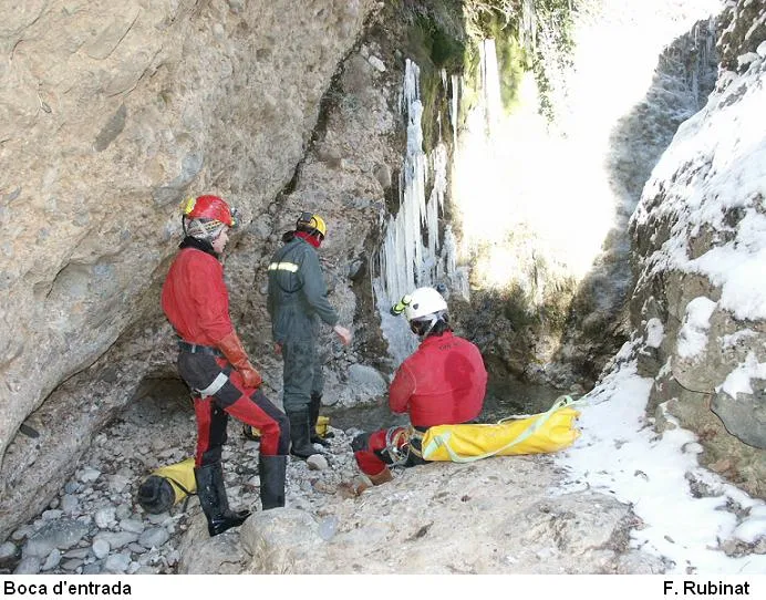
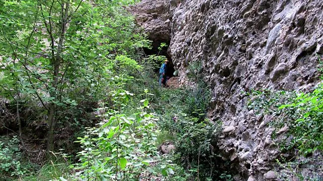
Photos
Espeleoindex · CC BY-NC 4.0, https://creativecommons.org/licenses/by-nc/4.0/ · Image © its author.
Description
Morphology
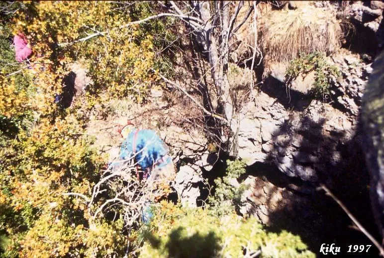
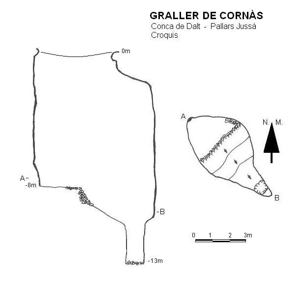
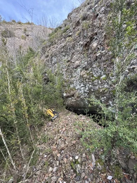
A mouth of ample dimensions (5X3 metres) gives access to a pit 9 metres deep, which, owing to the accumulation of material extracted in the digging carried out at the bottom, was reduced to less than 8 metres. A ramp of 30º and 6 metres in length places us at the head of a pit some 3 metres deep, opened entirely by digging. The final depth was set at -13 metres.
Hydrology
A short time after this digging, and owing to the rains, all the material extracted and accumulated on the upper level slipped down, and once again covered the dug part.
History
This cavity was located by Josep Guarro (SIE – CEA) in the course of a prospection at the end of the 1980's. When in 1995 the new galleries of the Cova Cuberes known as the Xarxa del 95 were explored, it was possible to verify that they coincided on the vertical of that hole. It was in 1997 that it was decided to re-examine that pit and several days of digging were devoted to its bottom, managing to descend some 3 or 4 metres further. Some time later, through the action of the rains, they were blocked up and it partly recovered its original appearance.
At first, and owing to the use of the not very detailed maps of the time, it was called Graller de Camporan, although this place name is very far from the location. Later it was also called (we do not know why) Graller de Cirera. We believe that the most correct thing is to use the nearest place name, which is Cornàs.
User Comments (0)
No comments yet.
Be the first to share your experience!
Registered Explorations (0)
No explorations registered yet.
Register your visit to this cave!
Bibliography
- Valles, Jordi de (2008).-”Alta Ribagorça, Pallars Jussà, Pallars Sobirà, Val d'Aran”. Catàleg Espeleològic de Catalunya (vol.1):56-57. EC Gràcia / Federació Catalana d'Espeleologia.
- Dades i coordenades facilitades per Josep Guarro.
- Fotos, croquis topogràfic i dades, aportades per Espeleoìndex.
Nearby caves


Source: Espeleoindex (espeleoindex.com), modified. CC BY-NC 4.0, https://creativecommons.org/licenses/by-nc/4.0/