
Forat Negre
An old spring with a 55 m course in Granera, known since time immemorial and documented speleologically since 1964.
EspeleoWorld
Forat Negre
An old spring with a 55 m course in Granera, known since time immemorial and documented speleologically since 1964.
Granera · Moianès
Length: 55 m · Depth: 3 m
Updated record
https://espeleoworld.com/en/c/forat-negre-granera
Information can change. Always verify coordinates, access, weather, and cave conditions before setting out.
An old spring with a 55 m course in Granera, known since time immemorial and documented speleologically since 1964.
Topographic
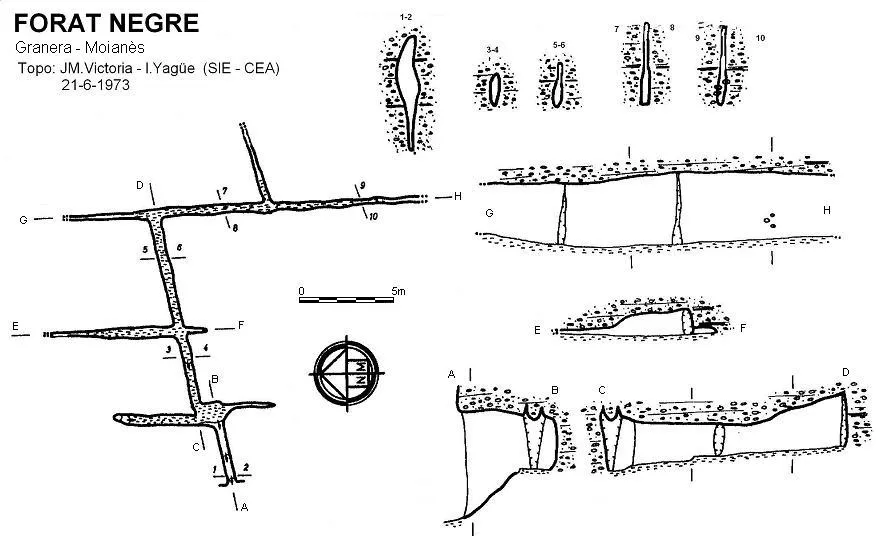
Espeleoindex · CC BY-NC 4.0, https://creativecommons.org/licenses/by-nc/4.0/ · Image © its author.
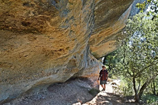
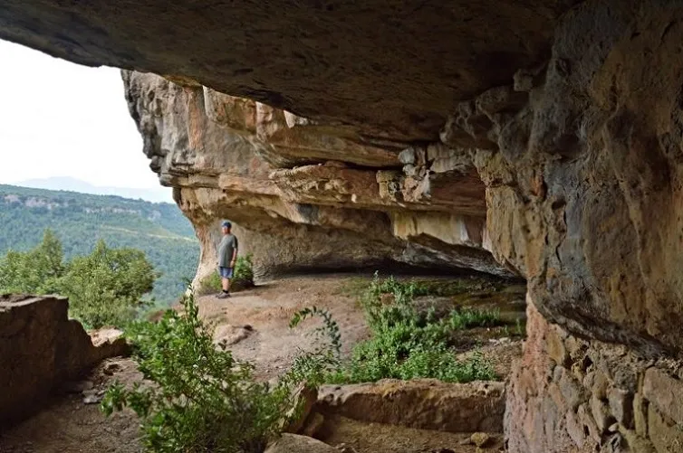
Photos
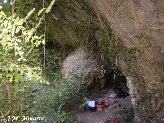
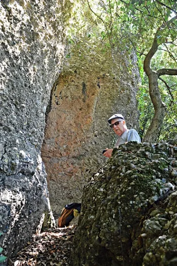
Espeleoindex · CC BY-NC 4.0, https://creativecommons.org/licenses/by-nc/4.0/ · Image © its author.
Description
Morphology
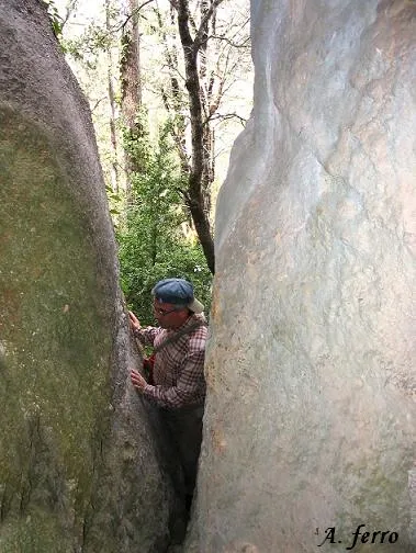
The mouth forms a narrow fissure in the lower part that must be passed through for a couple of metres to reach the upper zone and entrance chamber. From here three galleries start: those in a N and S direction are narrow and short, but the one that penetrates towards the E is a little wider (40 cm), considerably higher (2 – 2.5 metres) and about 12 metres long; halfway along its course a new gallery opens, narrower and just over 5 metres long. At the end of the main gallery, which has been gaining a little height, it meets another perpendicularly. To the left it ends within a few metres and to the right it continues about 20 metres further until it becomes impassable due to narrowness, but halfway along its course a new fork to the N is still found that ends just over 5 metres from its start.
Hydrology
It is an old spring excavated in the Eocene conglomerates deposited on the sandstones of the same period. Formed at the expense of a small residual network of joints in orthogonal crossing (N-S; E-W).
History
Cavity known since time immemorial by the people of the area. The first speleological visit that we have documented corresponds to the GES – CMB in September 1964. From a “graffiti” in the entrance chamber we know that in 1966 people from the TiM de Sabadell were there and in June 1973 members of the SIE – CE Àliga make the survey and study of the cavity that gives rise to the first documentary citation.
User Comments (0)
No comments yet.
Be the first to share your experience!
Registered Explorations (0)
No explorations registered yet.
Register your visit to this cave!
Bibliography
1. Borràs, J.; Miñarro, JM.; Talavera, F. (1980).- Catàleg Espeleològic de Catalunya (vol. 6): el Baix Empordà, el Gironès, la Selva, l'Osona, el Vallès Oriental i el Maresme: 290 pp. Ed. Políglota. Barcelona.
2. Tomàs, X.; Yagüe, I. (1974).- “Génesis y analogías de las cavidades del municipio de Granera” EspeleoSie (15): 133-141. SIE – CE Àliga. Barcelona.
Nearby caves


Source: Espeleoindex (espeleoindex.com), modified. CC BY-NC 4.0, https://creativecommons.org/licenses/by-nc/4.0/