
Forat dels Sunyers
Avenc d'enfonsament de 15 m. de fondària a Camprodon (el Ripollès)
EspeleoWorld
Forat dels Sunyers
Avenc d'enfonsament de 15 m. de fondària a Camprodon (el Ripollès)
Camprodon · Ripollès
Length: 87 m · Depth: 15 m
Updated record
https://espeleoworld.com/en/c/forat-dels-sunyers
Information can change. Always verify coordinates, access, weather, and cave conditions before setting out.
A 15 m deep collapse pit in Camprodon (el Ripollès), with two entrances, explored and studied in 2012.
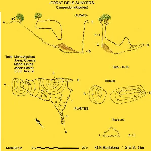
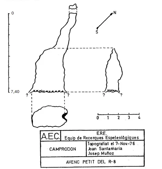
Topographic
Espeleoindex · CC BY-NC 4.0, https://creativecommons.org/licenses/by-nc/4.0/ · Image © its author.
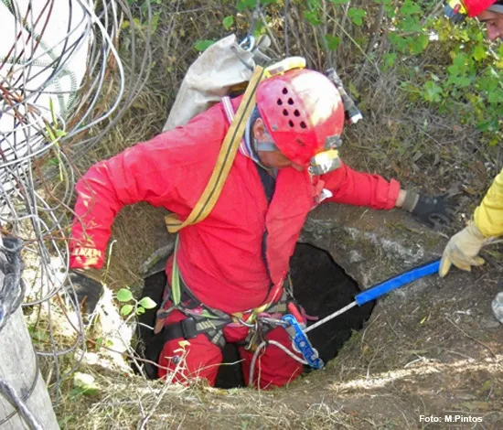
Photos
Espeleoindex · CC BY-NC 4.0, https://creativecommons.org/licenses/by-nc/4.0/ · Image © its author.
Description
Morphology
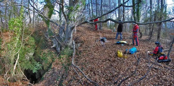
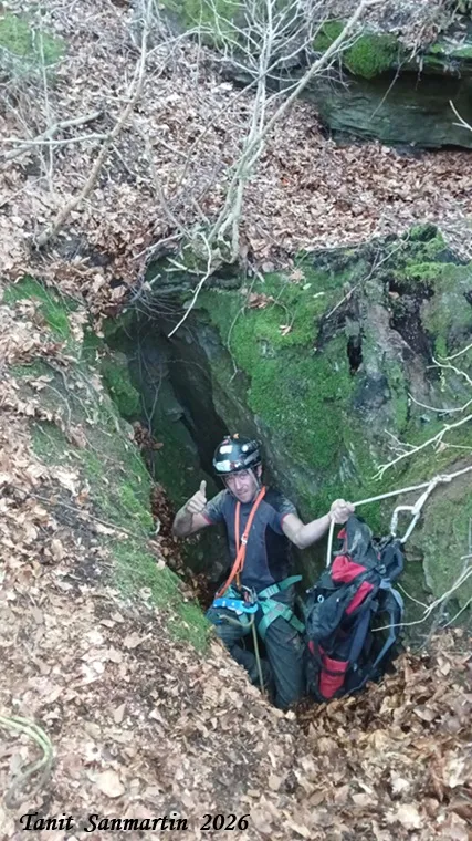
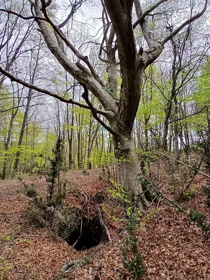
The cavity, formed by collapse, has two entrances, and access is via the more comfortable one, located on the S. Once the descent is made we find ourselves in a room of respectable dimensions, with the ceiling almost at 4 m. In the western part of the cavity there is a large cone of debris covered with beech leaves and remains of branches coming from the NW entrance, located 10 metres above in absolute vertical. To the right the cavity continues descending until reaching the maximum depth at -15 metres. At this point we can continue, now on ascending ground, for 13 metres in a decorated gallery that gradually narrows until it has a size of 0.8x1 metre, at which point it takes on impenetrable dimensions.
Speleothems
The final gallery is decorated.
Progression
The descent is feasible without a rope, but it is recommended to install a 20 metre rope on the beech tree near the entrance, which will provide safety and prevent slips caused by the high humidity and the leaf litter.
History
The first reference to the cavity is on a map from the late 1970s (Garrotxa, Ed. Alpina), where they give its location and a depth of 20 metres (we think the data came from members of the Centre Excursionista d'Olot), and these scant data are reflected in volume 4 of the Catàleg Espeleològic de Catalunya (1980).
In October 2011 a clean-up day took place at the pit known as la Tomba del Sitjar, in the municipality of Camprodon. That day the members of the Cos d'Agents Rurals who took part in the day showed the participants a nearby cavity, which turned out to be the Forat dels Sunyers. On 14 April 2012 a group made up of members of the GEB de Badalona and of the SES del Ger de Sant Pere de Ribes proceeded to carry out its exploration and study. The result was made known in Espeleobloc.
User Comments (0)
No comments yet.
Be the first to share your experience!
Registered Explorations (0)
No explorations registered yet.
Register your visit to this cave!
Bibliography
- Borràs, J.; Miñarro, JM.; Talavera, F.(1980).-”el Ripollès, la Garrotxa i l'Alt Empordà”. Catàleg Espeleològic de Catalunya. (vol. 4):1-296. Ed. Políglota. Barcelona.
- Dades, topografia i fotografies extretes del blog: Espeleobloc (post del 18-5-2012)
Nearby caves


Source: Espeleoindex (espeleoindex.com), modified. CC BY-NC 4.0, https://creativecommons.org/licenses/by-nc/4.0/