
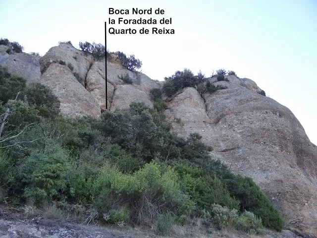
Forat del Vent
Coneguda foradada a la Serra de l'Obac
EspeleoWorld
Forat del Vent
Coneguda foradada a la Serra de l'Obac
Mura · Bages
Length: 35 m · Depth: 5 m
Updated record
https://espeleoworld.com/en/c/forat-del-vent-mura
Information can change. Always verify coordinates, access, weather, and cave conditions before setting out.
A well-known Foradada in the Serra de l'Obac, with two entrances and about 30 metres in length.
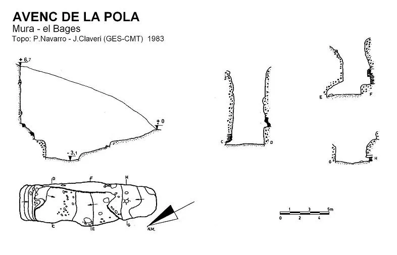
Topographic
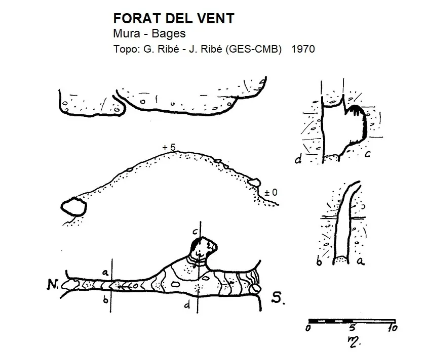
Espeleoindex · CC BY-NC 4.0, https://creativecommons.org/licenses/by-nc/4.0/ · Image © its author.
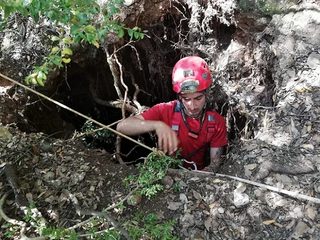
Photos
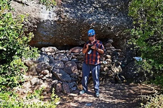
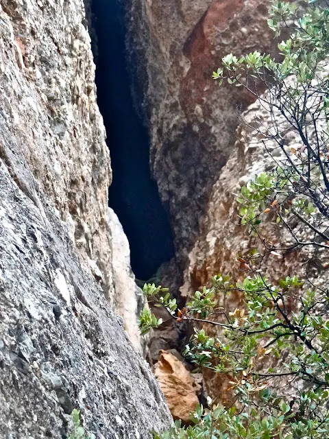
Espeleoindex · CC BY-NC 4.0, https://creativecommons.org/licenses/by-nc/4.0/ · Image © its author.
Description
Morphology
The Foradada is about 30 metres long and, in its central part, its width exceeds three metres. Throughout its course the height is also considerable. In addition, from the central gallery other holes branch off, all of them small, except one that becomes a small chamber.
Speleothems
The small chamber concentrates most of the formations of the cavity.
Progression
A climbing route on the Castellot uses the cave as an interior passage. It begins at its S entrance and, on reaching the N one, climbs the crag up to the summit.
History
Known since remote times by woodcutters and also by hikers. It seems that it was always known as Forat del Vent because of the strong draught of air existing between the two entrances. Around the years 1920/30 hikers began to call it Foradada del Quarto de Reixa, because of its proximity to the rock shelter of the same name.
Surveyed by the brothers G and J. Ribé (GES-CMB) in September 1970 during the work of cataloguing the Serra de l'Obac for the speleological catalogue of the province of Barcelona, which was never published.
User Comments (0)
No comments yet.
Be the first to share your experience!
Registered Explorations (0)
No explorations registered yet.
Register your visit to this cave!
Bibliography
- Dades i fotografies extretes del blog: trailsantllorenc.blogspot (de Lluís R. Hernández, Matadepera)
- Topografia inèdita de l'arxiu del GES – CM Barcelonès
- Topografia 2022 extreta del web: geb.cat (del Grup d'Espeleologia de Badalona). Apunt del 22-8-2022. Dades: Ferran Cardona (EGM Barcelonès), Josep Cuenca i Xavier Samarra (GE Badalona)
Nearby caves


Source: Espeleoindex (espeleoindex.com), modified. CC BY-NC 4.0, https://creativecommons.org/licenses/by-nc/4.0/