
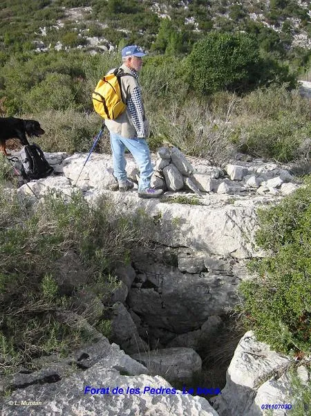
Forat de les Pedres
A 7 m deep fissure in the Garraf (Begues), beneath the ridge of the Serradet dels Joncs.
EspeleoWorld
Forat de les Pedres
A 7 m deep fissure in the Garraf (Begues), beneath the ridge of the Serradet dels Joncs.
Begues · Baix Llobregat
Length: 10 m · Depth: 7 m
Updated record
https://espeleoworld.com/en/c/forat-de-les-pedres
Information can change. Always verify coordinates, access, weather, and cave conditions before setting out.
A 7 m deep fissure in the Garraf (Begues), beneath the ridge of the Serradet dels Joncs.
Topographic
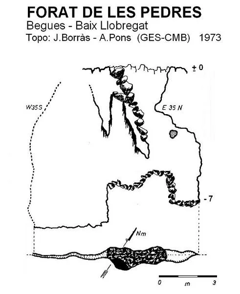

Espeleoindex · CC BY-NC 4.0, https://creativecommons.org/licenses/by-nc/4.0/ · Image © its author.
Photos

Espeleoindex · CC BY-NC 4.0, https://creativecommons.org/licenses/by-nc/4.0/ · Image © its author.
Description
Morphology
The entrance, 2 by 3 metres, forms a funnel partly obstructed by blocks that allows a descent of a couple of metres, the point at which one enters a E35N – O35S joint, widened in the central section. The fissure continues towards the SW but is practically impenetrable.
History
Discovered and explored by members of the GES – CMB in February 1973.
User Comments (0)
No comments yet.
Be the first to share your experience!
Registered Explorations (0)
No explorations registered yet.
Register your visit to this cave!
Bibliography
- Borràs, J. (1974).- Catálogo espeleológico del macizo de Garraf. Vol. III . 207 pp. Barcelona.
- Coordenades i foto boca facilitades per Lluís Muntan (GES-CMB)
Nearby caves
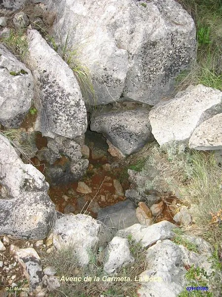
Avenc de la Carmeta
0.1 km · W
Begues (Baix Llobregat)
1 topo.1 photos
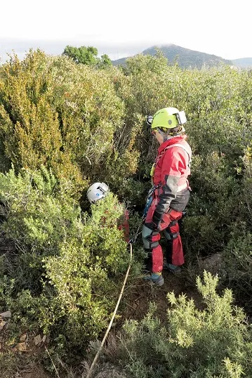
Avenc del Puig Escampador
0.4 km · NW
Olesa de Bonesvalls (Alt Penedès)
2 topo.7 photos
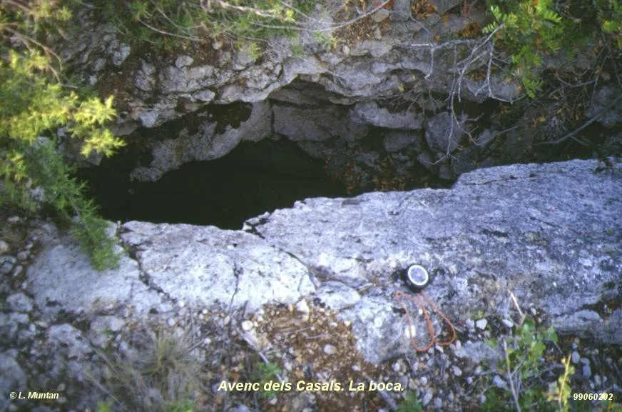
Avenc dels Casals
0.4 km · E
Begues (Baix Llobregat)
1 topo.1 photos
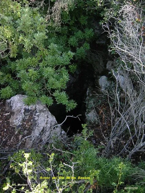
Avenc del Pla de les Basses
0.7 km · N
Olesa de Bonesvalls (Alt Penedès)
1 topo.4 photos
Source: Espeleoindex (espeleoindex.com), modified. CC BY-NC 4.0, https://creativecommons.org/licenses/by-nc/4.0/