
Forat de Costa Blanca
An 18-metre-deep pit in Ponts, explored in 1970 by the SIE del CE Àliga.
EspeleoWorld
Forat de Costa Blanca
An 18-metre-deep pit in Ponts, explored in 1970 by the SIE del CE Àliga.
Ponts · Noguera
Length: 42 m · Depth: 18 m
Updated record
https://espeleoworld.com/en/c/forat-de-costa-blanca
Information can change. Always verify coordinates, access, weather, and cave conditions before setting out.
An 18-metre-deep pit in Ponts, explored in 1970 by the SIE del CE Àliga.
Topographic
Espeleoindex · CC BY-NC 4.0, https://creativecommons.org/licenses/by-nc/4.0/ · Image © its author.
Photos
Espeleoindex · CC BY-NC 4.0, https://creativecommons.org/licenses/by-nc/4.0/ · Image © its author.
Description
Morphology
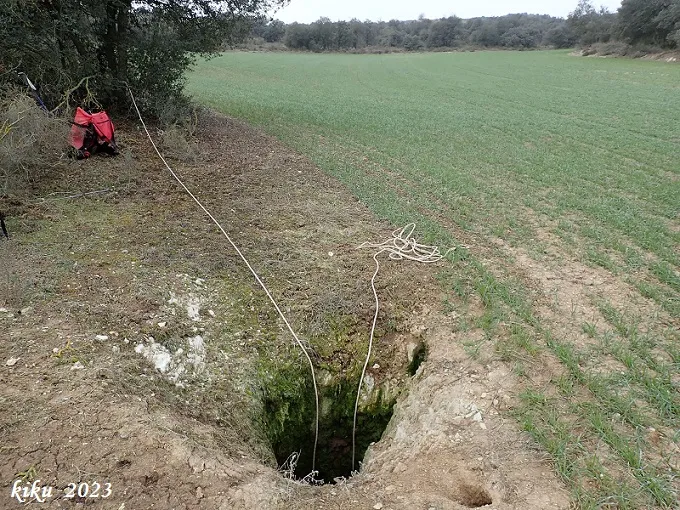
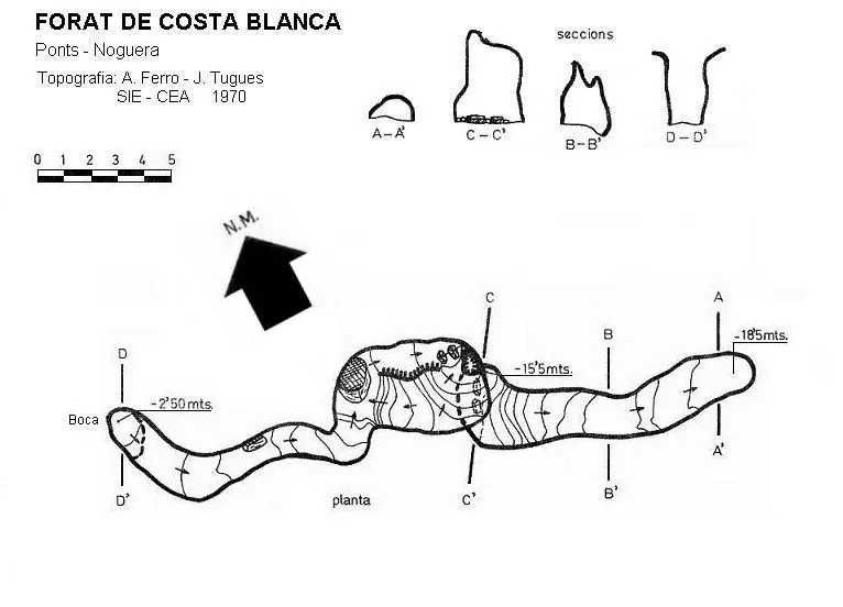
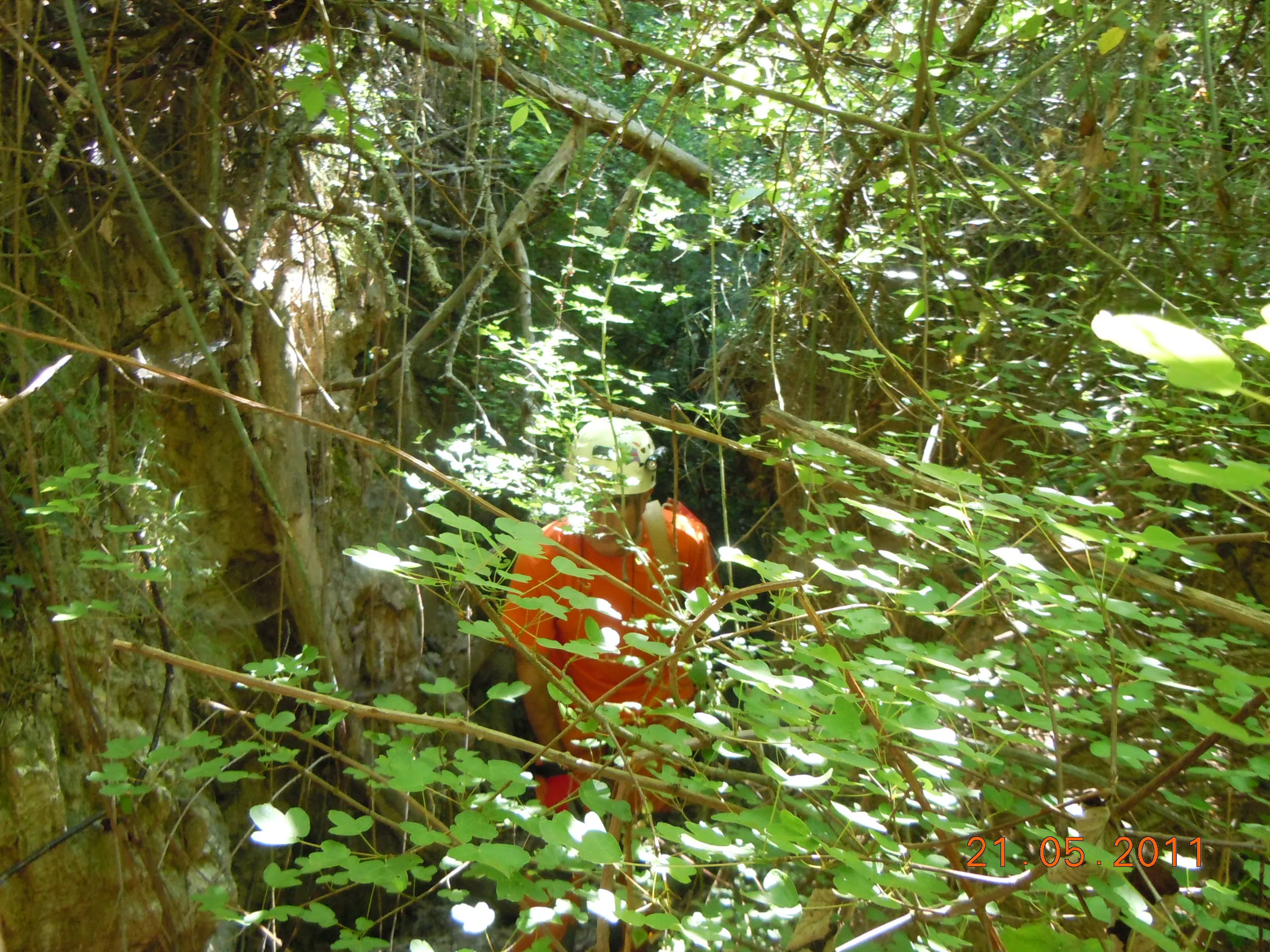
The one-metre-diameter mouth gives way via a 2.5-metre vertical drop to a low-roofed gallery that leads to a small chamber. At the opposite end, and after a second 4-metre drop, a descending gallery with a steep gradient begins, which places us at the point of maximum depth of the cavity, -18.5 metres.
History
Explored in 1970 by the SIE del CE Àliga.
User Comments (0)
No comments yet.
Be the first to share your experience!
Registered Explorations (0)
No explorations registered yet.
Register your visit to this cave!
Bibliography
- Ferro i Guitart, Antonio.(1972).-“Avance al catastro del karst en yesos de la cuenca del río Llobregós”. EspeleSie (11):55-73.SIE-CE Àliga. Barcelona.
- Gàzquez i Pons, Josep Lluís.(1995).-“Catàleg Espeleològic de la Noguera”. Grallera (3-4):1-90. GELL – CE Lleida.
- Valles, Jordi de (2008).-”Alt Urgell, Noguera, Pla d'Urgell, Segarra, Solsonès, Urgell”. Catàleg Espeleològic de Catalunya (vol.2):1-384. EC.Gràcia/Federació Catalana Espeleologia.
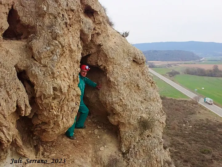
- Coordenades, situació i fotografies facilitades per Juli Serrano (SIE-CEA) i Francesc Rubinat (ERE-CEC). Març de 2023.
Nearby caves


Source: Espeleoindex (espeleoindex.com), modified. CC BY-NC 4.0, https://creativecommons.org/licenses/by-nc/4.0/