
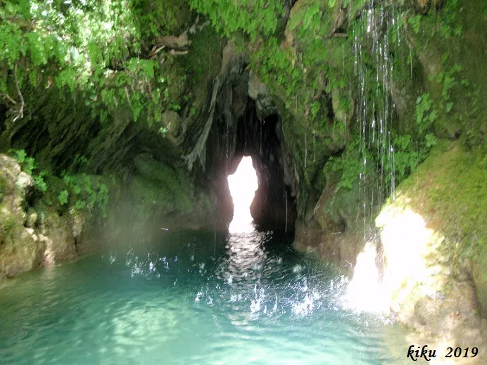
Forat de Bulí
Túnel natural de 21 metres de recorregut a la Baronia de Rialb.
EspeleoWorld
Forat de Bulí
Túnel natural de 21 metres de recorregut a la Baronia de Rialb.
Baronia de Rialb, La · Noguera
Length: 21 m
Updated record
https://espeleoworld.com/en/c/forat-de-buli
Information can change. Always verify coordinates, access, weather, and cave conditions before setting out.
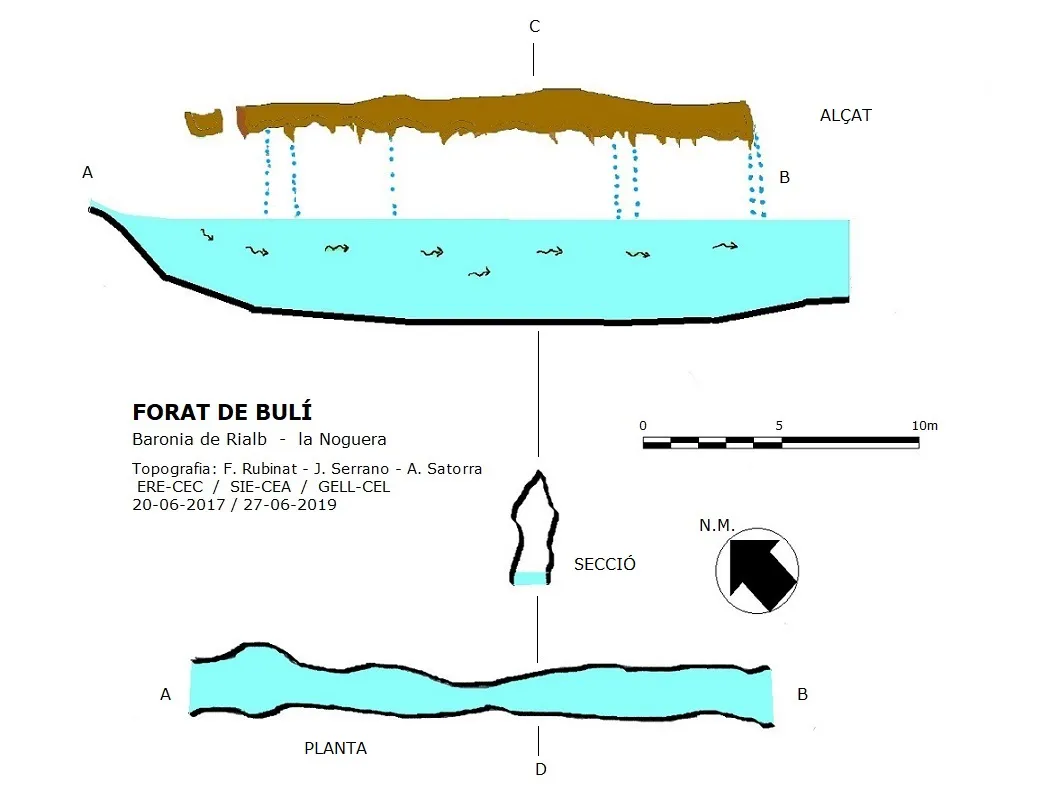
A natural tunnel 21 metres long in the Baronia de Rialb, within the Rialb river, with an average width of about 2 metres and a height between 3 and 4 metres.
Topographic
Espeleoindex · CC BY-NC 4.0, https://creativecommons.org/licenses/by-nc/4.0/ · Image © its author.
Photos
Espeleoindex · CC BY-NC 4.0, https://creativecommons.org/licenses/by-nc/4.0/ · Image © its author.
Description
Morphology
Within the Rialb river, when it is almost at the end of the gorge section, we find this curious tunnel 21 metres long with an average width of about 2 metres; the narrowest point is 0.90 metres, while the height to the ceiling from the water remains constant between 3 and 4 metres.
Speleothems
An accumulation of blocks and the formation of travertines from the various springs that emerge in this sector have contributed to the formation of the ceiling of this tunnel.
Hydrology
The water depth is more than 3 metres throughout the whole route.
Progression
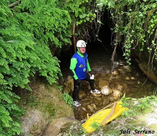
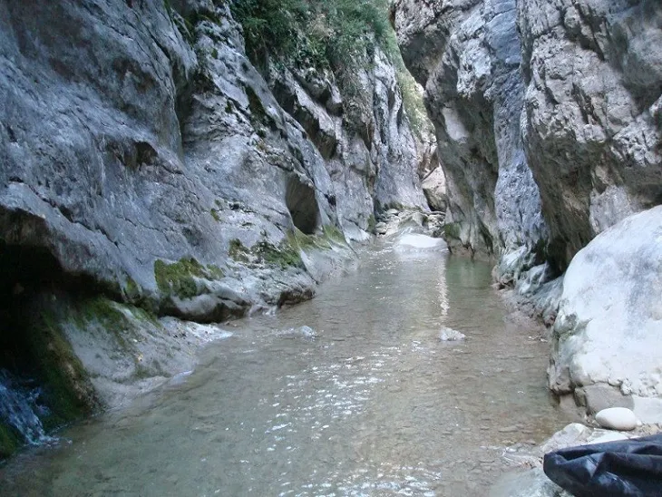
We will follow the track to the end over a distance of 625 metres; from here a path sets off which in 300 metres takes us to the bed of the Rialb, where about one hundred metres upstream we find the S mouth of the tunnel that forms the Forat de Bulí.
Once the river is crossed we find a path that climbs up the slope, overcoming a height difference of 73 metres; once at the top it levels out in a N direction and begins to descend towards the river, overcoming the gorge; once at the river we will have covered a distance of 575 metres from the point where we crossed the river; from this point we must follow the river downstream until we find the N mouth of the tunnel that forms the Forat de Bulí.
Another form of access is by swimming up the Rialb river from the S mouth of the tunnel, it is about seventy metres more plus the 21 metres of the Forat de Bulí. It is recommended to wear a wetsuit.
History
Known since ancient times in the area, and quite well known among gorge descent practitioners.
User Comments (0)
No comments yet.
Be the first to share your experience!
Registered Explorations (0)
No explorations registered yet.
Register your visit to this cave!
Bibliography
- Situació, dades, coordenades, topografia i fotografies, aportades per Antoni Satorra (GELL-CEL), Juli Serrano (SIE-CEA), Francesc Rubinat (ERE-CEC).
Nearby caves


Source: Espeleoindex (espeleoindex.com), modified. CC BY-NC 4.0, https://creativecommons.org/licenses/by-nc/4.0/