
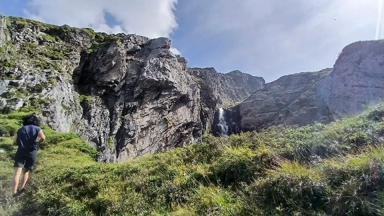
Eth Hòro Des Barrancs
Important engolidor de 37 m. de fondària al barranc de la Ribera
EspeleoWorld
Eth Hòro Des Barrancs
Important engolidor de 37 m. de fondària al barranc de la Ribera
Vielha e Mijaran · Val d'Aran
Length: 60 m · Depth: 37 m
Updated record
https://espeleoworld.com/en/c/eth-horo-des-barrancs
Information can change. Always verify coordinates, access, weather, and cave conditions before setting out.
Important sinkhole 37 m deep in the barranc de la Ribera, with a 40 by 20 metre mouth, known since time immemorial and explored by the IEES in October 1980.
Topographic
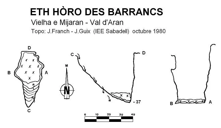
Espeleoindex · CC BY-NC 4.0, https://creativecommons.org/licenses/by-nc/4.0/ · Image © its author.
Photos
Espeleoindex · CC BY-NC 4.0, https://creativecommons.org/licenses/by-nc/4.0/ · Image © its author.
Description
Morphology
Impressive sinkhole with a 40 by 20 metre mouth that develops at the contact between the Carboniferous slates and the Devonian limestones. For much of the year it remains covered by snow.
Its large dimensions have favoured its blocking, since the snow drags blocks and materials that have filled its bottom.
Hydrology
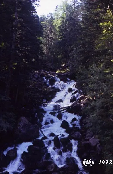
Through it flow the waters coming from the upper area of the lake and coll deth Hòro. From the great hole onwards the torrent remains dry and gains verticality. The water filters between stones before reaching the deepest point.
Progression
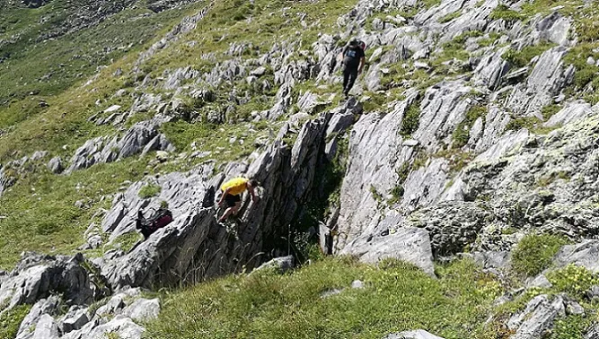
It can easily be descended to its deepest point by means of a ramp along which the water flows.
History
Known since time immemorial by the people of the area. The first specific speleological reference we know of comes from the exploration carried out by members of the IEES (Sabadell) in October 1980.
According to our colleagues from Sabadell in an earlier work on the history of the Forau d'Aigualluts, also known as 'Trou de Toro', there is a somewhat legendary story that tells that one of the Luchon guides who had taken part in the first ascent of the Aneto in 1842 had the obsession of finding a gold vein and, with other companions, went to a mysterious excavation known as 'Horo'. Apparently the exploration was quite bizarre and for a time it was very popular in the Luchon area, so much so that many visitors to the area asked the guides to visit the famous forat de l'or (hole of gold). But this did not satisfy the guides, since the distance was very great to do in a day, and so they took them to the Forau d'Aigualluts, saying that it was the 'Trou de Toro', with a clear phonetic confusion. The famous Norbert Casteret, in his accounts of the colouring he carried out in 1931 at the Forau d'Aigualluts, demonstrating the hydrological relationship with the Uelhs det Joeu, speaks of the 'Trou de Toro' and says that its name comes from the noise of the waterfall that sounds like the bellowing of a bull (as everyone knows: toros, España and olé).
In short: everything seems to indicate that the true 'forat de l'or' is none other than the one we are dealing with, located on the Aranese slope and not the Forat d'Aigualluts, on the Aragonese slope.
Toponymy: Josep Maria Cervelló (ERE-CEC) in his blog: l'Estret de Roques (post 13-6-2009) already tells us about these toponymic disquisitions and the confusion between the Aranese word Hòro (variant of Horat = hole) and Toro is quite clear, a product, as our friend and philologist Ferran Alexandri (ERE-CEC) tells us, of a simple phonetic link (eth Hòro) due to the elision of the silent h's of this segment.
User Comments (0)
No comments yet.
Be the first to share your experience!
Registered Explorations (0)
No explorations registered yet.
Register your visit to this cave!
Bibliography
IEES (1979).- 'El Trou de Toro y su historia'. Actas Espeleològicas (1): 65-80. Institut d'Estudis Espeleològics de Sabadell.
IEES (1986).-'Tres cavitats al Pirineu Central'. Actas Espeleológicas (2): 65-69. Institut d'Estudis Espeleològics de Sabadell.
Valles, Jordi de (2008).-'Alta Ribagorça, Pallars Jussà, Pallars Sobirà, Val d'Aran'. Catàleg Espeleològic de Catalunya (vol.1):1-319. E C Gràcia/FCE.
Coordenades i fotografies facilitades per Nil Hosta i Tanit Sanmartin. Setembre de 2025.
Nearby caves
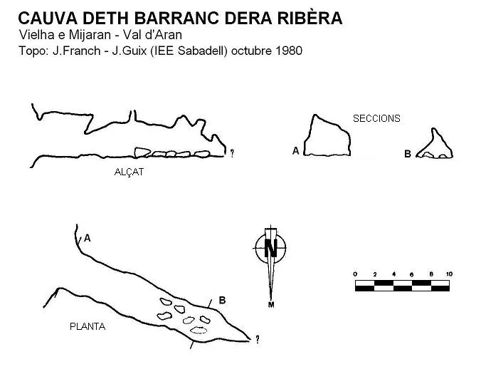
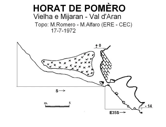


Source: Espeleoindex (espeleoindex.com), modified. CC BY-NC 4.0, https://creativecommons.org/licenses/by-nc/4.0/