
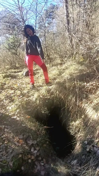
Esquerdes de Santa Eugènia
Petita esquerda a Sant Jaume de Frontanyà
EspeleoWorld
Esquerdes de Santa Eugènia
Petita esquerda a Sant Jaume de Frontanyà
Sant Jaume de Frontanyà · Berguedà
Length: 18 m · Depth: 4 m
Updated record
https://espeleoworld.com/en/c/esquerdes-de-santa-eugenia
Information can change. Always verify coordinates, access, weather, and cave conditions before setting out.
Small fissure at Sant Jaume de Frontanyà, located by Nil Hosta and Tanit Sanmartin in early 2026 and explored in April of the same year.
Topographic
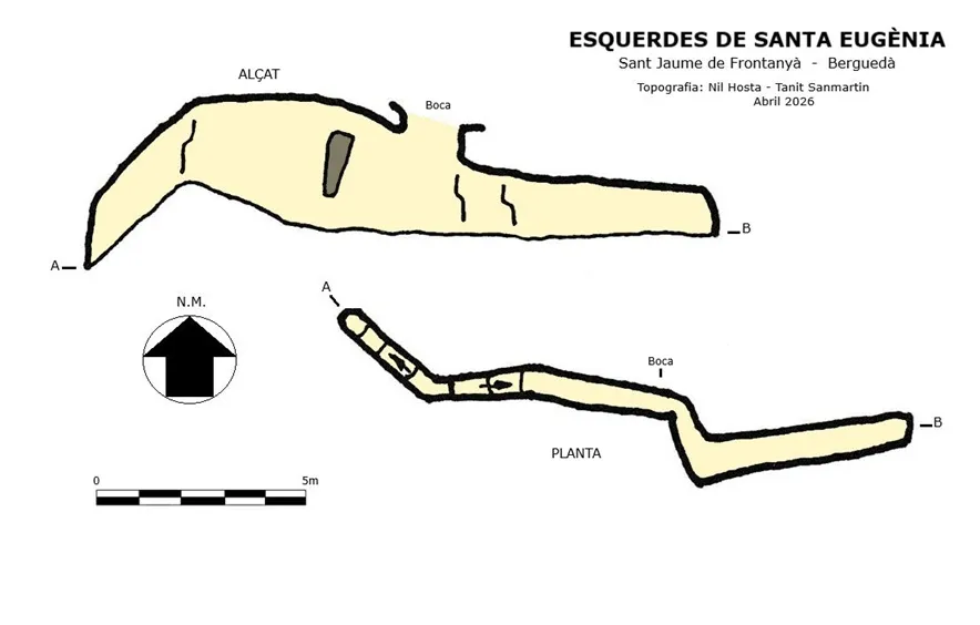

Espeleoindex · CC BY-NC 4.0, https://creativecommons.org/licenses/by-nc/4.0/ · Image © its author.
Photos

Espeleoindex · CC BY-NC 4.0, https://creativecommons.org/licenses/by-nc/4.0/ · Image © its author.
Description
Morphology
The 1.25x0.75 metre entrance gives access to a small drop of less than 3 metres, placing you in the middle of a fissure that in an E direction ends at 7 metres and in a W direction has a steep slope that ends after a few metres.
History
Located by Nil Hosta and Tanit Sanmartin in early 2026, cleared and explored in April of the same year.
The name Santa Eugènia is known locally as Santa Eugínia.
User Comments (0)
No comments yet.
Be the first to share your experience!
Registered Explorations (0)
No explorations registered yet.
Register your visit to this cave!
Bibliography
Totes les dades, coordenades, topografia i fotografies han estat facilitades per Nil Hosta i Tanit Sanmartin. Abril de 2026.
Nearby caves
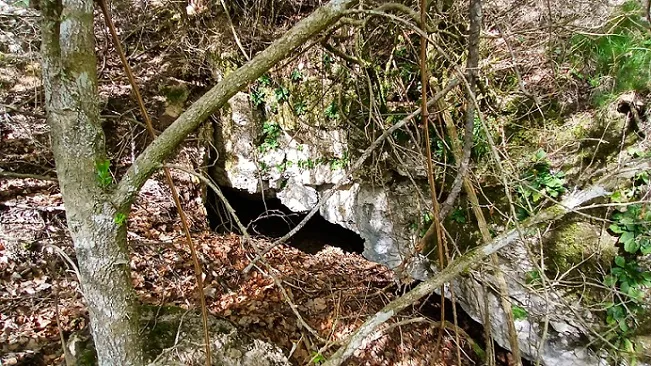
Cova del Rec de les Muntanyetes
0.3 km · N
Pobla de Lillet, La (Berguedà)
1 topo.7 photos
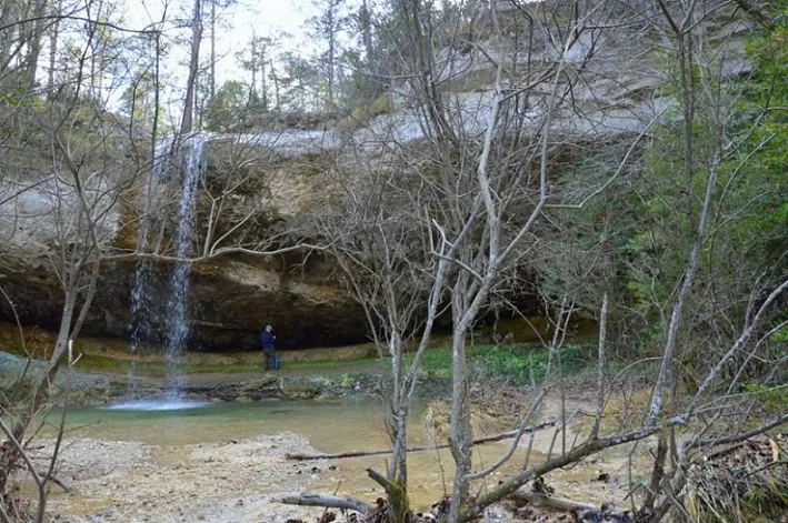
Bauma del Salt del Bisbe
1.0 km · NW
Pobla de Lillet, La (Berguedà)
2 topo.2 photos
Cova de les Lloberes
2.2 km · SW
Llosses, Les (Ripollès)
1 topo.5 photos
Escletxa Gran de Corrubí
3.6 km · E
Llosses, Les (Ripollès)
2 topo.4 photos
Source: Espeleoindex (espeleoindex.com), modified. CC BY-NC 4.0, https://creativecommons.org/licenses/by-nc/4.0/