

Esquerda del Graller
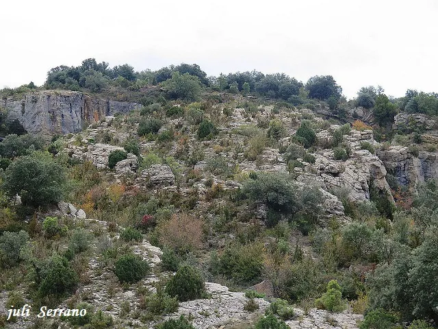
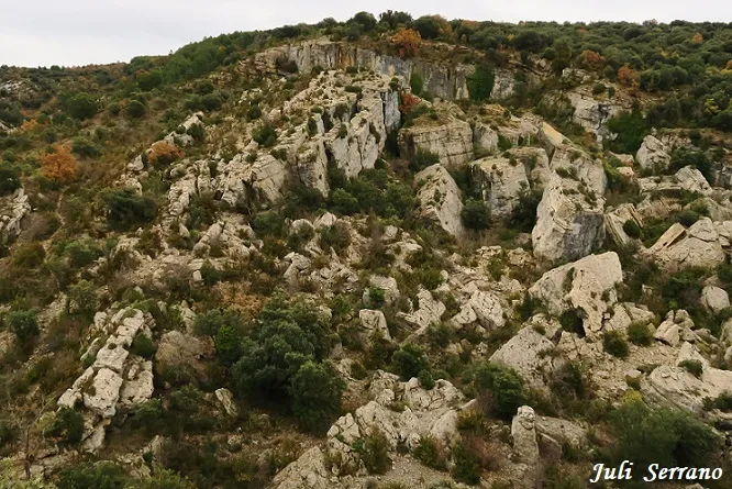
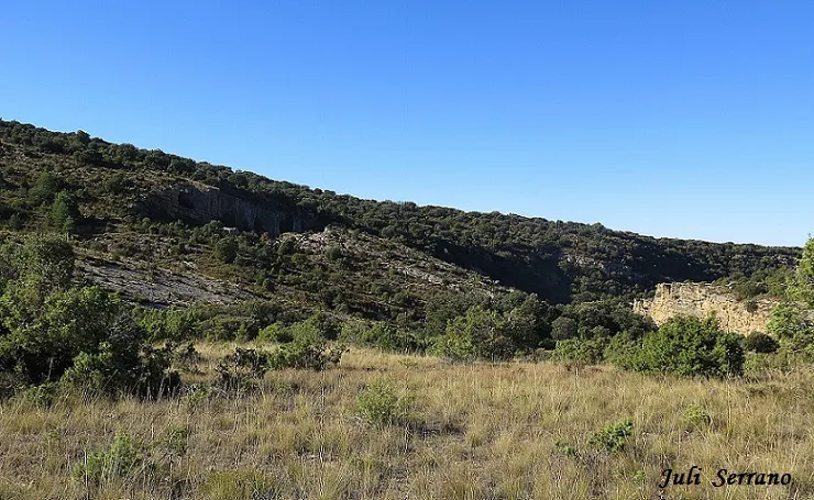
Tectonic fissure with a 58 m drop in the municipality of Àger, on the south crag of the barranc de la Pardina.
EspeleoWorld
Esquerda del Graller
Tectonic fissure with a 58 m drop in the municipality of Àger, on the south crag of the barranc de la Pardina.
Àger · Noguera
Length: 245 m · Depth: 58 m
Updated record
https://espeleoworld.com/en/c/esquerda-del-graller
Information can change. Always verify coordinates, access, weather, and cave conditions before setting out.
Tectonic fissure with a 58 m drop in the municipality of Àger, on the south crag of the barranc de la Pardina.
Topographic

Espeleoindex · CC BY-NC 4.0, https://creativecommons.org/licenses/by-nc/4.0/ · Image © its author.
Photos
Espeleoindex · CC BY-NC 4.0, https://creativecommons.org/licenses/by-nc/4.0/ · Image © its author.
Description
Morphology
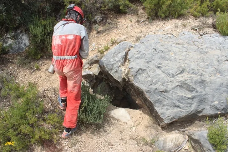
This is a tectonic cavity produced by the movement of attraction towards the void at the western end of the south crag of the barranc de la Pardina. The main fissure opens to the outside for about sixty metres with an average width of a metre and a half. Via its western end and at the foot of the crag it is possible to reach a lower level of the fissure, which descends steeply until it connects with another fissure with a NW-SE orientation; following it in a NW direction, it narrows until it becomes impenetrable. Entering through the upper fissure it is possible to progress from west to east for some 55 metres, at which point it meets a joint with a SW-NW orientation, whose floor lies some 10 metres below.
Progression
Entering through the upper fissure it is possible to progress from west to east for some 55 metres, at which point it meets a joint with a SW-NW orientation, whose floor lies some 10 metres below. Once the vertical section has been overcome, it is possible to continue towards the NW where, after a narrow passage, the gallery leads us to a point where it merges with the lower part of the cavity.
History
First explored by the GIRES of Sant Esteve de Sesrovires in October 1985, based on indications from Mr. Joan Grau, a resident of Corçà.
User Comments (0)
No comments yet.
Be the first to share your experience!
Registered Explorations (0)
No explorations registered yet.
Register your visit to this cave!
Bibliography
- Gàzquez i Pons, Josep lluis (1984).-”Catàleg Espeleològic de la Noguera”. Grallera (3-4):1-90. GELL-CEL. Lleida.
- GIRES. (1993).-“Esquerda del Graller”. Passamà (1):52. GIRES. Sant Esteve Sesrovires.
- Valles, Jordi de (2008).-”Alt Urgell, Noguera, Pla d'Urgell, Segarra, Solsonès, Urgell”. Catàleg Espeleològic de Catalunya (Vol.2):1-384. ECG/FCE.
- Situació, coordenades i fotografies facilitades per Arcadia Cabanas i Francesc Rubinat (ERE-CEC).
- Altres fotografies facilitades per Josep M. Molgó (GELL-CEL).
Nearby caves


Source: Espeleoindex (espeleoindex.com), modified. CC BY-NC 4.0, https://creativecommons.org/licenses/by-nc/4.0/