
Espluga Petita del Congost
Cova de 38 metres de recorregut a Abella de la Conca
EspeleoWorld
Espluga Petita del Congost
Cova de 38 metres de recorregut a Abella de la Conca
Abella de la Conca · Pallars Jussà
Length: 38 m · Depth: 2 m
Updated record
https://espeleoworld.com/en/c/espluga-petita-del-congost
Information can change. Always verify coordinates, access, weather, and cave conditions before setting out.
A 38-metre-long cave in Abella de la Conca, long known to local people and first explored by the SIE del CEA in 1965.
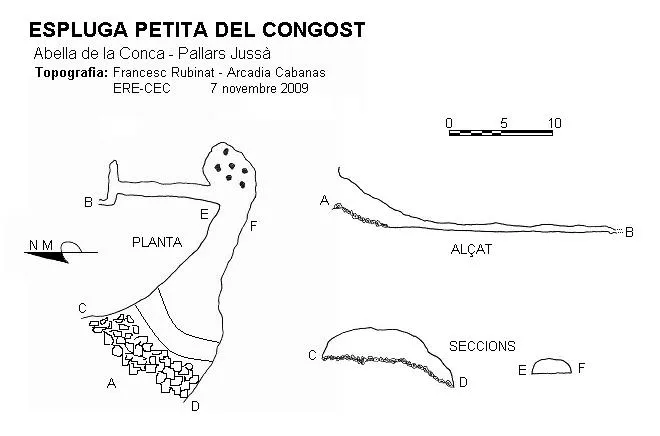
Topographic

Espeleoindex · CC BY-NC 4.0, https://creativecommons.org/licenses/by-nc/4.0/ · Image © its author.
Photos

Espeleoindex · CC BY-NC 4.0, https://creativecommons.org/licenses/by-nc/4.0/ · Image © its author.
Description
Morphology
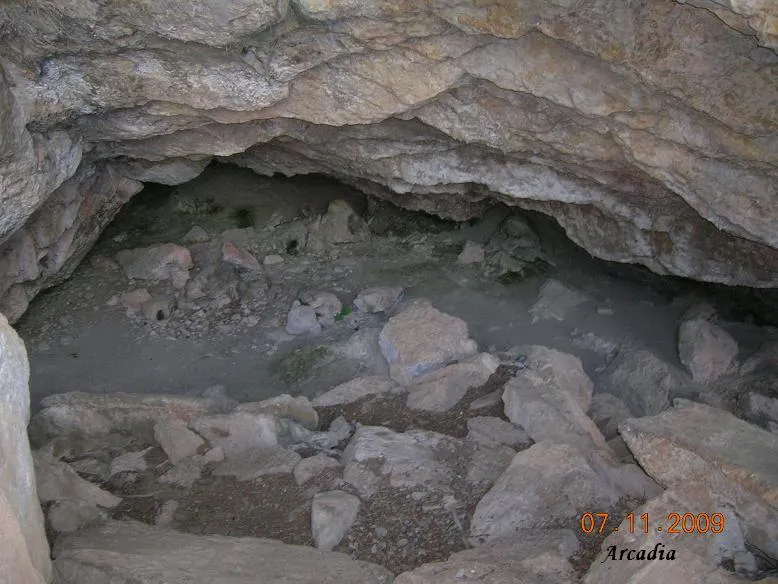
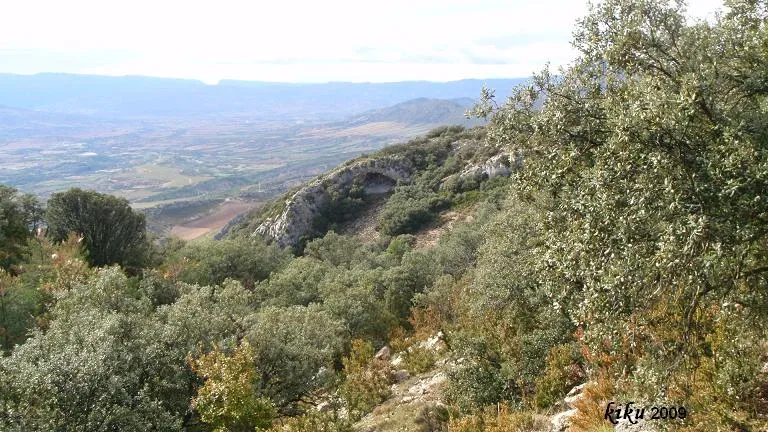
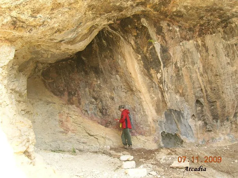
Cave 38 metres long. Mouth of about 12x3 metres with a gallery that descends 2.5 metres among blocks. The ceiling lowers and you enter a small low chamber with several passages that do not continue.
Progression
On the north side a 10-metre-long crawl leads to an intersection; to the left it continues, again taking the north direction, becoming extremely narrow.
History
Long known to local people. The first reference to speleological exploration corresponds to the SIE del CEA in 1965.
User Comments (0)
No comments yet.
Be the first to share your experience!
Registered Explorations (0)
No explorations registered yet.
Register your visit to this cave!
Bibliography
- Senent, J.; Victoria, JM.(1965).-“Datos para el conocimiento espeleológico del macizo del Boumort”. Montaña (100):269-281 Centre Excursionista de Catalunya. Barcelona.
- Borrás, J; Miñarro, J.M.; Talavera, F. (1978).- Catàleg Espeleològic de Catalunya (Vol.3): 59-64. Ed. Políglota. Barcelona.
- Vega, J. De la. (1981).-”Aplec de documents arqueològics de les coves del Montsec i llur projecció a les comarques i serres properes”. Mediterrània (12): 1-359.
Nearby caves
Espluga del Congost
0.0 km · N
Abella de la Conca (Pallars Jussà)
1 topo.7 photos
Balma del Congost
0.1 km · NE
Abella de la Conca (Pallars Jussà)
1 topo.4 photos
Balma d'en Coloms
0.2 km · E
Abella de la Conca (Pallars Jussà)
1 topo.5 photos
Balma de l'Olivé
0.5 km · E
Abella de la Conca (Pallars Jussà)
1 topo.2 photos
Source: Espeleoindex (espeleoindex.com), modified. CC BY-NC 4.0, https://creativecommons.org/licenses/by-nc/4.0/