
Coves de Salgar
A group of independent caves beside the Segre river (Foradada), including the Cova de la Mare de Déu, the Celler dels Frares, the Cova de la Moneda and the Cova de la Barca.
EspeleoWorld
Coves de Salgar
A group of independent caves beside the Segre river (Foradada), including the Cova de la Mare de Déu, the Celler dels Frares, the Cova de la Moneda and the Cova de la Barca.
Foradada · Noguera
Length: 80 m · Depth: 20 m
Updated record
https://espeleoworld.com/en/c/coves-de-salgar
Information can change. Always verify coordinates, access, weather, and cave conditions before setting out.
A group of independent caves beside the Segre river (Foradada), including the Cova de la Mare de Déu, the Celler dels Frares, the Cova de la Moneda and the Cova de la Barca.
Topographic
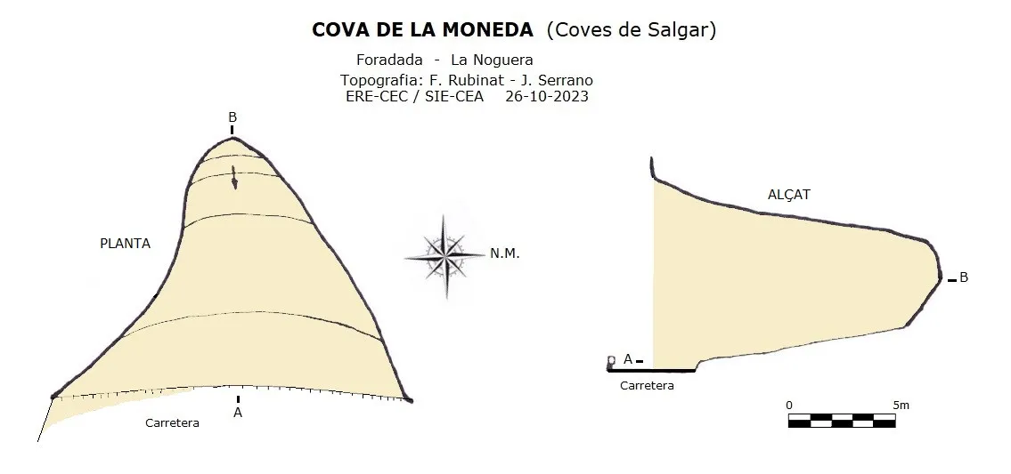
Espeleoindex · CC BY-NC 4.0, https://creativecommons.org/licenses/by-nc/4.0/ · Image © its author.
Photos
Espeleoindex · CC BY-NC 4.0, https://creativecommons.org/licenses/by-nc/4.0/ · Image © its author.
Description
Morphology
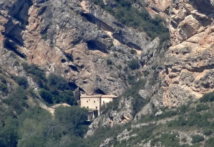
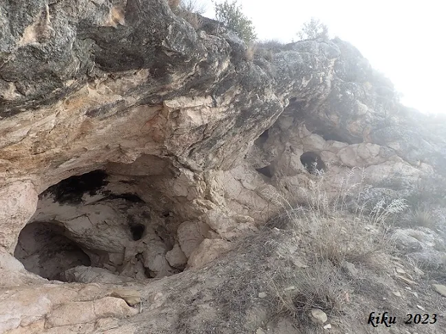
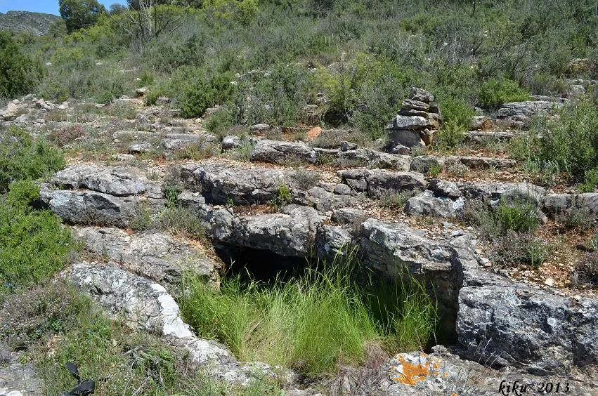
It is a group of rock shelters and small caves structured on a slope of the strata of the serra del Munt.
Inside the sanctuary enclosure and forming part of it we find the Cova de la Mare de Déu and the Celler dels Frares; these are stepped at different levels and are connected by means of stairways and with holes in the ceiling made artificially for their communication. As there is no survey of this sector, the data on the altimetry and the route are only indicative.
Once outside the enclosure, one must follow the road a few metres in the direction of Rubió de Baix where we find a bridge; at the end of it, a few metres further on to the left at the roadside, we find the Cova de la Moneda, which is a large rock shelter with a length of 14 metres, and just below the aforementioned bridge is the Cova de la Barca, reached from the left side of the bridge right beside the crag, in a space right next to the road. The original cave is quite blurred due to the construction of the road bridge; the bases of the bridge's supporting columns are at the entrance of the cave. The cave consists of two parallel conduits situated at different heights, the total length is about 25 metres.
Progression
Inside the cave some implements are still preserved that served to tie up the boat whose function was to take people to the other bank of the river.
History
In the same gorge, on the other bank of the river stood the Castell de Malagastre, which was conquered from the Muslims in an expedition (1015-1016) of count Ramon Borrell de Barcelona; in 1018 the count made a donation to Sant Serní de Tavèrnoles of an Espluga near the castle with the aim of building a church dedicated to Sant Salvador, although it seems that the place returned to the hands of the Muslims.
In 1054 the first reference to Salgar appears in a donation document made by Arnau Mir de Tost to Sant Miquel de Montmagastre. In 1192 the church is documented. In the year 1263 a small hospital of Sant Jordi was built at the site. In 1530 the Renaissance cloister is built and the boat service is established from the cave to the other side of the Segre river. In 1608 it is built under the rock shelter. In the 18th century a bridge was built (now disappeared) that crossed the Segre at this point; it is to be supposed that the bridge did not last long, since it is recorded that in 1783 there was a boat service. With the Mendizábal disentailment in 1835 the whole sanctuary complex is sold, passing into private hands. During the war of 1936-39 it is quite badly damaged, with a subsequent state of abandonment. In 1972 a group from Artesa de Segre proceeded to its restoration.
The cavities are already mentioned in works of a general nature (P. Madoz, 1845-50; C. del Prado, 1864) and later included in the old speleological catalogues. The first detailed description is made by Josep Maluquer as a result of a visit he made to the area in the summer of 1902.
Toponymy: The name of Salgar comes from Arabic: al-gâr, which means cave.
User Comments (0)
No comments yet.
Be the first to share your experience!
Registered Explorations (0)
No explorations registered yet.
Register your visit to this cave!
Bibliography
- Font i Sagué, Norbert. (1897).-”Catàlech Espeleològich de Catalunya (continuació)”. Butlletí Centre Excursionista de Catalunya (33):266-274. CEC. Barcelona.
- Maluquer, J. (1902).-”Les Coves de Salgà (Ribera del Segre)”. Butlletí del Centre Excursionista de Catalunya (95):313-323. CEC. Barcelona.
- Puig i Larraz, G. (1896).-”Cavernas y Simas de España”. Bol. Com. Mapa Geológico de España. (21).
- Valles, Jordi de (2009).-”Alt Urgell, Noguera, Pla d'Urgell, Segarra, Solsonès, Urgell”. Catàleg Espeleològic de Catalunya (Vol.2):1-384. ECG/FCE.
- Monestirs de Catalunya (www.monestirs.cat)
- Catalunya medieval (www.catalunyamedieval.es)
- Dades, coordenades i fotografies han estat aportades per l'equip d'Espeleoíndex de la visita realitzada el 6-10-2012.
- Actualització de dades, topografies i fotografies, facilitades per Juli Serrano, Montse Roca (SIE-CEA) i Francesc Rubinat (ERE-CEC) a partir de les visites realitzades el 9 de setembre i el 26 d'octubre de 2023.
Nearby caves
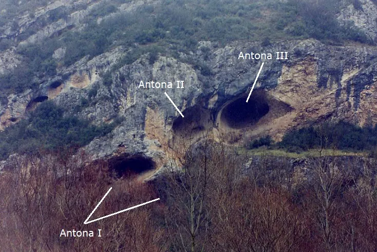
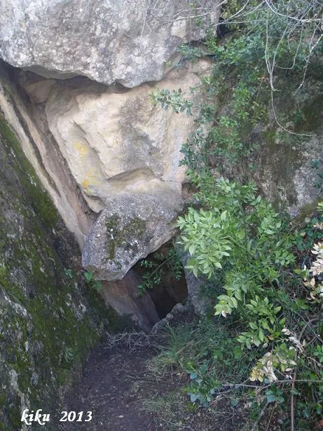


Source: Espeleoindex (espeleoindex.com), modified. CC BY-NC 4.0, https://creativecommons.org/licenses/by-nc/4.0/