
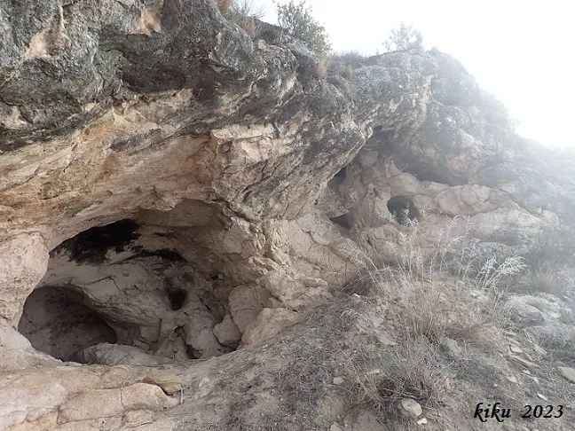
Cova de Malagastre
Petita cova sota el Castell de Malagastre, a Artesa de Segre.
EspeleoWorld
Cova de Malagastre
Petita cova sota el Castell de Malagastre, a Artesa de Segre.
Artesa de Segre · Noguera
Length: 27 m · Depth: 4 m
Updated record
https://espeleoworld.com/en/c/cova-de-malagastre
Information can change. Always verify coordinates, access, weather, and cave conditions before setting out.
Small cave beneath the Castle of Malagastre, in Artesa de Segre, long known in the area.
Topographic
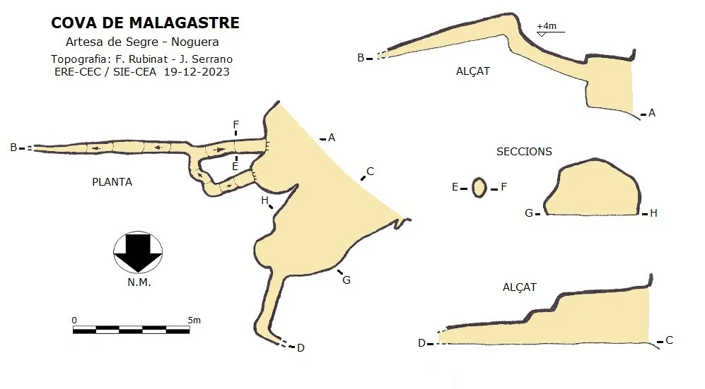
Espeleoindex · CC BY-NC 4.0, https://creativecommons.org/licenses/by-nc/4.0/ · Image © its author.
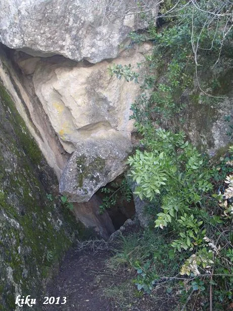
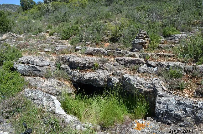
Photos
Espeleoindex · CC BY-NC 4.0, https://creativecommons.org/licenses/by-nc/4.0/ · Image © its author.
Description
Morphology
In the lower part of the cave, we find a wide gallery that at 5 metres narrows considerably (0.50x0.90 metres), continues for a couple of metres and turns left, the passage becoming too narrow to pass. In the upper part of the cave, we find two forced passages raised off the ground; both converge inside, the passage continues in a slight descent for about 6 metres, until it becomes impenetrable. The total route is 27 metres with a positive drop of +4 metres.
History
Long known in the area.
User Comments (0)
No comments yet.
Be the first to share your experience!
Registered Explorations (0)
No explorations registered yet.
Register your visit to this cave!
Bibliography
- Totes les dades, coordenades, topografia i fotografies han estat facilitades per Juli Serrano (SIE-CEA) i Francesc Rubinat (ERE-CEC).
Nearby caves


Source: Espeleoindex (espeleoindex.com), modified. CC BY-NC 4.0, https://creativecommons.org/licenses/by-nc/4.0/