
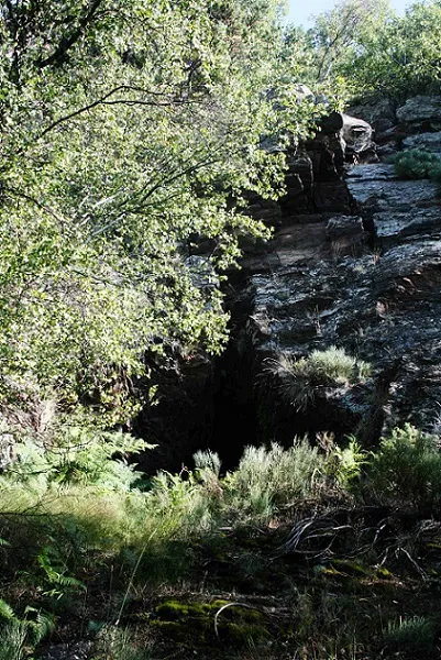
Cova Serra Plana
A 15-metre fissure at Roc dels Malls, Aidí (Llavorsí), a horizontal cavity in slate long known and surveyed in 2018.
EspeleoWorld
Cova Serra Plana
A 15-metre fissure at Roc dels Malls, Aidí (Llavorsí), a horizontal cavity in slate long known and surveyed in 2018.
Llavorsí · Pallars Sobirà
Length: 15 m · Depth: 1 m
Updated record
https://espeleoworld.com/en/c/cova-serra-plana
Information can change. Always verify coordinates, access, weather, and cave conditions before setting out.
A 15-metre fissure at Roc dels Malls, Aidí (Llavorsí), a horizontal cavity in slate long known and surveyed in 2018.
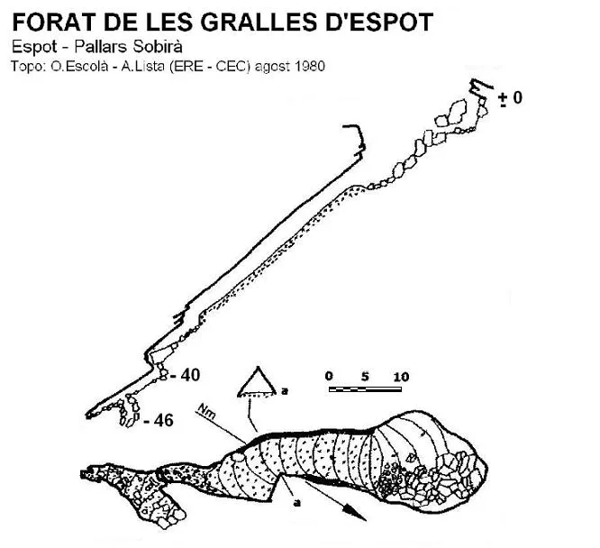
Topographic
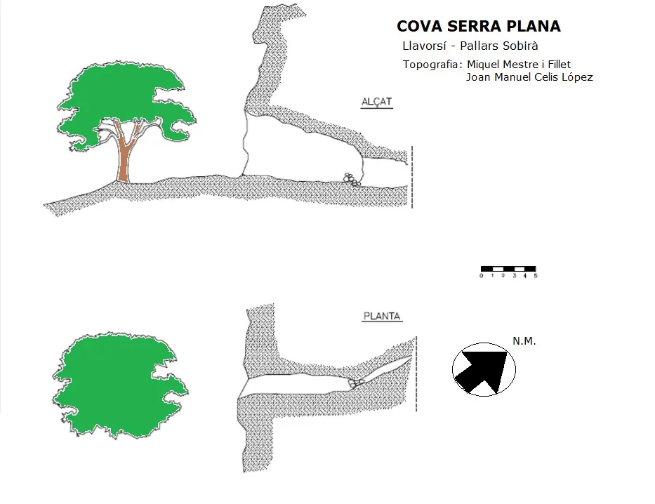
Espeleoindex · CC BY-NC 4.0, https://creativecommons.org/licenses/by-nc/4.0/ · Image © its author.
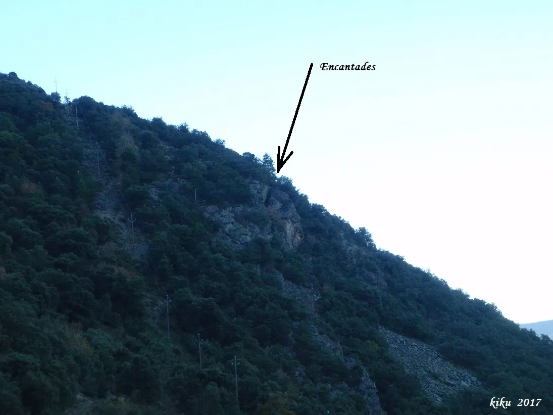
Photos
Espeleoindex · CC BY-NC 4.0, https://creativecommons.org/licenses/by-nc/4.0/ · Image © its author.
Description
Morphology
A small, practically horizontal cavity with a triangular cross-section in a slate massif; it is 15 metres long.
Other details
It is usually full of skeletons, since animals often go there to die.
History
A cavity long known in the area, but unpublished in speleological terms. In 2018 Joan Manuel Celis López and Miquel Mestre Fillet explored and surveyed it.
There is a legend about this cave that says a hen could pass through to the other side of the ridge (it could not be verified as no hen was available).
User Comments (0)
No comments yet.
Be the first to share your experience!
Registered Explorations (0)
No explorations registered yet.
Register your visit to this cave!
Bibliography
- Totes les dades, coordenades, topografia i fotografies, han estat facilitades per Joan Manuel Celis López i en Miquel Mestre Fillet.
Nearby caves


Source: Espeleoindex (espeleoindex.com), modified. CC BY-NC 4.0, https://creativecommons.org/licenses/by-nc/4.0/