
Cova Negra de Tragó
Cova de 1.032 metres de recorregut prop de Tragó de Noguera (Os de Balaguer).
EspeleoWorld
Cova Negra de Tragó
Cova de 1.032 metres de recorregut prop de Tragó de Noguera (Os de Balaguer).
Os de Balaguer · Noguera
Length: 1032 m · Depth: 78 m
Updated record
https://espeleoworld.com/en/c/cova-negra-de-trago
Information can change. Always verify coordinates, access, weather, and cave conditions before setting out.
A cave with 1,032 metres of passage near Tragó de Noguera (Os de Balaguer), with two entrances at different levels and a vertical range of 78 metres (+52/-26).
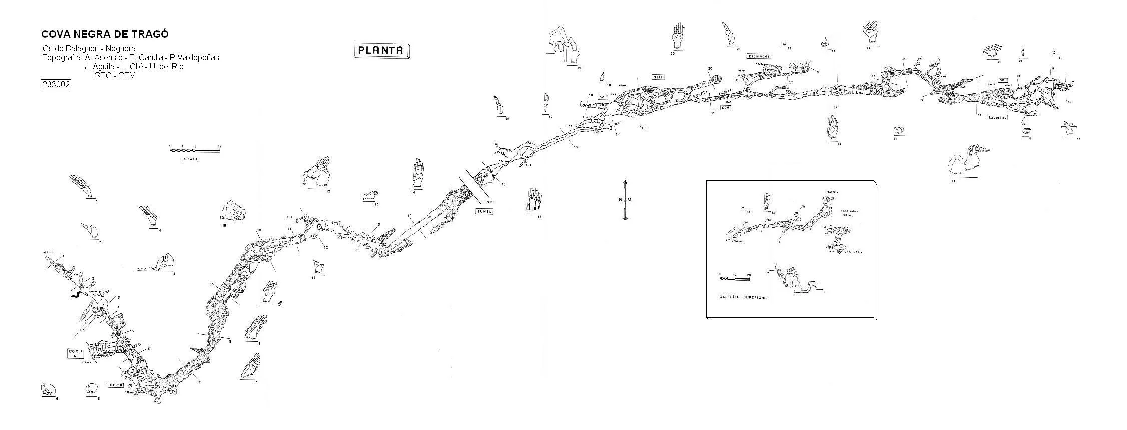
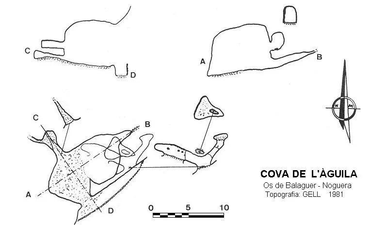
Topographic
Espeleoindex · CC BY-NC 4.0, https://creativecommons.org/licenses/by-nc/4.0/ · Image © its author.
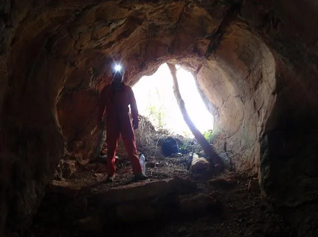
Photos
Espeleoindex · CC BY-NC 4.0, https://creativecommons.org/licenses/by-nc/4.0/ · Image © its author.
Description
Morphology
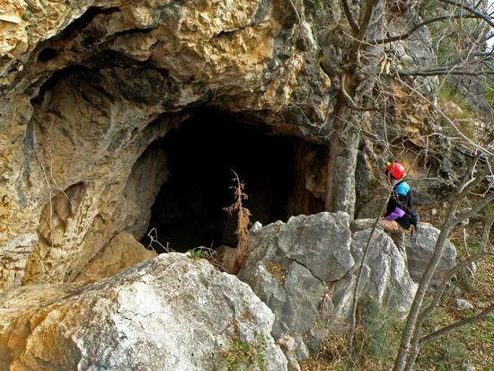
The cavity has two large entrances at different levels, the upper one being the one normally used to enter. This presents a semicircular shape with numerous blocks that partially mask it; a few metres in, a steep ramp starts on the left that connects with the lower entrance and with a gallery running NW about 45 metres long.
Back in the main gallery, this initially develops with a markedly elliptical section, with bare rock appearing. Further on, clastic debris begins to play a certain role, especially dominant at a widening of the gallery located 80 metres from the entrance. At 140 metres we already observe some wall formations of some importance, although very dry, and 30 metres further on we find the road and the tunnel that cut through the cavity. The road level is slightly above the floor of the cavity, so there are metal stairs to overcome the obstacle. From here we enter the most decorated sector of the cavity, with abundant formations that partially mask the original morphology, the floor being artificially cemented. We can observe some eroded formations.
After a left turn, the morphology changes completely; we reach a widening where an important clastic process is observed, formations no longer being abundant. The cavity continues structured along a joint that gives rise to a rigorously straight corridor, tall and narrow, about 80 metres long and with erosive forms that will no longer leave us in the rest of the cavity; parallel to it develop some small but interesting high-vaulted chambers. At the end of the joint, the cavity describes a double elbow, widening slightly. We observe that the floor is occupied by sand in the final sector of the gallery, which closes in front of a pit 4.50 metres deep excavated in the sediment, apparently artificially. Right here the “labyrinth” begins, this being a set of crawlways and small galleries of chaotic layout, about a hundred metres long.
The total length of the cavity is 1,032 metres, of which 730 are linear, and the vertical range is 78 metres (+52/-26).
Speleothems
At 140 metres we observe some wall formations of some importance, although very dry. In the most decorated sector of the cavity there are abundant formations that partially mask the original morphology. We can observe some eroded formations.
Progression
The upper entrance is the one normally used to enter. A few metres in, a steep ramp starts on the left that connects with the lower entrance and with a gallery running NW about 45 metres long. The road level is slightly above the floor of the cavity, so there are metal stairs to overcome the obstacle. In one of the high-vaulted chambers located on the left we find a 35-metre climb that brings us to an upper gallery; this climb ascends to +52 metres.
Other details
Currently, to visit the cavity, it is advisable to get in contact with one of the companies that provide tourist visits to the cavity.
History
Cavity known since time immemorial; the first mention is found through Lluís Marià Vidal in his work “Coves Prehistòriques de la Provincia de Lleyda” in 1894, information later cited by Puig i Larraz and by en Font i Sagué.
On 2 September 1910 it is visited by the biospeleologists Jeannel and Racovitza on one of their excursions that summer in the Catalan Pyrenees in search of fauna.
The Canelles dam was built between the years 1953-1959 and soon problems of water loss were detected, for which they had to plug the different water paths with cement. All these later works also affected the cave; a tunnel was built that crosses the cave 170 metres from the entrance and whose air current dries out the most immediate galleries. Part of the floor at the beginning was paved and electric light was installed in this first stretch. Apart from these interventions, the visits it received over many years by all kinds of people helped to degrade the cavity even further.
It is not until 1967 that the SIE del CE Àliga carries out the first survey of the cavity. Later new surveys are carried out: J. Ullastre in 1967, Josep Lluís Gàzquez of the GELL in 1981 and Ferran Cardona of the EC Gràcia in 1988. It is not until this century that Toni Asensio of the SEO del CE Vallirana carries out between the years 2003 and 2006 a new and complete survey of the cavity.
Bio
Coleoptera: Speonomus troglodytes Jeann. (Jeannel, 2-IX-1910) (Zariquiey, Novellas, 1934), (Victoria, 29-1-1967).
User Comments (0)
No comments yet.
Be the first to share your experience!
Registered Explorations (0)
No explorations registered yet.
Register your visit to this cave!
Bibliography
- Cardona i Oliván, ferran.(1989).-Grans Cavitats de Catalunya (Primer volum):140-144.
- Cortés i Ribelles, Manuel.(1984).- El Montsec i Muntanyes Veïnes. Centre Excursionista de Lleida.
- Escolà i Boada, Oleguer (1970).- “Catálogo Espeleológico del Montsec”. Espeleòleg (11-12):453-541. ERE del CEC. Barcelona.
- Faura i Sans, Mn.(1911).-”Excursiones espeleológicas realizadas durante el año 1910 en la región catalana”. Bol. Soc. Esp. de Historia Natural (6):355-377.
- Ferro, A.(1967).-”La cova Negra de Canyelles o de Tragó de Noguera”. EspeleoSie (1):24-25. SIE CE Àliga. Barcelona.
- Gàzquez i Pons, Josep Lluís (1995).-”Catàleg Espeleològic de la Noguera”. Grallera (3-4):1-90.GELL-CE Lleida.
- GELL.(1984).- “Fitxer de cavitats. Cova Negra de Tragó de Noguera o de Pi Negre”. Grallera (1):46-47. GELL – CE Lleida.
- Jeannel, R. Et Racovitza, E.G.(1912).-”Enumeratión des grottes visitées, 1909-1911”. (4ª série) Biospéologica (24):501-667.
- Ullastre, Juan. (1968).-”Cova Negra de Tragó de Noguera”. Geo y Bio Karst. (16-17):26-31. Barcelona.
- Vidal, Lluis Marià (1894).-“Coves Prehistòriques de la Provincia de Lleyda”. Butlletí del Centre Excursionista de Catalunya.(separata extreta del nº 13):1-31. C.E. Catalunya. Barcelona
- Fotografies extretes del blog “Espeleobloc”, post dels dies 3 i 4 de febrer de 2011.(www.espeleoblog.blogspot.com.es)
- Topografia completa i actualitzada facilitada per Toni Asensio (SEO – CE Vallirana)
Nearby caves
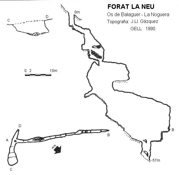
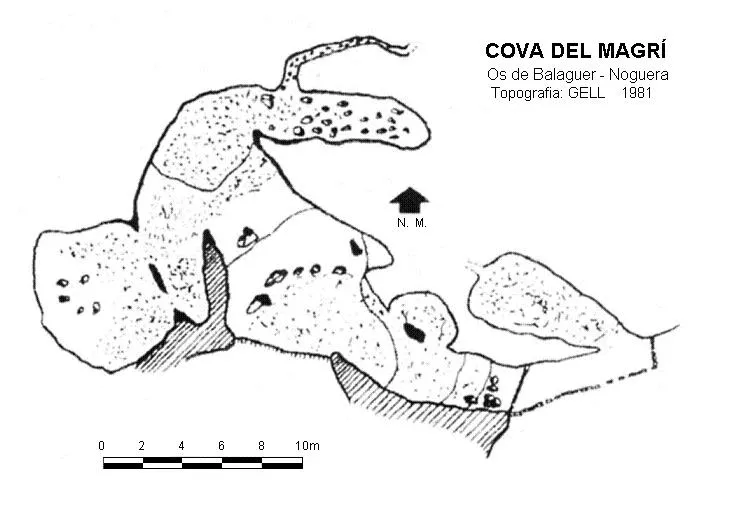


Source: Espeleoindex (espeleoindex.com), modified. CC BY-NC 4.0, https://creativecommons.org/licenses/by-nc/4.0/