
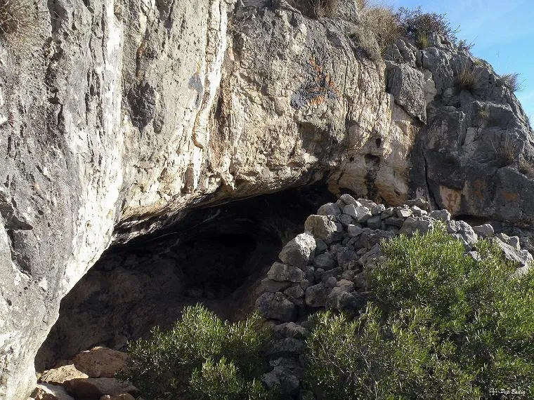
Cova Grossa
Large walled rock shelter in the Montsià (Alcanar), with remains of a dry-stone wall and contemporary “rock paintings”; cited by E. Bayerri in 1934.
EspeleoWorld
Cova Grossa
Large walled rock shelter in the Montsià (Alcanar), with remains of a dry-stone wall and contemporary “rock paintings”; cited by E. Bayerri in 1934.
Alcanar · Montsià
Length: 5 m
Updated record
https://espeleoworld.com/en/c/cova-grossa
Information can change. Always verify coordinates, access, weather, and cave conditions before setting out.
Large walled rock shelter in the Montsià (Alcanar), with remains of a dry-stone wall and contemporary “rock paintings”; cited by E. Bayerri in 1934.
Photos
Espeleoindex · CC BY-NC 4.0, https://creativecommons.org/licenses/by-nc/4.0/ · Image © its author.
Description
Morphology
It is a large rock shelter, with the remains of a dry-stone wall in front that was possibly used in other times to shelter some livestock.
No topography is available and the exact dimensions are not known.
Speleothems
The amusing touch are the “rock paintings”, quite contemporary, that can be observed there.
History
Known since time immemorial. It is already cited by E. Bayerri in his work: Historia de Tortosa y su comarca Vol. 2 (1934).
User Comments (0)
No comments yet.
Be the first to share your experience!
Registered Explorations (0)
No explorations registered yet.
Register your visit to this cave!
Bibliography
- Totes les dades i fotografies han estat extretes del blog: senderes.blogspot (de Pep Badia, la Ràpita)
Nearby caves
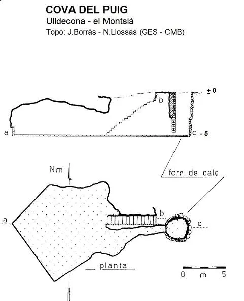

Source: Espeleoindex (espeleoindex.com), modified. CC BY-NC 4.0, https://creativecommons.org/licenses/by-nc/4.0/