
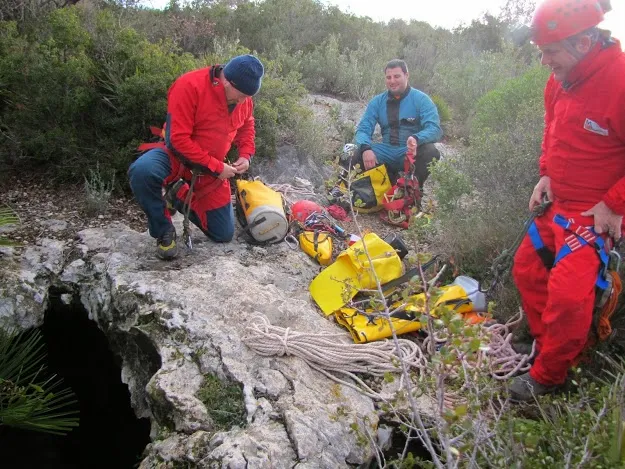
Avenc de les Canals
Small pit about 20 m deep in Ulldecona (Montsià), located a few metres below the western side of the summit of a small hill of the Serra de l'Avenc, 154 m, to the SSE of the Molí de les Canals, almost on the dividing line between the municipalities of Ulldecona and Alcanar.
EspeleoWorld
Avenc de les Canals
Small pit about 20 m deep in Ulldecona (Montsià), located a few metres below the western side of the summit of a small hill of the Serra de l'Avenc, 154 m, to the SSE of the Molí de les Canals, almost on the dividing line between the municipalities of Ulldecona and Alcanar.
Ulldecona · Montsià
Length: 80 m · Depth: 20 m
Updated record
https://espeleoworld.com/en/c/avenc-de-les-canals
Information can change. Always verify coordinates, access, weather, and cave conditions before setting out.
Small pit about 20 m deep in Ulldecona (Montsià), located a few metres below the western side of the summit of a small hill of the Serra de l'Avenc, 154 m, to the SSE of the Molí de les Canals, almost on the dividing line between the municipalities of Ulldecona and Alcanar.
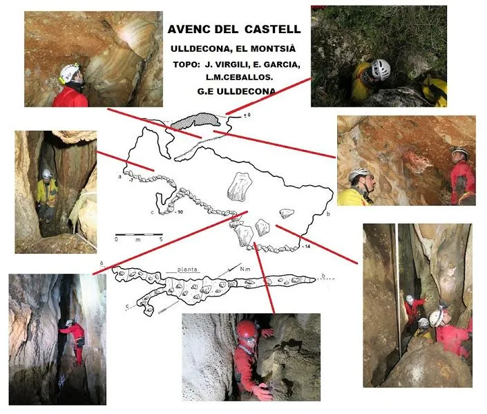
Topographic
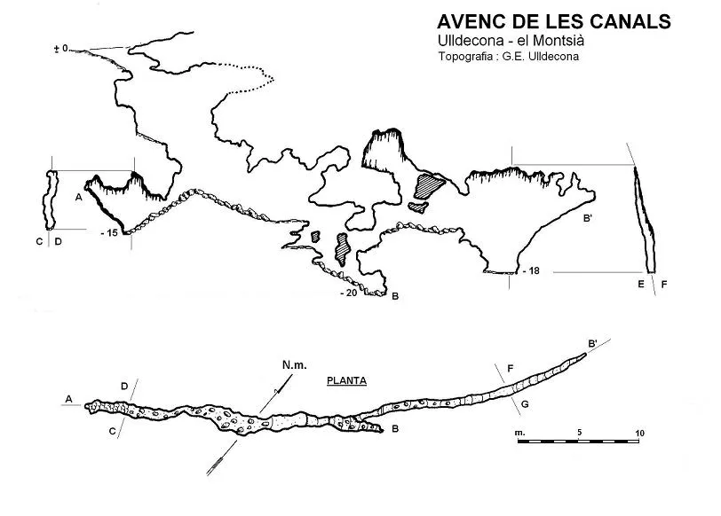
Espeleoindex · CC BY-NC 4.0, https://creativecommons.org/licenses/by-nc/4.0/ · Image © its author.
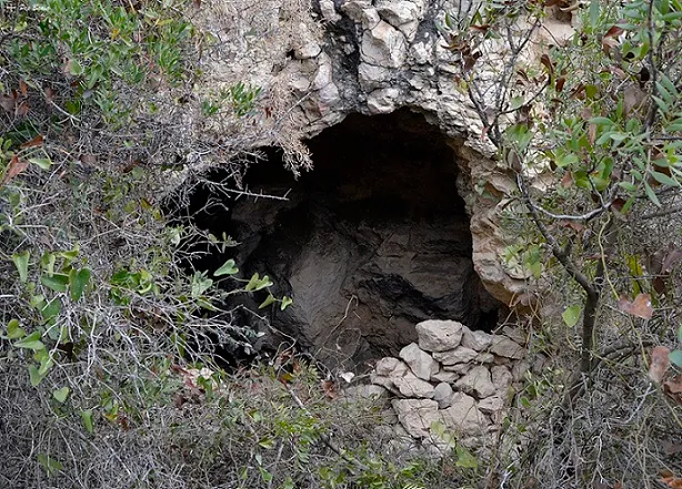
Photos
Espeleoindex · CC BY-NC 4.0, https://creativecommons.org/licenses/by-nc/4.0/ · Image © its author.
Description
Morphology
The entrance opens into a slope followed by a 5-metre drop, followed by another of 3 metres until reaching the base of a narrow, straight gallery that slopes towards both ends. Continuing towards the NE, the gallery narrows even more and after some small drops one reaches the point of maximum depth (elevation – 20), where the cavity appears to end.
But shortly before reaching this last point, one can climb a couple of metres and access a narrow passage that penetrates into a new gallery with characteristics very similar to the previous one.
Cavity structured along a NE-SW joint widened by local infiltrations.
Speleothems
They subsequently gave rise to some very localised lithogenic processes.
Progression
The entrance opens into a slope followed by a 5-metre drop, followed by another of 3 metres until reaching the base of a narrow, straight gallery that slopes towards both ends. Continuing towards the NE, the gallery narrows even more and after some small drops one reaches the point of maximum depth (elevation – 20), where the cavity appears to end.
But shortly before reaching this last point, one can climb a couple of metres and access a narrow passage that penetrates into a new gallery with characteristics very similar to the previous one.
History
The first news we have of this pit dates from Easter 1959, when members of the GES – CMB carried out a campaign in the Montsià area and, among other cavities, explored the Avenc de les Canals, but the results were never made known.
Members of the Grup Espeleològic d'Ulldecona explored it towards the end of the 1960s or the beginning of the 1970s.
During 1980-83, the SIE del CEA carried out various exploration trips in the Montsià – Godall area, among them the Avenc de les Canals was explored and surveyed down to the point of maximum depth, but the upper gallery was not seen.
Bio
Diplura
- Gollumjapyx smeagol (Sendra & Ortuño, 2006)
User Comments (0)
No comments yet.
Be the first to share your experience!
Registered Explorations (0)
No explorations registered yet.
Register your visit to this cave!
Bibliography
- No tenim constància de cap cita bibliogràfica
- Dades inèdites del Grup Espeleològic d'Ulldecona
- Fotografies facilitades per l'Espeleo Club Tortosa
- Revisió de coordenades facilitades per Julio Serrano (SIE – CEA)
- Dades Biospeleològiques facilitades per Floren Fadrique.
Nearby caves


Source: Espeleoindex (espeleoindex.com), modified. CC BY-NC 4.0, https://creativecommons.org/licenses/by-nc/4.0/