
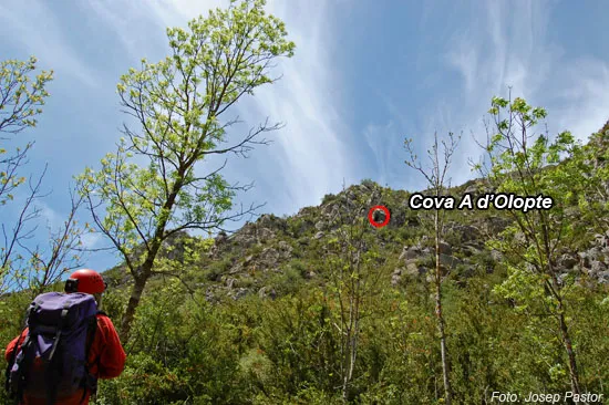
Cova Gran d'Olopte
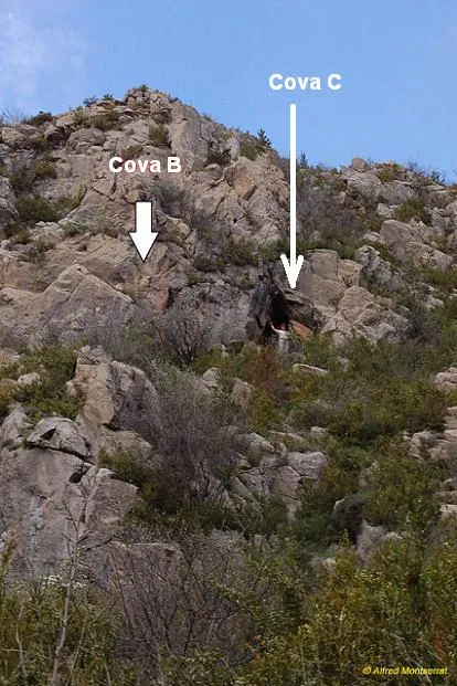
Cave with a passage length of 232 m near Olopte (Isòvol), with two entrances about 7 metres apart. An ancient fossilised drainage conduit, with erosion-corrosion forms and scarce lithogenic forms.
EspeleoWorld
Cova Gran d'Olopte
Cave with a passage length of 232 m near Olopte (Isòvol), with two entrances about 7 metres apart. An ancient fossilised drainage conduit, with erosion-corrosion forms and scarce lithogenic forms.
Isòvol · Cerdanya
Length: 232 m
Updated record
https://espeleoworld.com/en/c/cova-gran-d-olopte
Information can change. Always verify coordinates, access, weather, and cave conditions before setting out.
Cave with a passage length of 232 m near Olopte (Isòvol), with two entrances about 7 metres apart. An ancient fossilised drainage conduit, with erosion-corrosion forms and scarce lithogenic forms.
Topographic
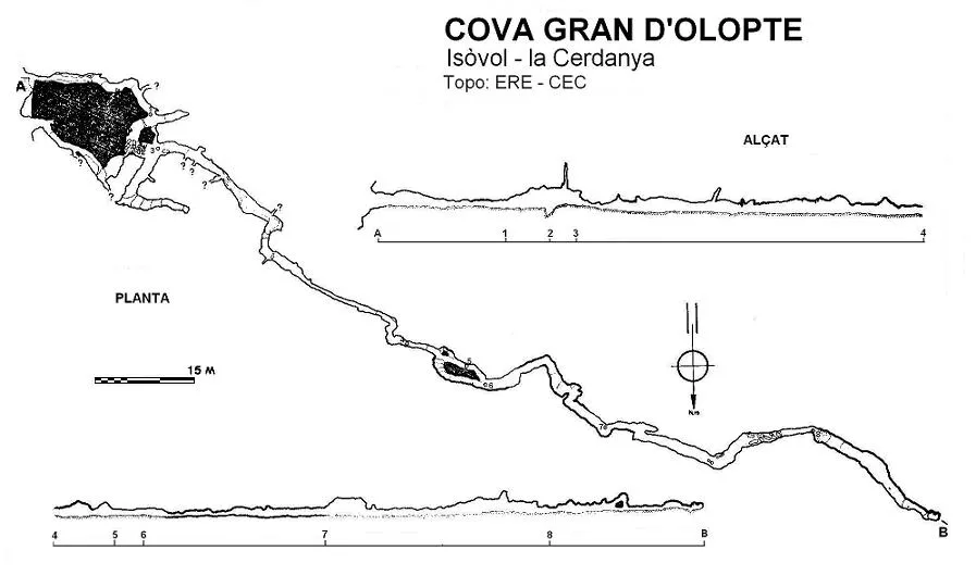
Espeleoindex · CC BY-NC 4.0, https://creativecommons.org/licenses/by-nc/4.0/ · Image © its author.
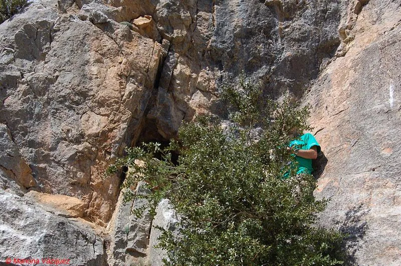
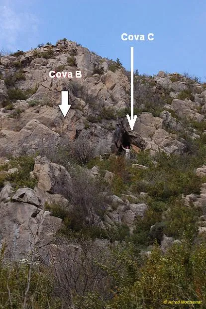
Photos
Espeleoindex · CC BY-NC 4.0, https://creativecommons.org/licenses/by-nc/4.0/ · Image © its author.
Description
Morphology
The upper entrance, 2.5 x 1.5 metres, is ogival in shape and gives access to a gallery developed along an O10S joint with marked erosion-corrosion forms. The ceiling gradually lowers, trending more towards the N, and leads, through a narrow passage, into a gallery of larger proportions (2.5 metres in diameter), in a N direction which, after running in a zigzag, forming three bends, ends up oriented to the W, choked by sediments. The main gallery consists of a conduit 150 metres long with an average section of 1.5 metres in diameter, with some elevated points and descending towards the end, with erosion-corrosion morphology. Clastic processes are only of relative importance at a couple of points in the cavity.
Speleothems
The lithogenic forms are scarce and only appreciable in the middle and final stretch of the gallery.
Hydrology
An ancient drainage conduit, completely fossilised, that carried water through a main tube with very few lateral inputs.
Progression
Beforehand a ramp gallery leads off that communicates with the lower entrance through two points: one is impassable and the other, although very narrow, communicates directly with the gallery of the lower entrance.
Other details
An interesting cave with a passage length of 232 m near Olopte (Isòvol).
History
Although the coves d'Olopte have been known since time immemorial and are mentioned very much in passing in some excursionist and archaeological works, it is not until the campaigns that members of the ERE – CEC carried out systematically from the year 1966 to 1970 in different areas of Cerdanya that they were widely publicised.
The coves d'Olopte have been the subject of various archaeological campaigns in which diverse materials have been collected, from the Neolithic and Bronze Age up to medieval times.
Bio
Coleoptera
Troglophyes riberai Español
User Comments (0)
No comments yet.
Be the first to share your experience!
Registered Explorations (0)
No explorations registered yet.
Register your visit to this cave!
Bibliography
- Borràs, J.; Miñarro,JM.; Talavera, F: (1978).-Catàleg espeleològic de Catalunya. Vol. 1 (l'Alt Urgell i la Cerdanya): 166. Ed. Políglota. Barcelona.
- Canals, M.; Ribera, C. Viñas, R. (1970).-La Fou de Bor i cavitats de l'alta vall del Segre, 98 pp. Centre Excursionista de Catalunya – Ed. Montblanch.
- Valles, Jordi de (2009).-”Berguedà, Cerdanya, Garrotxa, Ripollès”. Catàleg Espeleològic de Catalunya (vol.3):1-381. EC Gràcia/FCE.
- Coordenades i fotografies extretes del blog: Espeleobloc (post del 24-5-2011).
- Situació, revisió coordenades i altres fotos facilitades per Juli Serrano (SIE-CEA) i Francesc Rubinat (ERE-CEC). Actualització octubre de 2021.
Nearby caves



Source: Espeleoindex (espeleoindex.com), modified. CC BY-NC 4.0, https://creativecommons.org/licenses/by-nc/4.0/