

Cova del Torrent de Can Verdeguer
Small cave at Can Verdeguer (Mediona), slightly descending, with a larger, habitable chamber and a small step at the back.
EspeleoWorld
Cova del Torrent de Can Verdeguer
Small cave at Can Verdeguer (Mediona), slightly descending, with a larger, habitable chamber and a small step at the back.
Mediona · Alt Penedès
Length: 7 m · Depth: 2 m
Updated record
https://espeleoworld.com/en/c/cova-del-torrent-de-can-verdeguer
Information can change. Always verify coordinates, access, weather, and cave conditions before setting out.
Small cave at Can Verdeguer (Mediona), slightly descending, with a larger, habitable chamber and a small step at the back.
Topographic


Espeleoindex · CC BY-NC 4.0, https://creativecommons.org/licenses/by-nc/4.0/ · Image © its author.
Photos

Espeleoindex · CC BY-NC 4.0, https://creativecommons.org/licenses/by-nc/4.0/ · Image © its author.
Description
Morphology
Small cave, slightly descending, in which the entrance does not allow access on foot until reaching a larger, habitable chamber.
The back of the cavity has a small step in which the greatest depth and extent of the cavity is reached; we can also observe two narrow superimposed conduits at the entrance and below the step which, due to their dimensions, are not passable.
History
Unpublished cavity
User Comments (0)
No comments yet.
Be the first to share your experience!
Registered Explorations (0)
No explorations registered yet.
Register your visit to this cave!
Bibliography
- Totes les dades, topografia i fotografies han estat facilitades per Montse Mañosa i Jordi Navarro (Centre Excursionista de Castellar del Vallès).
Nearby caves
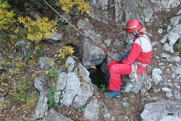
Avenc Nº0 de Can Verdeguer
0.1 km · S
Mediona (Alt Penedès)
2 topo.3 photos
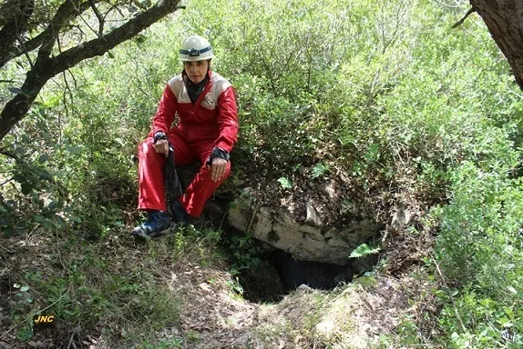
Avenc Nº6 de Can Verdeguer
0.1 km · S
Mediona (Alt Penedès)
2 topo.3 photos
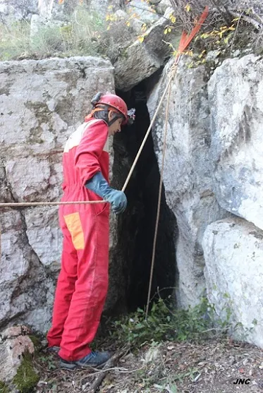
Avenc Nº5 de Can Verdeguer
0.1 km · S
Mediona (Alt Penedès)
2 topo.4 photos
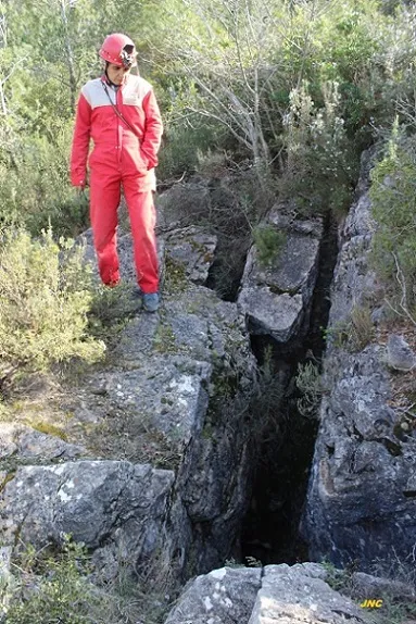
Avenc Nº1 de Can Verdeguer
0.2 km · S
Mediona (Alt Penedès)
2 topo.5 photos
Source: Espeleoindex (espeleoindex.com), modified. CC BY-NC 4.0, https://creativecommons.org/licenses/by-nc/4.0/