
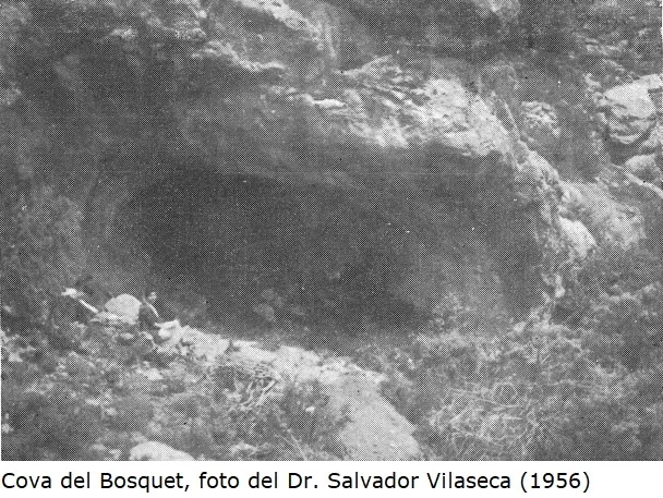
Cova del Bosquet
Cova als Solans de Cisterer, Mont-ral.
EspeleoWorld
Cova del Bosquet
Cova als Solans de Cisterer, Mont-ral.
Mont-ral · Alt Camp
Length: 17 m · Depth: 1 m
Updated record
https://espeleoworld.com/en/c/cova-del-bosquet
Information can change. Always verify coordinates, access, weather, and cave conditions before setting out.
Cova als Solans de Cisterer, Mont-ral, located in June 1956 by Albert Prunera de Reus and Modesto Llord, with excavations published in Zephyirus.
Topographic
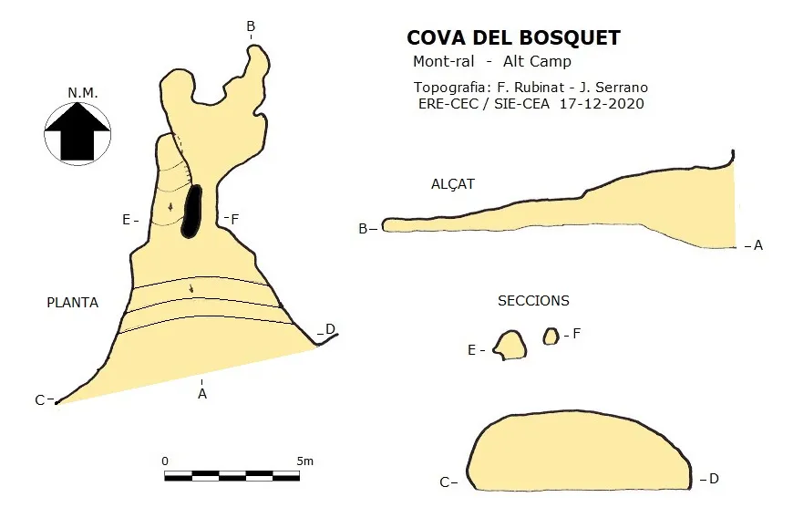
Espeleoindex · CC BY-NC 4.0, https://creativecommons.org/licenses/by-nc/4.0/ · Image © its author.
Photos
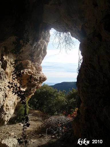
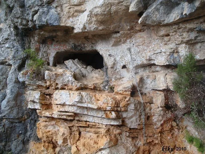
Espeleoindex · CC BY-NC 4.0, https://creativecommons.org/licenses/by-nc/4.0/ · Image © its author.
Description
Morphology
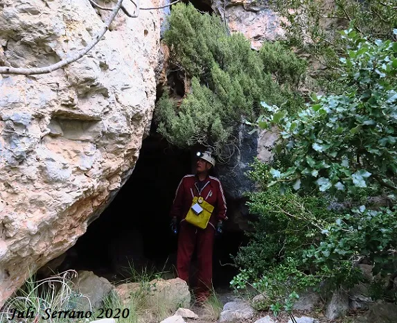
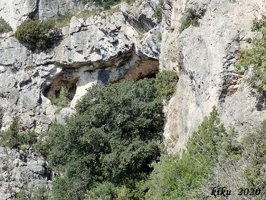
Mouth of 8.5x2.89 meters that gives way to a gallery of about 5 meters in length. On the back wall we find two holes that connect inside, giving access to a small room with a low ceiling; the floor is completely disturbed.
History
Located in June 1956 by Albert Prunera de Reus and Modesto Llord (nicknamed Carboner) from la Febró; they made the first prospection finding an idol-plaque.
During the months of June and July the excavations are carried out in the cave, in which participate, in addition to the two previously mentioned, Dr. Salvador Vilaseca, his daughter Lluïsa Vilaseca and José Mercader of the Centre de Lectura de Reus. The results of the excavations appear published that same year in Zephyirus.
Since then there had been no further news of the cova del Bosquet, despite the unsuccessful search for the cave by quite diverse people. Finally, by a stroke of luck, it is located when in reality another cave was being sought, and confirming that the cova del Bosquet had not been found due to the fact that all the data on its location given by Salvador Vilaseca were erroneous, except for the height. Initially he placed it 2 kilometers from Bosquet, between the Punta Moliner and the Racó de Sant Pere, when in reality it is 750 meters from Bosquet and just South of the cova del Codó, 80 meters below it. In addition, the North of the sketch he made has an error of 180 degrees.
We ignore the reasons he had for giving such biased information; perhaps he intended to return to continue the excavation and did not want looters to appear. In the article he already mentions this fact in reference to the cova de la Moneda, but that is another story.
User Comments (0)
No comments yet.
Be the first to share your experience!
Registered Explorations (0)
No explorations registered yet.
Register your visit to this cave!
Bibliography
- Borràs, J.; Miñarro,JM.; Talavera, F. (1978).- Catàleg Espeleològic de Catalunya. Vol. 2 (l'Alt Camp, la Conca de Barberà,el Baix Penedès i el Tarragonès): 246 pp. Ed. Poliglota. Barcelona.
- Perea Simón, Eugeni (1994).-La geografia i la història de Mont-ral a través de la seva onomàstica. 1-331. edició digital 2009. Societat d'onomàstica/ICGC.
- Vilaseca, Salvador.; Prunera, Albert. (1956).-”La cueva del Bosquet en los Motllats, Sierra de Prades”. Zephyrus (vol.7):207-215. U. Salamanca.
- Dades, topografia, coordenades, situació i fotografies, facilitades per Juli Serrano (SIE-CEA) i Francesc Rubinat (ERE-CEC). Desembre de 2020.
Nearby caves


Source: Espeleoindex (espeleoindex.com), modified. CC BY-NC 4.0, https://creativecommons.org/licenses/by-nc/4.0/