
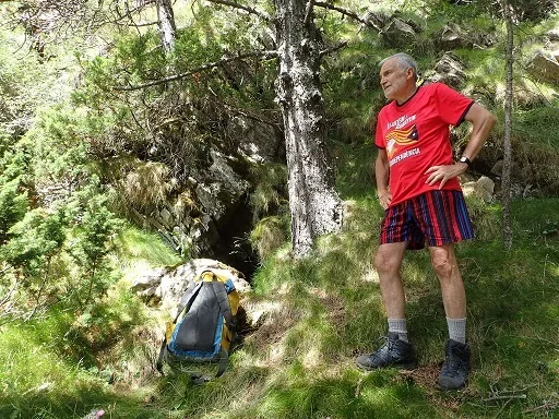
Cova de Santufa
A 50 m long cave in the torrent de Fornàs (Aristot, el Pont de Bar), with a large 12X15 metre chamber and a depth of -20 metres.
EspeleoWorld
Cova de Santufa
A 50 m long cave in the torrent de Fornàs (Aristot, el Pont de Bar), with a large 12X15 metre chamber and a depth of -20 metres.
Pont de Bar, El · Alt Urgell
Length: 50 m · Depth: 20 m
Updated record
https://espeleoworld.com/en/c/cova-de-santufa
Information can change. Always verify coordinates, access, weather, and cave conditions before setting out.
A 50 m long cave in the torrent de Fornàs (Aristot, el Pont de Bar), with a large 12X15 metre chamber and a depth of -20 metres.
Topographic
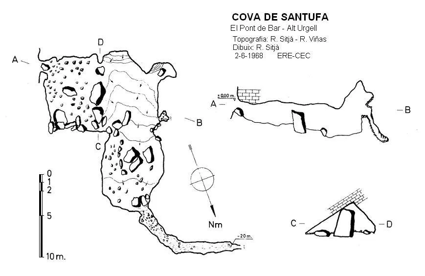

Espeleoindex · CC BY-NC 4.0, https://creativecommons.org/licenses/by-nc/4.0/ · Image © its author.
Photos

Espeleoindex · CC BY-NC 4.0, https://creativecommons.org/licenses/by-nc/4.0/ · Image © its author.
Description
Morphology
The cavity consists of a large 12X15 metre chamber, at the end of which there is a small gallery that, with a steep slope, reaches a depth of -20 metres. At one end of the chamber another gallery of short dimensions opens; to reach it one must climb a three metre wall.
Speleothems
At one end of the chamber another gallery of short dimensions opens, with abundant lithogenic processes.
Progression
There is a cairn marking the descent line. We head straight towards the bottom of the torrent d'Aristot until we find a fallen monumental pine, with a path passing underneath it. From here cairns have been left. Twenty metres below the pine one must turn 90º to the left and a few metres further on we find the cavity, which is beneath a grassy rock spur.
History
The first known reference to this cavity is from the exploration carried out in 1966 by the ERE of the CEC. They returned in 1968, when they carried out the survey. That same year it was also explored and surveyed by Pere Busquets (q.e.p.r.), of the ACE Mataró.
For more than 50 years there had been no further news of the cavity, although it seems it had been visited by some hikers, but there was no written record.
After various failed attempts to locate it by members of the espeleodijous group, finally in July 2021 they found it and a few weeks later they visited it and georeferenced it correctly.
Toponymy: It is not very clear that the toponym Santufa is entirely correct. According to our colleague Dani Ferrer (ERE-CEC), some people from the area call it Cova de Tufa.
User Comments (0)
No comments yet.
Be the first to share your experience!
Registered Explorations (0)
No explorations registered yet.
Register your visit to this cave!
Bibliography
- Borràs, J. ;Miñarro, J.M.;Talavera, F.(1978).-”l'Alt Urgell i la Cerdanya”. Catàleg Espeleològic de Catalunya (vol.1):48-49. Ed. Políglota. Barcelona.
- Busquets, P.(1968).-”Expedició Setmana Santa”. Butll. Agrup. Cient. Exc. Mataró (6):5-7. ACE Mataró.
- Busquets, P.(1968).-”Resultats de l'expedició espeleològica al Cadí”. Butll. Agrup. Cient. Exc. Mataró (8):16-20. ACE Mataró.
- Canals, M.;Ribera, C.;i Viñas, R.(1970).-La Fou de Bor i cavitats de l'alta Vall del Segre. Ed. Montblanc.
- Viñas,R.; Ribera, C. (1969).-”Espeleología en la Cerdanya”. Montaña (120-124):332-338. CE Catalunya.
- Dades de situació, coordenades i fotografies extretes del web: espeleodijous (Apunt del 12-8-2021)
Nearby caves
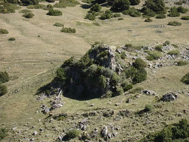
Forat de l'Orri d'aristot
0.4 km · N
Pont de Bar, El (Alt Urgell)
1 topo.4 photos
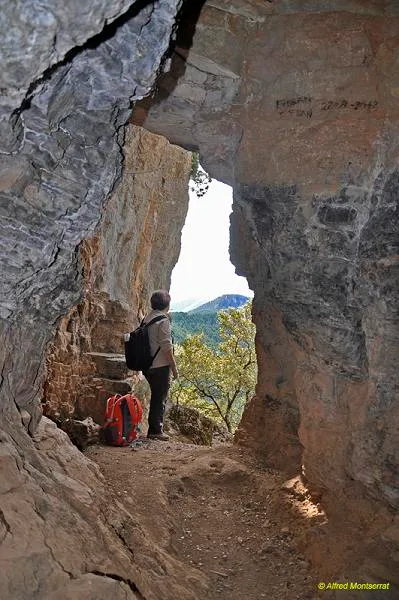
Cova de les Encantades
6.3 km · S
Cava (Alt Urgell)
2 topo.10 photos
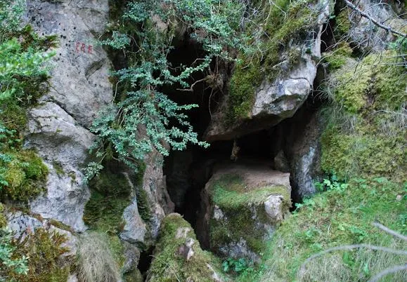
Avenc de la Cabana d'en Garraba
6.4 km · S
Pont de Bar, El (Alt Urgell)
1 topo.1 photos
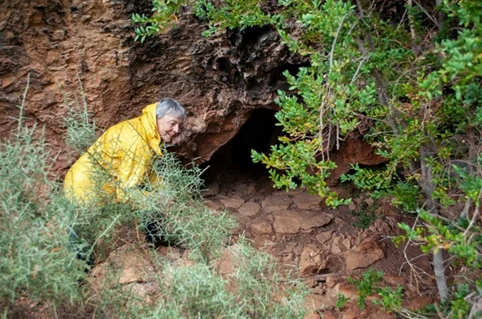
Tuta Petita de Menús
6.9 km · SE
Montellà i Martinet (Cerdanya)
2 topo.4 photos
Source: Espeleoindex (espeleoindex.com), modified. CC BY-NC 4.0, https://creativecommons.org/licenses/by-nc/4.0/