
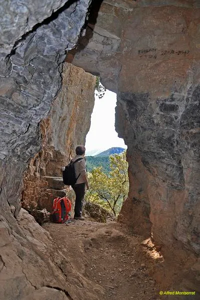
Cova de les Encantades
Cova de 228 m. de recorregut a Cava (Alt Urgell), i a prop de Toloriu.
EspeleoWorld
Cova de les Encantades
Cova de 228 m. de recorregut a Cava (Alt Urgell), i a prop de Toloriu.
Cava · Alt Urgell
Length: 228 m · Depth: 22 m
Updated record
https://espeleoworld.com/en/c/cova-de-les-encantades
Information can change. Always verify coordinates, access, weather, and cave conditions before setting out.
Cave with a passage of 228 m in Cava (Alt Urgell), near Toloriu. First record on 23 August 1910 by Jeannel and Racovitza with O. Mengel. Total elevation change of 22 m (+ 13; - 9).
Topographic
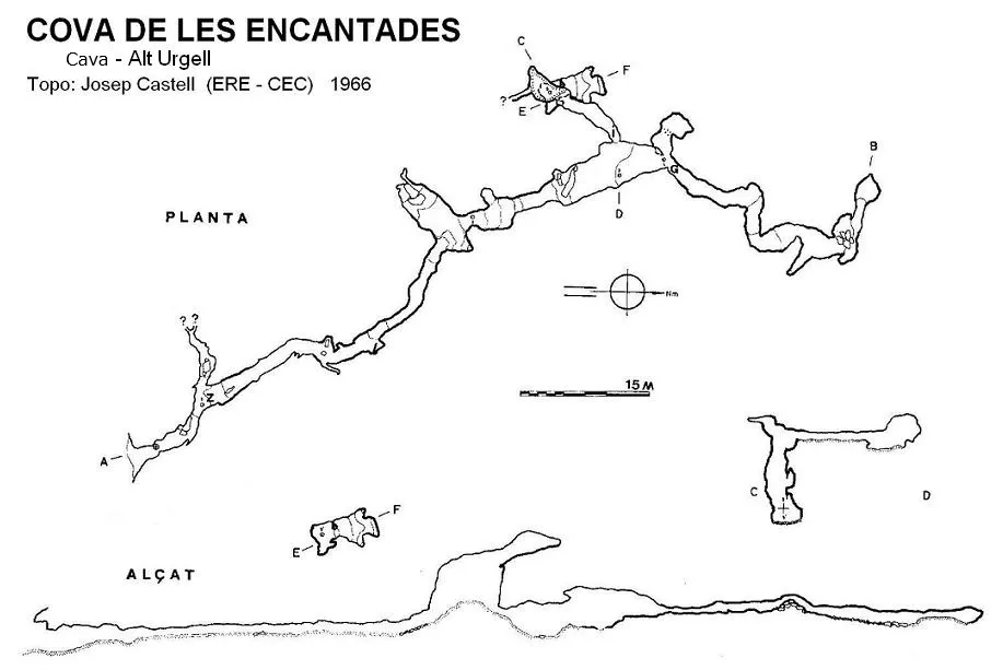
Espeleoindex · CC BY-NC 4.0, https://creativecommons.org/licenses/by-nc/4.0/ · Image © its author.
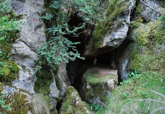
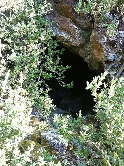
Photos
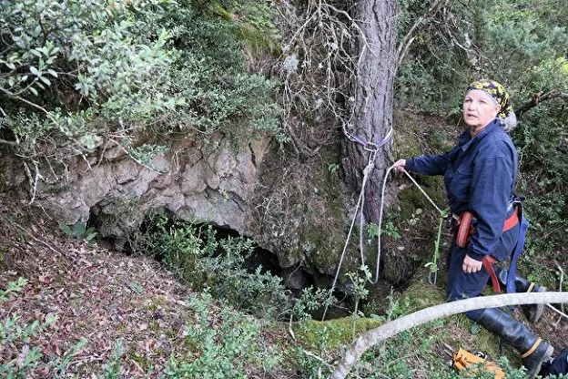
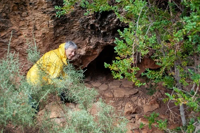
Espeleoindex · CC BY-NC 4.0, https://creativecommons.org/licenses/by-nc/4.0/ · Image © its author.
Description
Morphology
The entrance gallery, which is also the main gallery, runs in the direction N20O and from it, along its course, various less important branches emerge.
At 50 metres of passage you reach a chamber 7 metres high by 8 wide and 11 long. This chamber communicates via a small gallery with another of similar characteristics, and both are affected by clastic processes.
The gallery continues with good dimensions and further on, on the left, a new branch appears which after a short passage leads to a shaft 9 metres deep.
Back in the main gallery, in the widest and highest stretch, you continue a few more metres and the ceiling suddenly lowers and the gallery continues in this manner until the end after making a couple of zigzags.
The total elevation change is 22 metres (+ 13; - 9).
History
The first record of this cavity is due to the biospeleologists Jeannel and Racovitza, accompanied by O. Mengel, who visited it on 23 August 1910 for the purpose of collecting fauna, locating a new beetle that they dedicated to their companion: Speonomus mengeli Jeannel.
In 1935, Antoni Bonet (CEC) paid a visit to the cave and found remains of pottery and bones. He already mentions signs of earlier excavations.
In October 1954 an official campaign of study and excavation began by members of the GES - CMB and other collaborators. In the study published in the journal Speleon a first survey appears that seems not to fit very well with the one later made by Josep Castell.
In 1966, the ERE - CEC began a new campaign, basically focused on archaeology and biospeleology, throughout this sector of the Alt Urgell and the Cerdanya, and this cavity was also studied.
Bio
Coleoptera:
Speonomus mengeli Jeannel
Geotrechus seijasi
Diplopoda:
Scutogona muticum
User Comments (0)
No comments yet.
Be the first to share your experience!
Registered Explorations (0)
No explorations registered yet.
Register your visit to this cave!
Bibliography
Boixadera, E.; Suñé, E.; Vicente, J. (1955).-'La cueva de 'les Encantades' Toloriu (Lérida)'. Speleon VI (1-2): 21-36. Universidad de Oviedo.
Bonet i Isart, Antoni (1935).-'Unes descobertes prehistòriques'. Butlletí del Centre Excursionista de Catalunya (486): 417-422. Barcelona.
Borràs, J.; Miñarro, J.M.; Talavera, F.(1978).-'Alt Urgell i la Cerdanya' CatàlegEspeleològic de Catalunya (Vol.2):1-186. Ed. Políglota. Barcelona.
Canals, M; Ribera,C. Viñas, R.(1970).-La Fou de Bor i cavitats de l'Alta Vall del Segre. Ed. Montblanc.
Faura i Sans, Mn.(1911).-'Excursiones espeleológicas realizadas durante el año 1910 en la región Catalana'. Boletin Real Soc. Esp. Hist. Natural (11):354-376.
Valles, J. de (2009).- Catàleg Espeleològic de Catalunya. Vol. 2: 384 pp. Espeleo Club de Gràcia / Federació Catalana d'Espeleologia. Barcelona.
Situació extreta de www.toloriu.com
Revisió de coordenades i fotografies boca facilitades per Alfred Montserrat (ERE-CEC) (2015)
Fotografies interiors extretes del web: espeleodijous.cat corresponents a la sortida del 28-8-2025
Nearby caves


Source: Espeleoindex (espeleoindex.com), modified. CC BY-NC 4.0, https://creativecommons.org/licenses/by-nc/4.0/