
Cova de Rodón
Cova d'interès arqueològic a Vilaverd.
EspeleoWorld
Cova de Rodón
Cova d'interès arqueològic a Vilaverd.
Vilaverd · Conca de Barberà
Length: 18 m · Depth: 2 m
Updated record
https://espeleoworld.com/en/c/cova-de-rodon
Information can change. Always verify coordinates, access, weather, and cave conditions before setting out.
Cave of archaeological interest in Vilaverd, formed by a fissure and a cave, excavated by Dr. Salvador Vilaseca.
Topographic
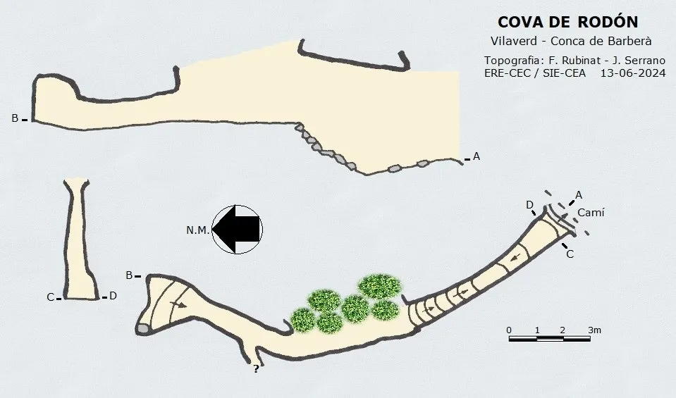
Espeleoindex · CC BY-NC 4.0, https://creativecommons.org/licenses/by-nc/4.0/ · Image © its author.
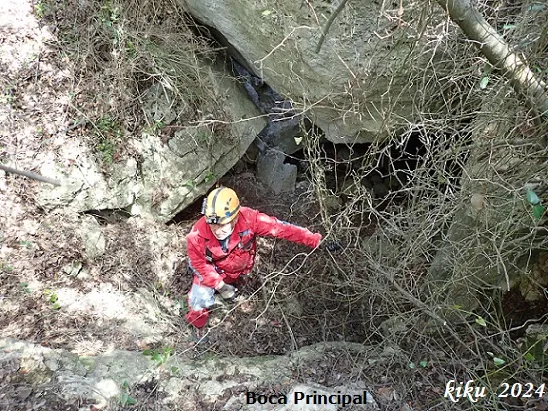
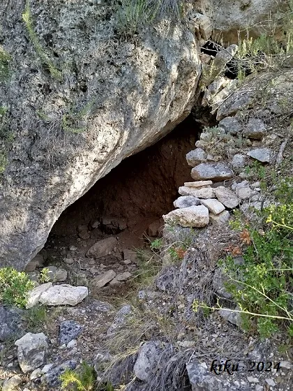
Photos
Espeleoindex · CC BY-NC 4.0, https://creativecommons.org/licenses/by-nc/4.0/ · Image © its author.
Description
Morphology
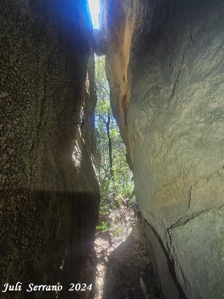
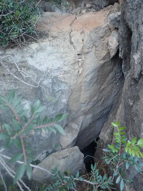
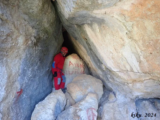
In reality it is a matter of two different phenomena: the first stretch is a fissure that opens onto an open space in the forest, while the continuation is a cave that has nothing to do with the initial stretch, but because to access the final part one must do so through this access, in his day when Dr. Vilaseca published it, he catalogued it all as one and the same complex.
An opening between two vertical rocks a little more than four metres high by one wide gives way to a gallery 7 metres long; this at the start descends and then immediately climbs steeply and comes out to the exterior, finding that on the left the rock wall continues while on the right a space opens that leads to the forest. Following the left wall at 4.5 metres we find a new passage of smaller dimensions that after 6 metres ends in a small chamber.
Hydrology
The Brugent river, at this point almost always dry, must be crossed to follow the path in the direction of the cliff.
Progression
On the right side of the road there is a path that goes down to the Brugent river; you must cross it and follow the path in the direction of the cliff. Soon we will find a crossroads; we will follow the one on the right that goes to the cova Cartanyà and to la Riba. After about 200 metres, next to the path and on the left of it, we will find the cavity.
History
It was discovered at the beginning of the 40s decade of the last century, by the young hiker from Reus Ramon Rodón and later excavated by Dr. Salvador Vilaseca. In the final part and covered by a slab a sepulchral chamber was found and almost superficially a single corpse, probably female, and various ceramic grave goods.
User Comments (0)
No comments yet.
Be the first to share your experience!
Registered Explorations (0)
No explorations registered yet.
Register your visit to this cave!
Bibliography
- Vilaseca, Salvador (1942).-“Mas cuevas y enterramientos prehistóricos en el bajo Brugent (Término de Vilavert, provincia de Tarragona)”. Ampurias (vol.IV):205-213.
- Dades, coordenades topografia i fotografies facilitades per Juli Serrano (SIE-CEA) i Francesc Rubinat (ERE-CEC). Juny de 2024.
Nearby caves


Source: Espeleoindex (espeleoindex.com), modified. CC BY-NC 4.0, https://creativecommons.org/licenses/by-nc/4.0/