
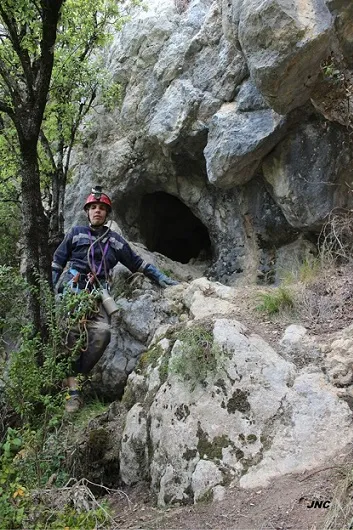
Cova de Rocaterçana
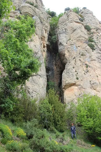
Cova de 83 metres de recorregut a la base del cingle de la Roca Terçana (Capolat).
EspeleoWorld
Cova de Rocaterçana
Cova de 83 metres de recorregut a la base del cingle de la Roca Terçana (Capolat).
Capolat · Berguedà
Length: 83 m · Depth: 16 m
Updated record
https://espeleoworld.com/en/c/cova-de-rocatercana
Information can change. Always verify coordinates, access, weather, and cave conditions before setting out.
Cave with 83 metres of passage at the base of the cingle de la Roca Terçana, in Capolat. Discovered and explored in 1977 by the Grup Autònom de Manresa. Bronze Age site.
Topographic
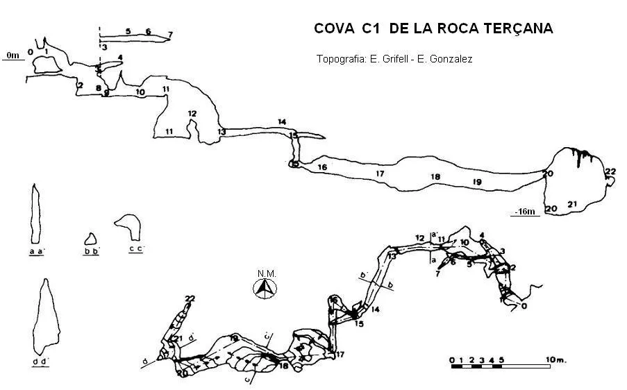
Espeleoindex · CC BY-NC 4.0, https://creativecommons.org/licenses/by-nc/4.0/ · Image © its author.
Photos
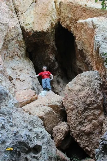
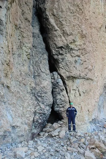
Espeleoindex · CC BY-NC 4.0, https://creativecommons.org/licenses/by-nc/4.0/ · Image © its author.
Description
Morphology
Cave with 83 metres of passage at the base of the cingle de la Roca Terçana (Capolat).
Progression
At the entrance we find a lower access that converges inside, where we find a small shaft that gives access to the lower zone. Continuing along the upper level we find on the left a passage that ends after a few metres. Once down the shaft, we find a series of galleries and chambers linked by small shafts, the largest of which does not exceed 5 metres.
History
Discovered and explored around the beginning of 1977 by members of the Grup Autònom de Manresa of the Institució Catalana d'Història Natural.
This cavity had always been wrongly catalogued in the municipality of Castellar del Riu; the municipal boundary line passes along the upper part of the cingle de Rocaterçana, therefore the whole South wall belongs to the municipality of Capolat. It also appears in the archaeological heritage inventory, since it is a site belonging to the Bronze Age (-1800 / -650).
Toponymy: The name under which the cavity was published at the time, Cova C1 de Roca Terçana, is not correct, since the name that appears in the Nomenclàtor de topònims is that of Rocaterçana. As for the numbering of C1, we would like to suppose that they must have numbered the different cavities found at the foot of the cingle de Rocaterçana and that it could possibly be the coves de les Guatlles and that of les Gralles, which are located further to the W of this one.
User Comments (0)
No comments yet.
Be the first to share your experience!
Registered Explorations (0)
No explorations registered yet.
Register your visit to this cave!
Bibliography
- Borràs, J.; Miñarro, JM.; Talavera, F. (1980).- Catàleg Espeleològic de Catalunya. (Urgell,el Solsonès, la Segarra i el Berguedà). Vol. 5: 234 pp. Políglota. Barcelona.
- Grifell, E.; Masachs, V.; Mata, J.Mª. (1980).- 'Una recerca espeleològica a Roca Terçana (Castellar del Riu)'ACTA (1):34-37. Institució Catalana d'Història Natural. Grup Autònom de Manresa. Activitats del 1975 al 1979.
- Dades extretes del blog (cavitatsdecatalunya.blogspot.com.es) de Jordi de Valles, post del dia 11-09-2016. Text i fotografies de Jordi Navarro i Montse Mañosa (Centre Excursionista de Castellar del Vallès).
Nearby caves


.jpg)
Source: Espeleoindex (espeleoindex.com), modified. CC BY-NC 4.0, https://creativecommons.org/licenses/by-nc/4.0/