
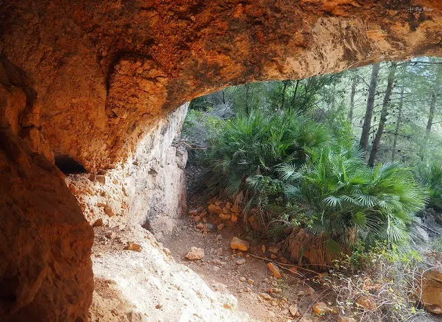
Cova de Roca Llorenya
Large rock shelter beneath Roca Llorenya, in the Serra de Pàndols, on the left bank of a ravine N of Roca Llorenya that opens out opposite km 7.5 of the C-43 road from el Pinell de Brai to Gandesa.
EspeleoWorld
Cova de Roca Llorenya
Large rock shelter beneath Roca Llorenya, in the Serra de Pàndols, on the left bank of a ravine N of Roca Llorenya that opens out opposite km 7.5 of the C-43 road from el Pinell de Brai to Gandesa.
Pinell de Brai, El · Terra Alta
Length: 5 m
Updated record
https://espeleoworld.com/en/c/cova-de-roca-llorenya
Information can change. Always verify coordinates, access, weather, and cave conditions before setting out.
Large rock shelter beneath Roca Llorenya, in the Serra de Pàndols, on the left bank of a ravine N of Roca Llorenya that opens out opposite km 7.5 of the C-43 road from el Pinell de Brai to Gandesa.
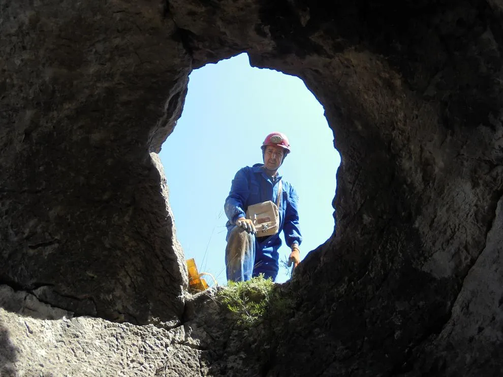
Photos

Espeleoindex · CC BY-NC 4.0, https://creativecommons.org/licenses/by-nc/4.0/ · Image © its author.
Description
Morphology
A large rock shelter, but one that penetrates only a few metres into the rock. No survey is available, so the exact dimensions of the cavity are unknown.
History
Certainly known since ancient times. Unpublished in speleological catalogues. It possibly served as a refuge for some detachment of the International Brigades during the Battle of the Ebro in 1938.
User Comments (0)
No comments yet.
Be the first to share your experience!
Registered Explorations (0)
No explorations registered yet.
Register your visit to this cave!
Bibliography
- Totes les dades i fotografies han estat extretes del blog: senderes.blogspot (de Pep Badia, la Ràpita). Apunt: Vall Closa. Serra de Pàndols (31-3-2021). Inclou ruta i track de wikiloc.
Nearby caves
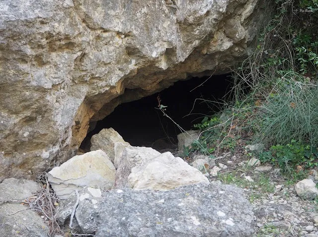
Cova de la Vall Closa
0.4 km · NW
Pinell de Brai, El (Terra Alta)
1 topo.6 photos
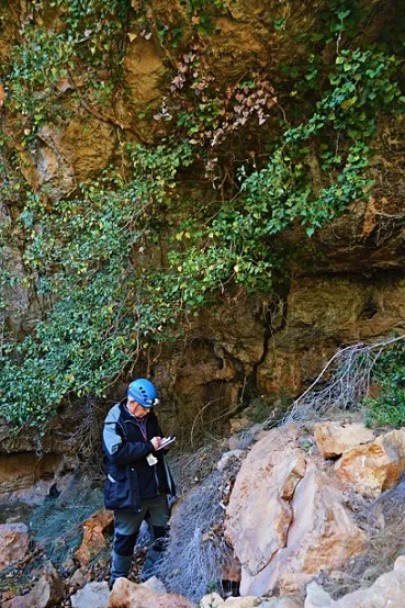
Balma de la Vall Closa
0.4 km · NW
Pinell de Brai, El (Terra Alta)
1 topo.2 photos
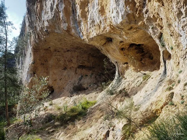
Cova de la Brigada Lincoln
0.5 km · N
Pinell de Brai, El (Terra Alta)
1 topo.5 photos
Cova-avenc de la Teuleria
1.3 km · W
Gandesa (Terra Alta)
1 topo.3 photos
Source: Espeleoindex (espeleoindex.com), modified. CC BY-NC 4.0, https://creativecommons.org/licenses/by-nc/4.0/