
Cova de les Esglesietes
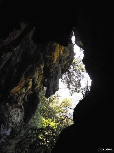
A rock shelter in the rasa de Vilamala (Navès), about 20 metres long, with limestone concretions that have formed a small cave. Archaeological site from the Middle Bronze Age (-1500, -1200).
EspeleoWorld
Cova de les Esglesietes
A rock shelter in the rasa de Vilamala (Navès), about 20 metres long, with limestone concretions that have formed a small cave. Archaeological site from the Middle Bronze Age (-1500, -1200).
Navès · Solsonès
Length: 6 m
Updated record
https://espeleoworld.com/en/c/cova-de-les-esglesietes
Information can change. Always verify coordinates, access, weather, and cave conditions before setting out.
A rock shelter in the rasa de Vilamala (Navès), about 20 metres long, with limestone concretions that have formed a small cave. Archaeological site from the Middle Bronze Age (-1500, -1200).
Topographic
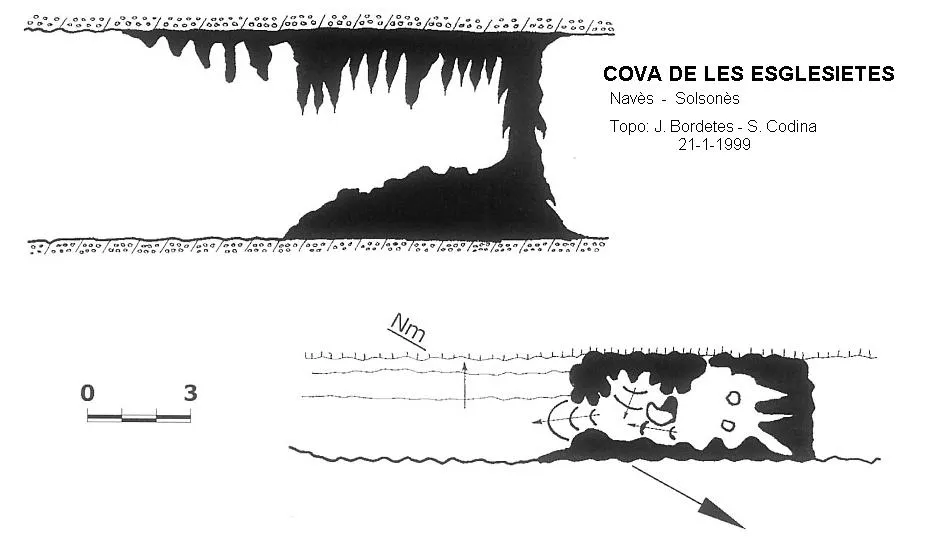
Espeleoindex · CC BY-NC 4.0, https://creativecommons.org/licenses/by-nc/4.0/ · Image © its author.
Photos
Espeleoindex · CC BY-NC 4.0, https://creativecommons.org/licenses/by-nc/4.0/ · Image © its author.
Description
Morphology
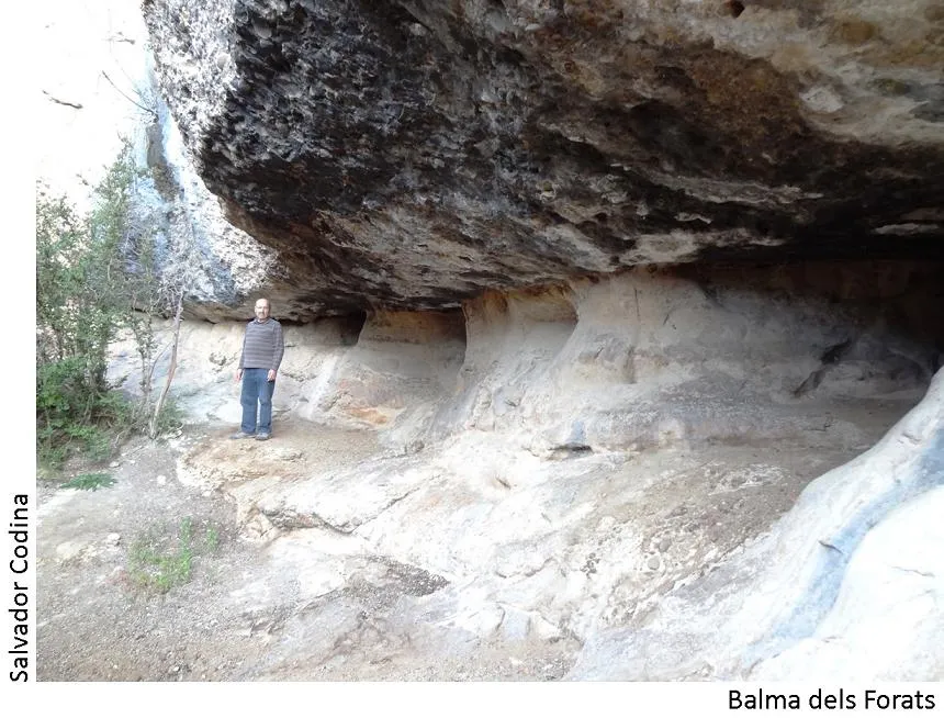
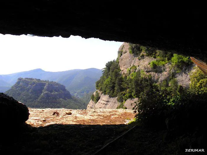
In this spot, at the foot of a cliff, there is a rock shelter about 20 metres long.
Speleothems
In one sector a large quantity of limestone concretions has formed, closing off the rock shelter and creating a small cave.
History
This is an archaeological site belonging to the Middle Bronze Age (-1500, -1200). In the floor of the rock shelter, in the open sector, numerous fragments of a large handmade ceramic vessel were found. In the place where it was found, abundant ashes can still be seen forming part of the sediment.
User Comments (0)
No comments yet.
Be the first to share your experience!
Registered Explorations (0)
No explorations registered yet.
Register your visit to this cave!
Bibliography
- Valles, Jordi de. (2009).-”Alt Urgell, Noguera, Pla d'Urgell, Segarra, Solsonès, Urgell” Catàleg Espeleològic de Catalunya (2):369-370. EC Gràcia/FCE.
- Inventari del Patrimoni Arqueològic de Catalunya. (invarque.cultura.gencat.cat).
- Zermirez, coordenades i fotos extretes de Wikiloc. Ruta Sant Cerni-Santuari de Lord-Grau de Solord. (es.wikiloc.com/wikiloc/view.do?id=13530746)
Nearby caves


Source: Espeleoindex (espeleoindex.com), modified. CC BY-NC 4.0, https://creativecommons.org/licenses/by-nc/4.0/