
Cova dels Encantats de Vilamala
A 15-metre-long rock shelter at the Rasa de Vilamala (Navès), 22 metres wide by 7 metres high, with a semicircular sloping chamber.
EspeleoWorld
Cova dels Encantats de Vilamala
A 15-metre-long rock shelter at the Rasa de Vilamala (Navès), 22 metres wide by 7 metres high, with a semicircular sloping chamber.
Navès · Solsonès
Length: 15 m
Updated record
https://espeleoworld.com/en/c/cova-dels-encantats-de-vilamala
Information can change. Always verify coordinates, access, weather, and cave conditions before setting out.
A 15-metre-long rock shelter at the Rasa de Vilamala (Navès), 22 metres wide by 7 metres high, with a semicircular sloping chamber.
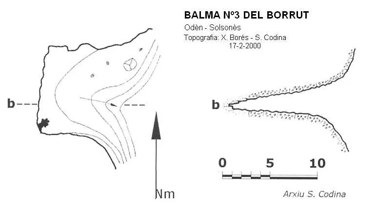
Topographic
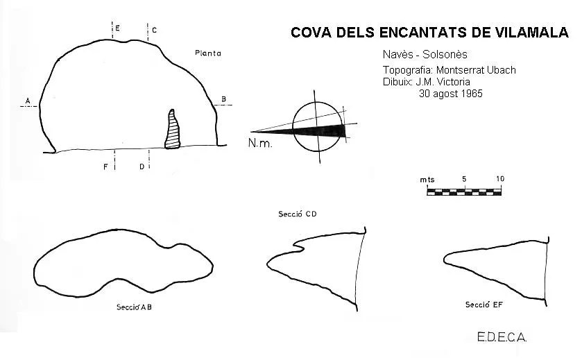
Espeleoindex · CC BY-NC 4.0, https://creativecommons.org/licenses/by-nc/4.0/ · Image © its author.
Description
Morphology
It is a rock shelter 22 metres wide by 7 metres high and 15 metres deep, forming a semicircular sloping chamber.
History
The first exploration of which we have record was carried out on 30 August 1965 by J. Ubach and C. Tarrés (EDECA), Montserrat Ubach (EDECA and ERE), and F. Trepat.
It should be said that to reach the cave, the explorers did so from the upper part of the cliff, overcoming the 125 metres of vertical drop with 90 metres of ladders and other equipment. The topography section includes a drawing of the whole cliff and specifies all the material used for the descent. This drawing, which we believe was unpublished until now, has been found in the archive of the ERE – CEC.
It should also be said that in the Catàleg Espeleològic de Catalunya. Vol. 5 (1980), this cavity is erroneously assigned the synonym of Cova de la Paret, when in reality this is the synonym that corresponds to the Espluga del Duc, catalogued in the municipality of Oliana (Alt Urgell) and which we now know in reality corresponds to that of Odèn (Solsonès).
User Comments (0)
No comments yet.
Be the first to share your experience!
Registered Explorations (0)
No explorations registered yet.
Register your visit to this cave!
Bibliography
- Borràs,J; Miñarro,J.M; Talavera,F.(1980).-”l'Urgell, el Solsonès, la Segarra i el Berguedà”. Catàleg Espeleològic de Catalunya (vol 5):1-233. Ed. Políglota. Barcelona.
- Codina, S.(2007).-”Ruta espeleològica pel clot de Vilamala”. Corriol (145):12-13. CE Solsonès.
- Ubach, Montserrat; Escolà, O.(1968).-”Operació Solsonès. Campanyes 1962 a 1965 (primera etapa)” Espeleòleg (5):158-162. ERE-CE Catalunya.
Nearby caves
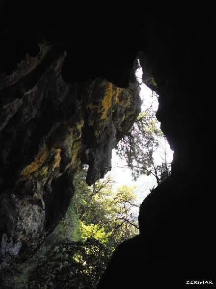
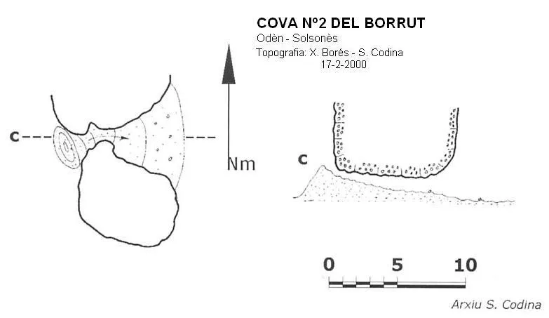
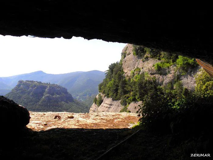

Source: Espeleoindex (espeleoindex.com), modified. CC BY-NC 4.0, https://creativecommons.org/licenses/by-nc/4.0/