
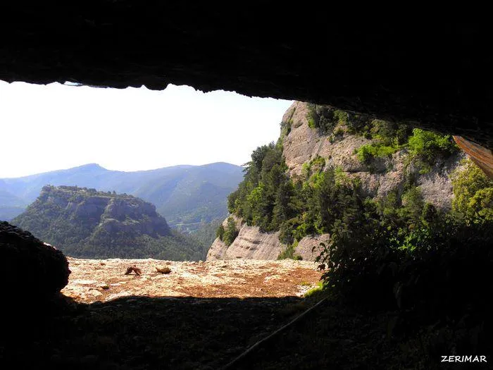
Balma del Fornó
A 20-metre-long rock shelter in Guixers, with a floor plan of 20X8 metres and an average height of one and a half metres.
EspeleoWorld
Balma del Fornó
A 20-metre-long rock shelter in Guixers, with a floor plan of 20X8 metres and an average height of one and a half metres.
Guixers · Solsonès
Length: 20 m
Updated record
https://espeleoworld.com/en/c/balma-del-forno
Information can change. Always verify coordinates, access, weather, and cave conditions before setting out.
A 20-metre-long rock shelter in Guixers, with a floor plan of 20X8 metres and an average height of one and a half metres.
Topographic
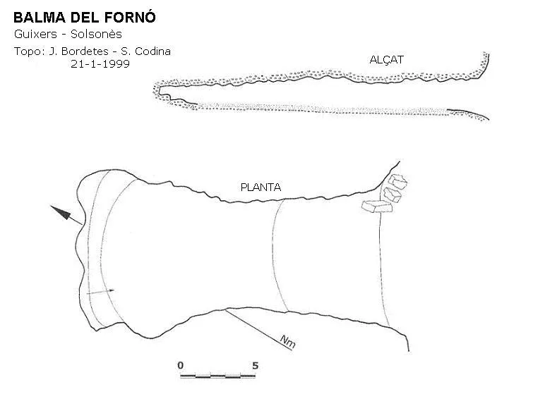
Espeleoindex · CC BY-NC 4.0, https://creativecommons.org/licenses/by-nc/4.0/ · Image © its author.
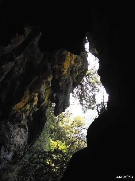
Photos
Espeleoindex · CC BY-NC 4.0, https://creativecommons.org/licenses/by-nc/4.0/ · Image © its author.
Description
Morphology
It is a large rock shelter with a floor plan of 20X8 metres and an average height of one and a half metres. It is one of the largest and flattest rock shelters in the region, with a commanding view over the torrent de Torroella and the sanctuary of Lord.
Progression
We will start from the bend of font Fenarals on the LV-4241b road from Solsona to Coll de Jou. We will follow the old royal road from Solsona to Sant Llorenç de Morunys, which is currently waymarked with the GR-7. First we will walk on the flat and then descend to a col, where we will leave this path to follow the whole ridge, in the direction of the Tossal del Sòbol. On reaching the point where the path begins the climb to the last elevation from which the whole planell del Sòbol is overlooked, we will continue to the left (Torroella slope), and on the rock we will see some painted marks (green and yellow, data from 1999). We will leave the rocky ridge and after a short horizontal walk, we will end up going into the forest. We will lose height alternating stony clearings and forest. Care must be taken not to lose the marks, especially in fog. We will reach a point where the path makes a marked turn to the right, passing a few metres later above some stone slabs. At this point, we will follow the marks of the same colour, and making an almost horizontal walk and passing through rocky terrain, in about 200 metres we will reach the rock shelter.
History
It has been used to keep livestock and for shelter since time immemorial.
User Comments (0)
No comments yet.
Be the first to share your experience!
Registered Explorations (0)
No explorations registered yet.
Register your visit to this cave!
Bibliography
- Codina, Salvador.(2001).-”Balma del Fornó”. Corriol (123):10-11. Centre Excursionista del Solsonès.
- Valles, Jordi de. (2009).-”Alt Urgell, Noguera, Pla d'Urgell, Segarra, Solsonès, Urgell” Catàleg Espeleològic de Catalunya (2):317. EC Gràcia/FCE.
- Zermirez, coordenades i foto extretes de Wikiloc. Ruta Sant Cerni-Santuari de Lord-Grau de Solord. (es.wikiloc.com/wikiloc/view.do?id=13530746)
Nearby caves
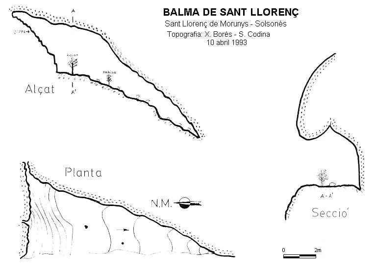
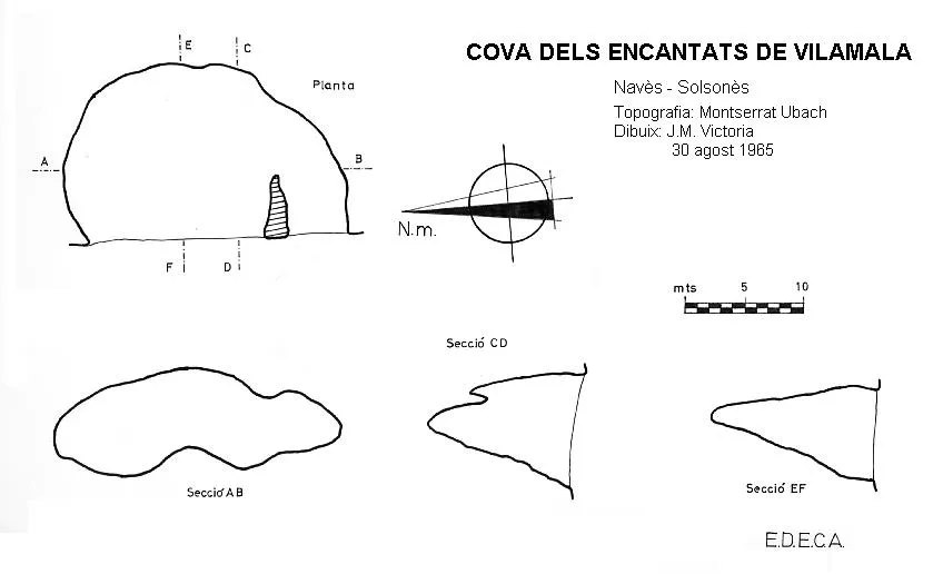


Source: Espeleoindex (espeleoindex.com), modified. CC BY-NC 4.0, https://creativecommons.org/licenses/by-nc/4.0/