
Cova de les Borres
Important jaciment arqueològic a la Febró.
EspeleoWorld
Cova de les Borres
Important jaciment arqueològic a la Febró.
Febró, La · Baix Camp
Length: 5 m
Updated record
https://espeleoworld.com/en/c/cova-de-les-borres
Information can change. Always verify coordinates, access, weather, and cave conditions before setting out.
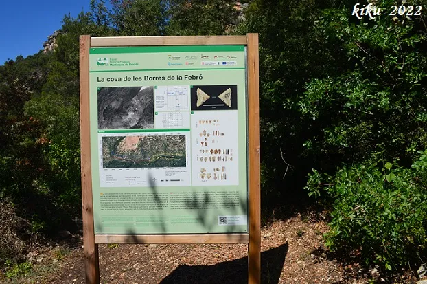
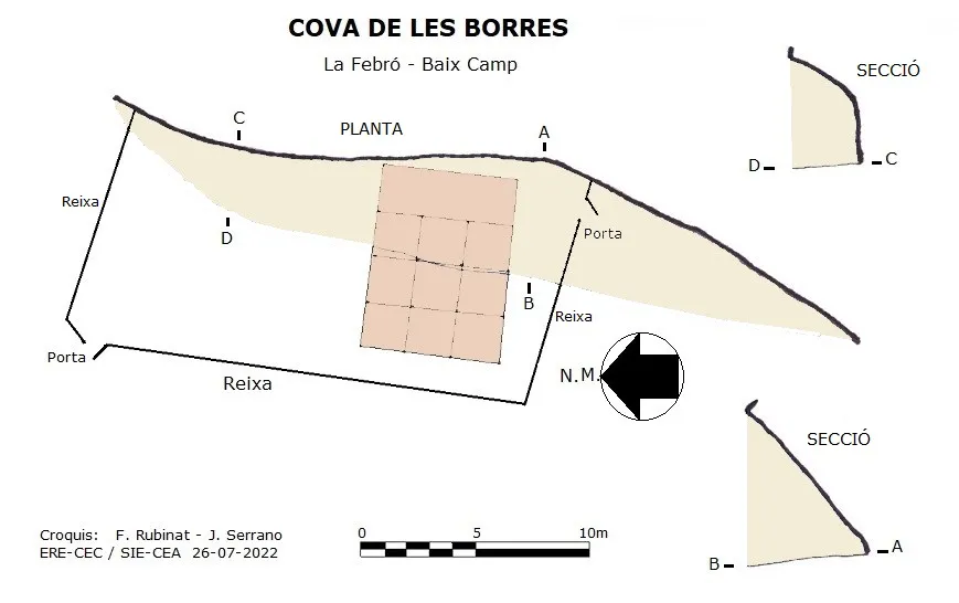
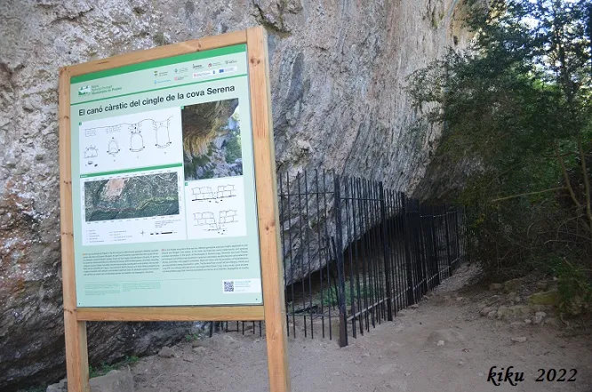
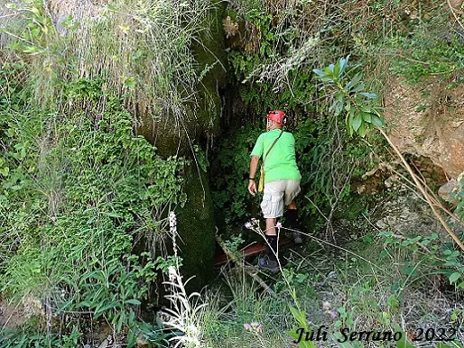
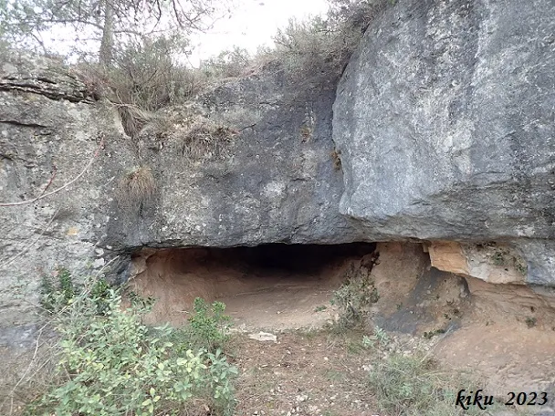
Archaeological site in la Febró, a rock shelter 35 metres wide and a little more than 5 metres deep, protected with an iron grille (2022).
Topographic
Espeleoindex · CC BY-NC 4.0, https://creativecommons.org/licenses/by-nc/4.0/ · Image © its author.
Photos
Espeleoindex · CC BY-NC 4.0, https://creativecommons.org/licenses/by-nc/4.0/ · Image © its author.
Description
Morphology
It is a rock shelter 35 metres wide and a little more than 5 metres deep.
Other details
Currently (2022) and due to the archaeological work being carried out there, the whole surroundings of the rock shelter have been protected with an iron grille.
History
The name Borres is a typical toponym of this area that unfortunately is being lost; it refers to the moss that grows in damp places.
The site was discovered by doctor Salvador Vilaseca and his collaborators (Albert Prunera and Manuel Mata) during the 40s of the 20th century. Doctor Vilaseca published the archaeological remains recovered as the first record of human presence in the Serra de Prades.
Fieldwork was restarted in 2012 by the IPHES (Institut Català de Paleoecologia Humana i Evolució Social). Preliminary studies of the archaeological assemblage and the dates from the 14th century suggest a record from the late Magdalenian and the initial Epipalaeolithic.
User Comments (0)
No comments yet.
Be the first to share your experience!
Registered Explorations (0)
No explorations registered yet.
Register your visit to this cave!
Bibliography
- Manent, Albert (1967).- Toponímia del terme municipal de la Febró. (Premi Eduard Brossa 1968 de la Societat Catalana de Geografia). Butlletí Arqueològic. Reial Societat Arqueològica Tarraconense, 1973, Núm. 121-128, p. 163-192.
- Vigara Rodríguez, Noemí (2021).-Anàlisi funcional dels gratadors magdalenians de la cova de les Borres. Treball final de Grau. Universitat de Barcelona.
- Vilaseca Anguera, Salvador (1973).-Reus y su entorno en la Prehistoria (tomos I-II). Asociación de Estudios Reusenses.
- Dades, coordenades, situació, topografia i fotografies facilitades per Juli Serrano (SIE-CEA) i Francesc Rubinat (ERE-CEC).
Nearby caves


Source: Espeleoindex (espeleoindex.com), modified. CC BY-NC 4.0, https://creativecommons.org/licenses/by-nc/4.0/