
Tosca dels Escanals
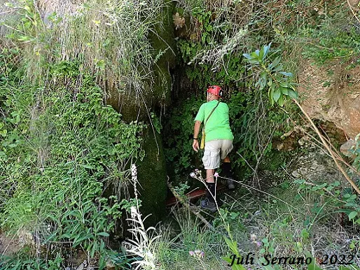
Small cavity developed in travertines at the Tosca dels Escanals, in la Febró.
EspeleoWorld
Tosca dels Escanals
Small cavity developed in travertines at the Tosca dels Escanals, in la Febró.
Febró, La · Baix Camp
Length: 6 m · Depth: 1 m
Updated record
https://espeleoworld.com/en/c/tosca-dels-escanals
Information can change. Always verify coordinates, access, weather, and cave conditions before setting out.
Small cavity developed in travertines at the Tosca dels Escanals, in la Febró.
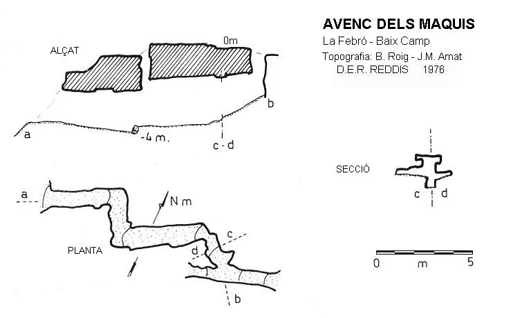
Topographic
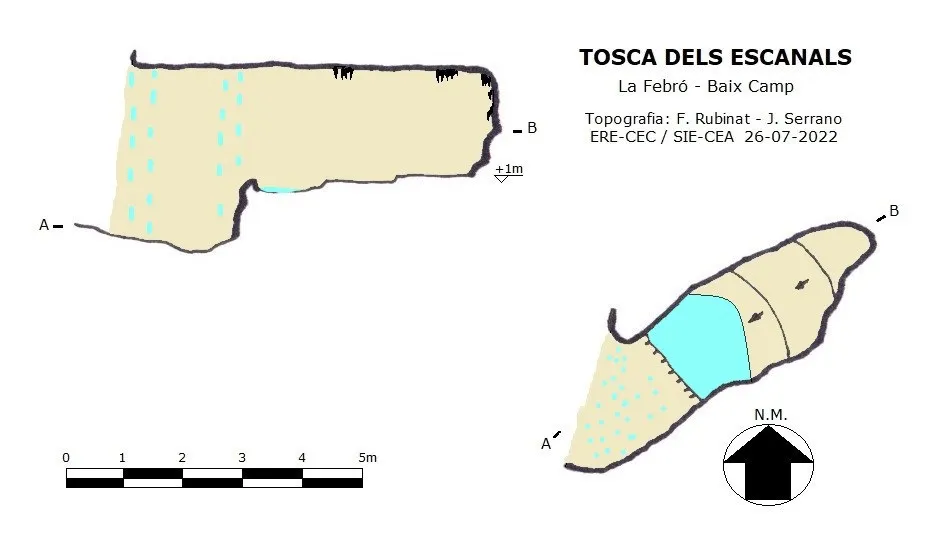
Espeleoindex · CC BY-NC 4.0, https://creativecommons.org/licenses/by-nc/4.0/ · Image © its author.
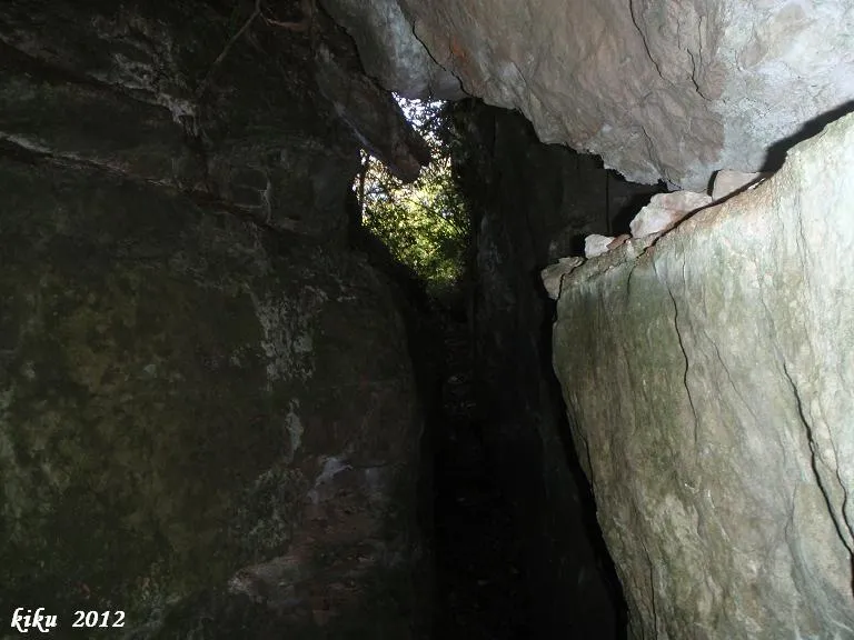
Photos
Espeleoindex · CC BY-NC 4.0, https://creativecommons.org/licenses/by-nc/4.0/ · Image © its author.
Description
Morphology
Small cavity developed in the space left behind the flowstone resulting from the contribution of travertines.
Hydrology
The waters come from two small ravines, the Canals del Mas d'en Bella, which join shortly before forming the waterfall of the Tosca dels Escanals.
History
In the past, the waters of the Canals del Mas d'en Bella were conducted to the other bank of the Siurana by means of a hollowed-out trunk, in order to feed the collection point of the nearby Molí de la Febró.
User Comments (0)
No comments yet.
Be the first to share your experience!
Registered Explorations (0)
No explorations registered yet.
Register your visit to this cave!
Bibliography
- Manent, Albert (1967).- Toponímia del terme municipal de la Febró. (Premi Eduard Brossa 1968 de la Societat Catalana de Geografia). Butlletí Arqueològic. Reial Societat Arqueològica Tarraconense, 1973, Núm. 121-128, p. 163-192.
- Dades extretes de blog (blocs.tinet.cat/lt/blog/archive/179/2009/08/)
- Dades, coordenades, situació, topografia i fotografies facilitades per Juli Serrano (SIE-CEA) i Francesc Rubinat (ERE-CEC).
Nearby caves


Source: Espeleoindex (espeleoindex.com), modified. CC BY-NC 4.0, https://creativecommons.org/licenses/by-nc/4.0/