
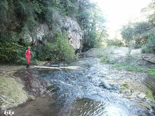
Cova de la Torre
Cova de 47 metres a Sant Feliu de Pallerols
EspeleoWorld
Cova de la Torre
Cova de 47 metres a Sant Feliu de Pallerols
Sant Feliu de Pallerols · Garrotxa
Length: 47 m · Depth: 5 m
Updated record
https://espeleoworld.com/en/c/cova-de-la-torre
Information can change. Always verify coordinates, access, weather, and cave conditions before setting out.
A 47-metre cave in Sant Feliu de Pallerols, long known to the inhabitants of the mas de la Torre.
Topographic
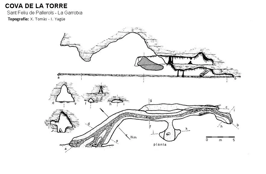

Espeleoindex · CC BY-NC 4.0, https://creativecommons.org/licenses/by-nc/4.0/ · Image © its author.
Photos

Espeleoindex · CC BY-NC 4.0, https://creativecommons.org/licenses/by-nc/4.0/ · Image © its author.
Description
Morphology
At the entrance mouth we find an open grille that gives access to a large gallery, at the end of which we find two fairly narrow levels. On the NE wall and halfway along we find a small side chamber.
Hydrology
The lower level has a small flow of water.
History
Long known to the inhabitants of the mas de la Torre.
User Comments (0)
No comments yet.
Be the first to share your experience!
Registered Explorations (0)
No explorations registered yet.
Register your visit to this cave!
Bibliography
1. Tomàs i Corretgé, Xavier. (1973).-“La Cova de la Torre”. Espeleosie (14):17-20. SIE-CE Àliga. Barcelona.
2. Bellés, Xavier. (1978).-“Notas ecológicas sobre la Cova de la Torre” Speleon (24):77-91. Centre Excursionista de Catalunya. Barcelona.
Nearby caves
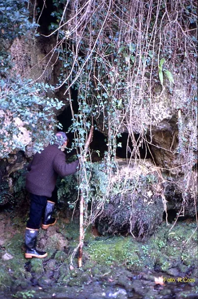
Balma del Pont Nou
0.2 km · NW
Sant Feliu de Pallerols (Garrotxa)
2 topo.4 photos
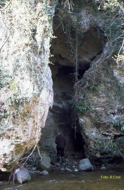
Balma del Pont Vell
0.3 km · NW
Sant Feliu de Pallerols (Garrotxa)
2 topo.4 photos
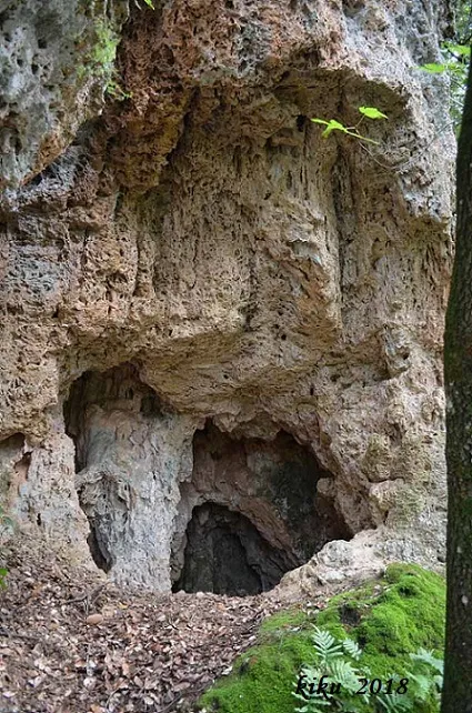
Cova de l'Avellaner
1.7 km · NE
Planes d'Hostoles, Les (Garrotxa)
1 topo.2 photos
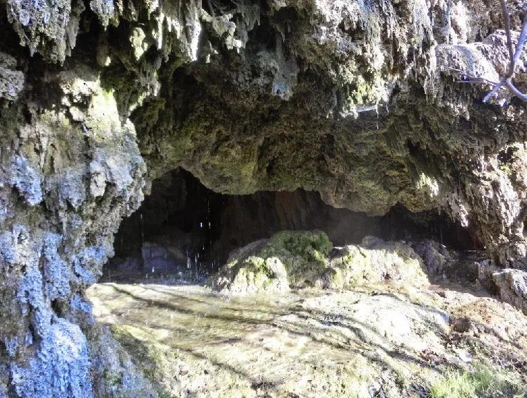
Cova de Fontanil
2.4 km · NE
Planes d'Hostoles, Les (Garrotxa)
1 topo.4 photos
Source: Espeleoindex (espeleoindex.com), modified. CC BY-NC 4.0, https://creativecommons.org/licenses/by-nc/4.0/