
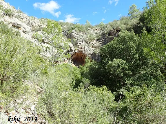
Cova de la Solana de Ca la Torre
Petita cova a la solana de Ca la Torre, Pratdip
EspeleoWorld
Cova de la Solana de Ca la Torre
Petita cova a la solana de Ca la Torre, Pratdip
Pratdip · Baix Camp
Length: 6 m · Depth: 2 m
Updated record
https://espeleoworld.com/en/c/cova-de-la-solana-de-ca-la-torre
Information can change. Always verify coordinates, access, weather, and cave conditions before setting out.
Small cave at the Solana de Ca la Torre, on the lower part of the S slope of the Puig del Marquès, in Pratdip. It is reached from the T-310 road from Mont-roig del Camp to Pratdip.
Topographic
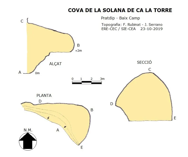

Espeleoindex · CC BY-NC 4.0, https://creativecommons.org/licenses/by-nc/4.0/ · Image © its author.
Photos

Espeleoindex · CC BY-NC 4.0, https://creativecommons.org/licenses/by-nc/4.0/ · Image © its author.
Description
Morphology
A 6x5 metre entrance places us before a 1.7 metre high rise that must be climbed, followed by another 0.3 metre rise, where we find a short 4 metre gallery where the cavity ends.
Given its characteristics, it would have been used as a shelter; likewise, we find two tiny caves located a few metres from this cave, both on the N and on the S side, all of them fitted out with small walls.
Progression
Eighty metres before reaching the first houses, and at the junction of the avinguda de Pratdip with the carrer de la Magnòlia, we will turn 180 degrees to the right along an uphill asphalted track which, when it reaches the flat area, must be followed along the main track where the asphalted area soon ends. From the point where we made the 180 degree turn, we will travel 450 metres where we will find a fork that we will follow to the right; at 750 metres from the start we will find a new fork that we will follow to the left; after a few metres both tracks meet again, but the right-hand one is in poor condition. At 960 metres from the start we will find a new fork that we will follow to the left; at 1,230 metres from the start a new fork that we will follow to the right; and at 1,730 metres from the start we will leave the vehicle to continue to the left along a very damaged track; we will follow this until it ends, at which point we will have travelled 2,420 metres from the start. At this point we will approach the slope of the ravine looking for the best way down to its bed; once at the bottom of the ravine we will go up it for about 90 metres where we will find the cave.
History
It seems that it was known since ancient times and very probably used as a shelter when the terraced plots that we find abandoned on the banks of the ravine were still being worked.
User Comments (0)
No comments yet.
Be the first to share your experience!
Registered Explorations (0)
No explorations registered yet.
Register your visit to this cave!
Bibliography
- Totes les dades, coordenades, situació, topografia i fotografies han estat facilitades per Francesc Rubinat (ERE-CEC) i Juli Serrano (SIE-CEA).
Nearby caves
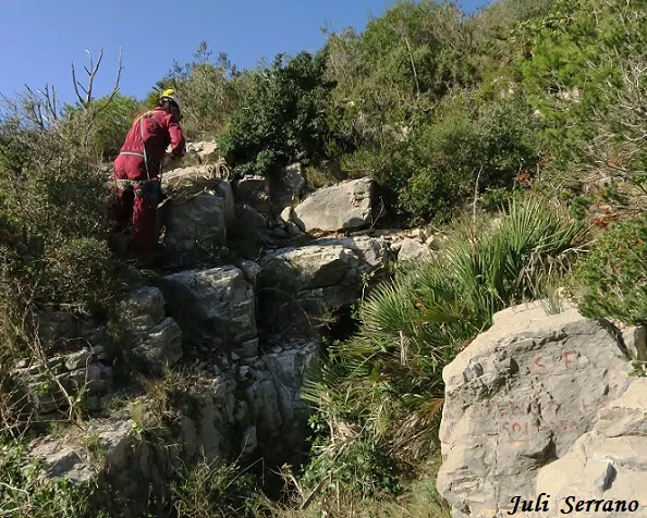
Avenc de la Solana de Ca la Torre
0.1 km · SW
Pratdip (Baix Camp)
1 topo.12 photos
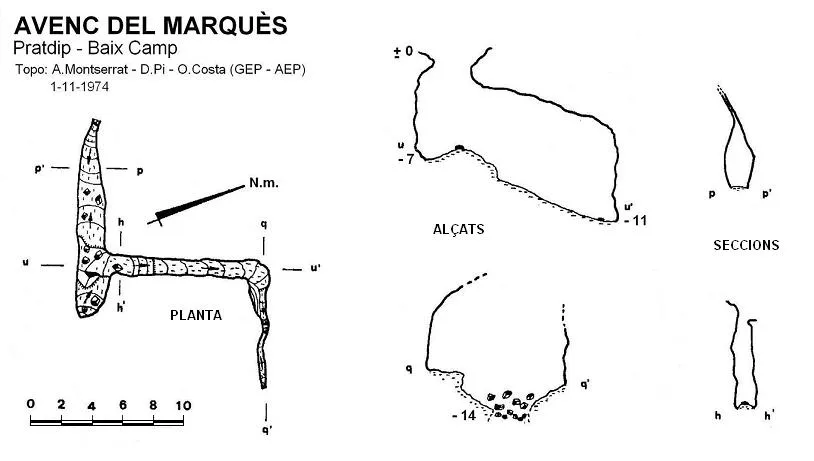
Avenc del Marquès
1.0 km · NW
Pratdip (Baix Camp)
1 topo.
Avenc de la Bassa
1.2 km · NE
Pratdip (Baix Camp)
1 topo.3 photos
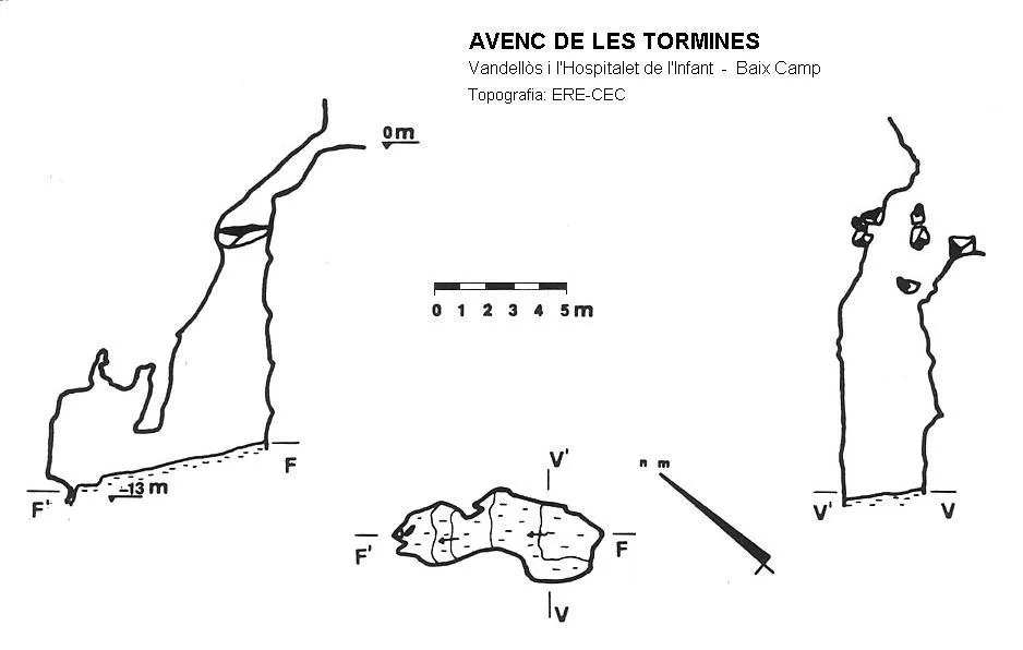
Avenc de les Tormines
1.2 km · SW
Vandellòs i l'Hospitalet de l'Infant (Baix Camp)
1 topo.
Source: Espeleoindex (espeleoindex.com), modified. CC BY-NC 4.0, https://creativecommons.org/licenses/by-nc/4.0/