
Cova de la Punta de Moliner
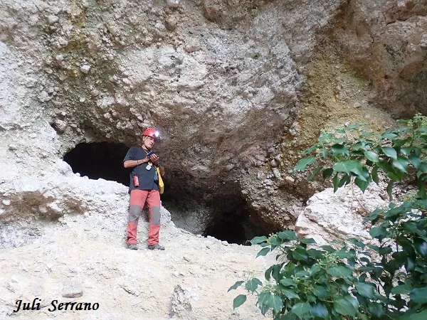
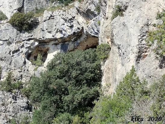
A small cave at the foot of the cliff of the Punta de Moliner, in Mont-ral, with an entrance fitted with a stone wall and a single gallery of eleven metres.
EspeleoWorld
Cova de la Punta de Moliner
A small cave at the foot of the cliff of the Punta de Moliner, in Mont-ral, with an entrance fitted with a stone wall and a single gallery of eleven metres.
Mont-ral · Alt Camp
Length: 11 m
Updated record
https://espeleoworld.com/en/c/cova-de-la-punta-de-moliner
Information can change. Always verify coordinates, access, weather, and cave conditions before setting out.
A small cave at the foot of the cliff of the Punta de Moliner, in Mont-ral, with an entrance fitted with a stone wall and a single gallery of eleven metres.
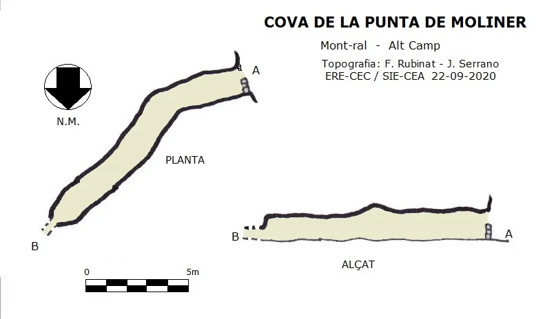
Topographic
Espeleoindex · CC BY-NC 4.0, https://creativecommons.org/licenses/by-nc/4.0/ · Image © its author.
Photos
Espeleoindex · CC BY-NC 4.0, https://creativecommons.org/licenses/by-nc/4.0/ · Image © its author.
Description
Morphology
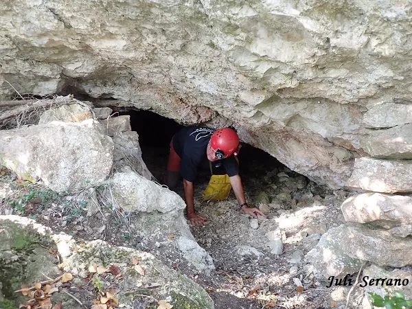
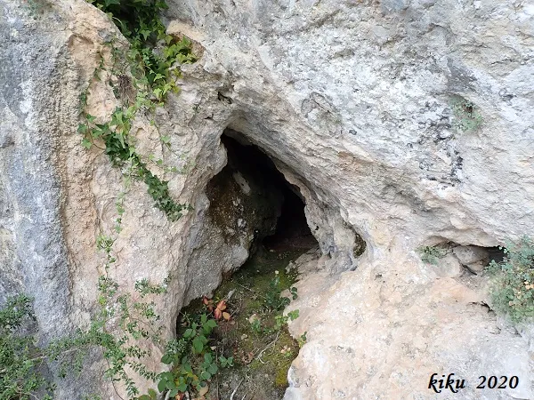
Small cave with the entrance fitted with a stone wall to use it as a shelter. It consists of a single gallery eleven metres long with an average height of a little more than one metre; only at one point is it possible to stand upright. At the end, a narrow crawlway makes continuation impossible.
History
A cavity for which we have found no reference, only some mention in some wikiloc route where it is confused with the cova del Be, which is located just below, at the base of the lower cliff.
User Comments (0)
No comments yet.
Be the first to share your experience!
Registered Explorations (0)
No explorations registered yet.
Register your visit to this cave!
Bibliography
- Perea Simón, Eugeni (1994).-La geografía i la història de Mont-ral a través de la seva onomàstica. (1-331). Societat d'Onomàstica / Institut Cartogràfic de Catalunya.
- Dades, situació, coordenades, topografia i fotografies facilitades per Juli Serrano (SIE-CEA) i Francesc Rubinat (ERE-CEC).Setembre de 2020.
Nearby caves


Source: Espeleoindex (espeleoindex.com), modified. CC BY-NC 4.0, https://creativecommons.org/licenses/by-nc/4.0/