
Cova de la Bruixa
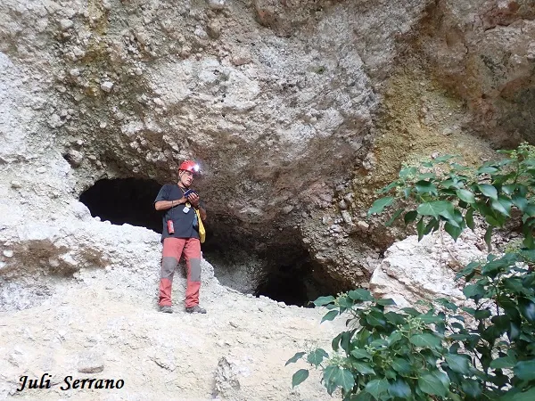
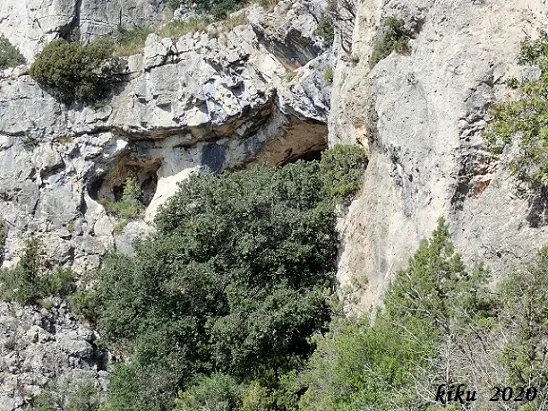
Gran balma als cingles de l'Abellera, Mont-ral.
EspeleoWorld
Cova de la Bruixa
Gran balma als cingles de l'Abellera, Mont-ral.
Mont-ral · Alt Camp
Length: 19 m · Depth: 11 m
Updated record
https://espeleoworld.com/en/c/cova-de-la-bruixa
Information can change. Always verify coordinates, access, weather, and cave conditions before setting out.
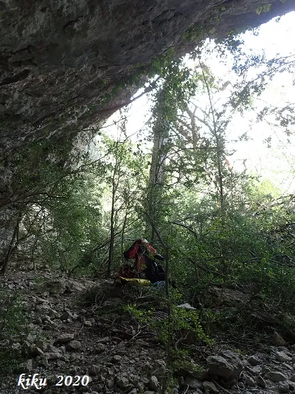
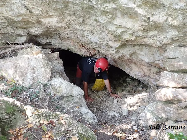
Large rock shelter on the cingles de l'Abellera, Mont-ral, shaped like a half-moon opened in dolomitic breccias, full of small conduits.
Topographic
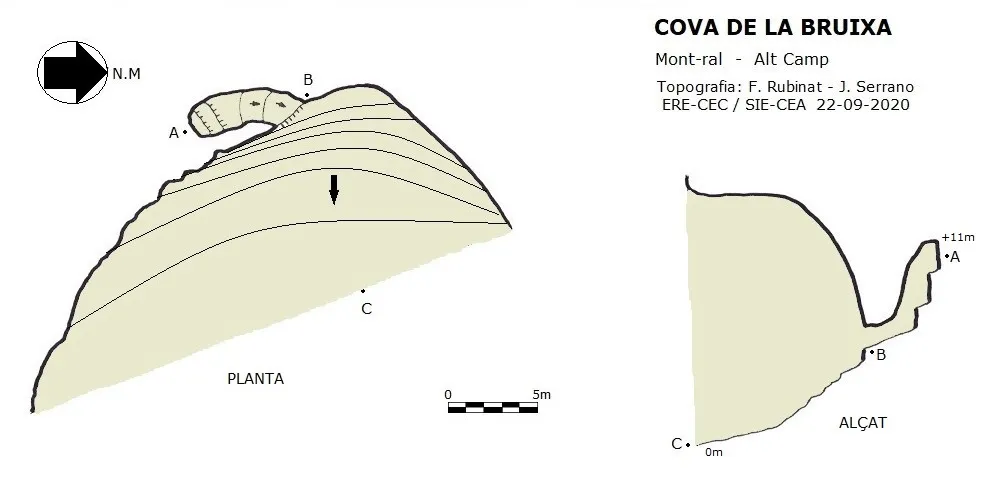
Espeleoindex · CC BY-NC 4.0, https://creativecommons.org/licenses/by-nc/4.0/ · Image © its author.
Photos
Espeleoindex · CC BY-NC 4.0, https://creativecommons.org/licenses/by-nc/4.0/ · Image © its author.
Description
Morphology
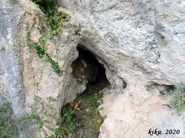
It is a large rock shelter in the shape of a half-moon opened in dolomitic breccias. The whole rock shelter is full of small conduits of no more than a couple of metres, except one which in small steps ascends up to +11 metres. The total route of the rock shelter plus the conduit is 18.30 metres.
History
Cavity known since ancient times; in fact it appears cited in all the maps, but no data about it was known.
User Comments (0)
No comments yet.
Be the first to share your experience!
Registered Explorations (0)
No explorations registered yet.
Register your visit to this cave!
Bibliography
- Dades, situació, coordenades, topografia i fotografies facilitades per Juli Serrano (SIE-CEA) i Francesc Rubinat (ERE-CEC).Setembre de 2020.
Nearby caves


Source: Espeleoindex (espeleoindex.com), modified. CC BY-NC 4.0, https://creativecommons.org/licenses/by-nc/4.0/