

Cova d'en Pere Ferrer
Tiny cave at the head of the Ingla valley (Cerdanya), formed by a short gallery almost 4 m long with a low ceiling.
EspeleoWorld
Cova d'en Pere Ferrer
Tiny cave at the head of the Ingla valley (Cerdanya), formed by a short gallery almost 4 m long with a low ceiling.
Bellver de Cerdanya · Cerdanya
Length: 4 m
Updated record
https://espeleoworld.com/en/c/cova-d-en-pere-ferrer
Information can change. Always verify coordinates, access, weather, and cave conditions before setting out.
Tiny cave at the head of the Ingla valley (Cerdanya), formed by a short gallery almost 4 m long with a low ceiling.
Topographic


Espeleoindex · CC BY-NC 4.0, https://creativecommons.org/licenses/by-nc/4.0/ · Image © its author.
Photos

Espeleoindex · CC BY-NC 4.0, https://creativecommons.org/licenses/by-nc/4.0/ · Image © its author.
Description
Morphology
Formed by a short gallery almost 4 m long with a low ceiling.
Progression
We leave the vehicles and continue on foot along the track barred to cars. After approximately 30 minutes a path comes off to the right (ETRS89 coordinates X: 399369 , Y: 4684249, Z: 1534 m.a.s.l.) that climbs and traverses until the path begins to descend slightly (15 min).
Among the forest a limestone outcrop can be seen. We climb across country to the foot of the crag (10 min) where we find the supposed cova d'en Pere Ferrer and 10 m above it, the avenc del Flabiol
History
No data is known about this small cave, but at the point where it is located on the Editorial Alpina map “Moixeró – LaTosa” it references a cave with this name and the colleagues of the Espeleodijous think it must be the same one.
User Comments (0)
No comments yet.
Be the first to share your experience!
Registered Explorations (0)
No explorations registered yet.
Register your visit to this cave!
Bibliography
- Totes les dades, topografia i fotografies han estat extretes del web: espeleodijous.cat (Apunt de l'1-8-2023)
Nearby caves
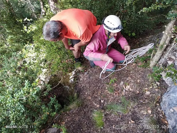
Avenc del Flabiol
0.0 km · NW
Bellver de Cerdanya (Cerdanya)
1 topo.5 photos
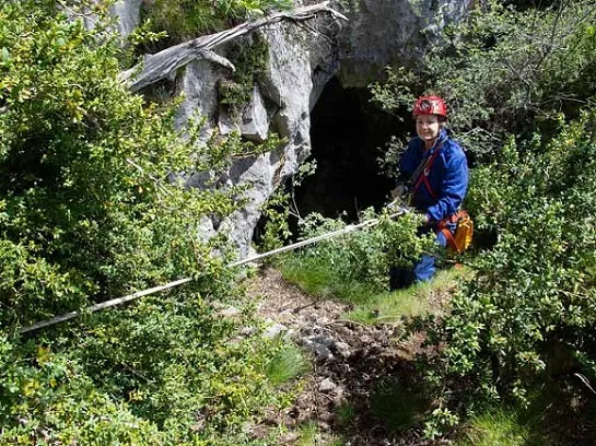
Avenc dels Murgolaires
0.1 km · NW
Bellver de Cerdanya (Cerdanya)
1 topo.4 photos
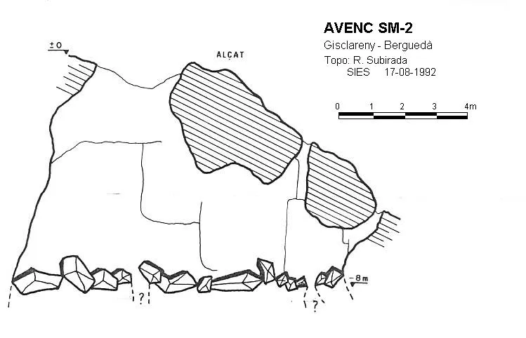
Avenc Sm-2
1.2 km · SE
Gisclareny (Berguedà)
1 topo.

Covetes del Prat de Castilló
1.4 km · NE
Bellver de Cerdanya (Cerdanya)
1 topo.2 photos
Source: Espeleoindex (espeleoindex.com), modified. CC BY-NC 4.0, https://creativecommons.org/licenses/by-nc/4.0/