
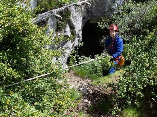
Avenc dels Murgolaires
A 16 m deep pit in the Ingla valley (Cerdanya), with a 7 m vertical shaft, a chamber with a boulder ramp and animal remains; explored and surveyed in 2023.
EspeleoWorld
Avenc dels Murgolaires
A 16 m deep pit in the Ingla valley (Cerdanya), with a 7 m vertical shaft, a chamber with a boulder ramp and animal remains; explored and surveyed in 2023.
Bellver de Cerdanya · Cerdanya
Length: 29 m · Depth: 16 m
Updated record
https://espeleoworld.com/en/c/avenc-dels-murgolaires
Information can change. Always verify coordinates, access, weather, and cave conditions before setting out.
A 16 m deep pit in the Ingla valley (Cerdanya), with a 7 m vertical shaft, a chamber with a boulder ramp and animal remains; explored and surveyed in 2023.
Topographic
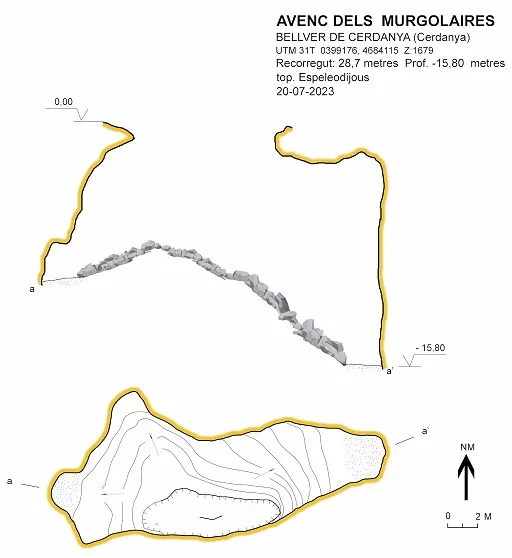
Espeleoindex · CC BY-NC 4.0, https://creativecommons.org/licenses/by-nc/4.0/ · Image © its author.
Photos
Espeleoindex · CC BY-NC 4.0, https://creativecommons.org/licenses/by-nc/4.0/ · Image © its author.
Description
Morphology
Good-sized entrance with abundant vegetation. A 7 m vertical shaft that leads to a chamber of good dimensions with a boulder ramp. At the end of the ramp a flat sediment floor marks the end of the cavity.
Progression
We leave the vehicles and continue on foot along the track closed to cars. After approximately 30 minutes a path comes out on the right (ETRS89 coordinates X: 399369 , Y: 4684249, Z: 1534 m.a.s.l.) that climbs and traverses until the path begins to descend slightly (15 min).
Among the forest a limestone outcrop can be seen. We climb cross-country to the foot of the cliff (10 min) where we find the supposed cova d'en Pere Ferrer and 10 m above it, the avenc del Flabiol.
Once on the path that we left to climb cross-country to the avenc del Flabiol, we follow it for a few tens of metres until we find a large stone in the middle of the path. 10 m further on we must climb straight up to the foot of the cliff where we will find the cavity (15m).
Other details
A 16 m deep pit in the Ingla valley (Cerdanya).
History
In 2018, Ferran Ballesteros and Josep Mª Munill, great connoisseurs of the region, located two pits that could be of speleological interest, they contacted members of the Espeleodijous and in July 2023 the exploration and survey of the cavities was completed.
Bio
Where we find abundant animal remains.
User Comments (0)
No comments yet.
Be the first to share your experience!
Registered Explorations (0)
No explorations registered yet.
Register your visit to this cave!
Bibliography
- Totes les dades, topografia i fotografies han estat extretes del web: espeleodijous.cat (Apunt de l'1-8-2023)
Nearby caves
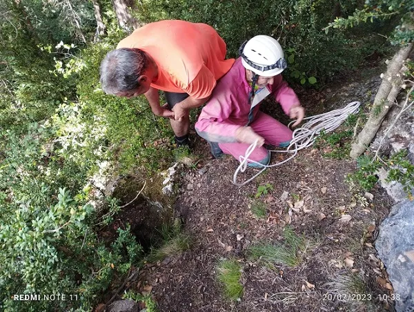


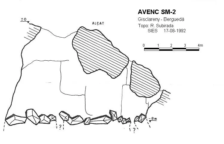


Source: Espeleoindex (espeleoindex.com), modified. CC BY-NC 4.0, https://creativecommons.org/licenses/by-nc/4.0/