
Cova Central
Cova de 54 metres de recorregut al Coll d'Ases (Gallifa)
EspeleoWorld
Cova Central
Cova de 54 metres de recorregut al Coll d'Ases (Gallifa)
Gallifa · Vallès Occidental
Length: 54 m · Depth: 6 m
Updated record
https://espeleoworld.com/en/c/cova-central
Information can change. Always verify coordinates, access, weather, and cave conditions before setting out.
A 54-metre-long cave at Coll d'Ases (Gallifa), formed by a network of parallel and perpendicular joints, with a vertical drop of +6.5 metres.
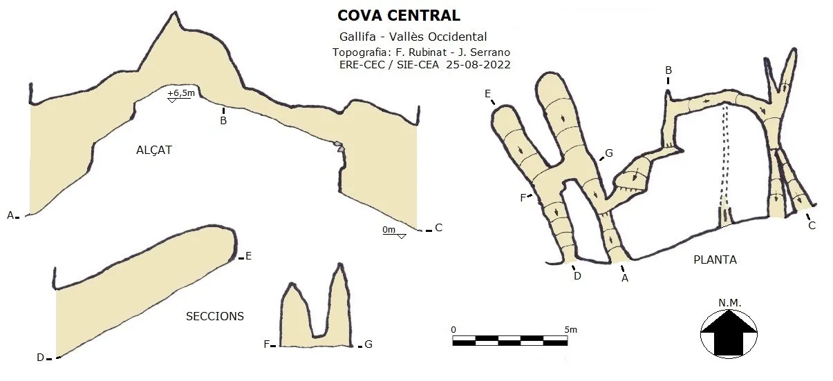
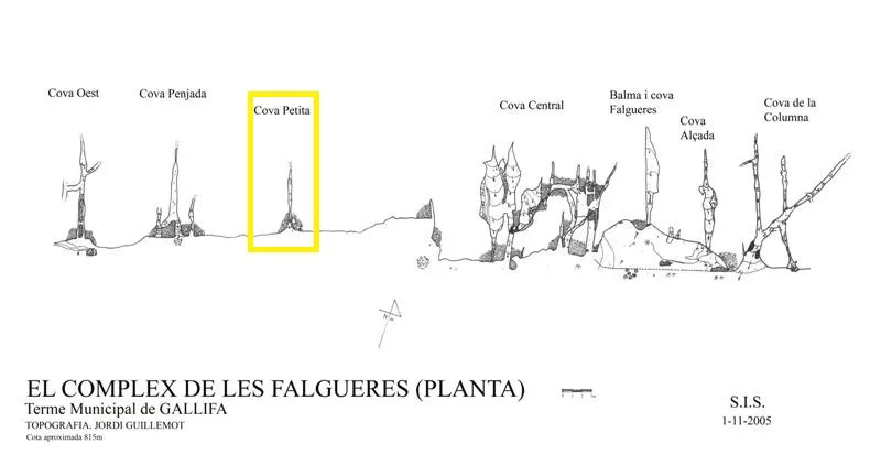
Topographic
Espeleoindex · CC BY-NC 4.0, https://creativecommons.org/licenses/by-nc/4.0/ · Image © its author.
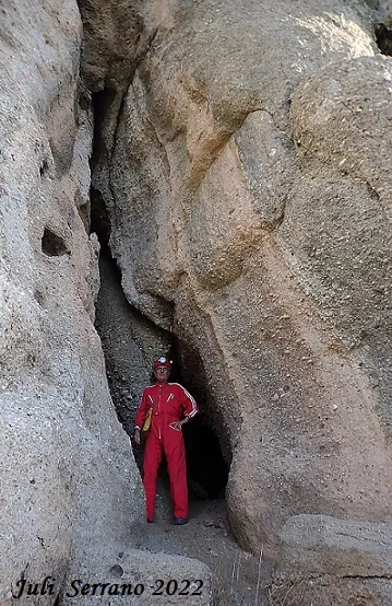
Photos
Espeleoindex · CC BY-NC 4.0, https://creativecommons.org/licenses/by-nc/4.0/ · Image © its author.
Description
Morphology
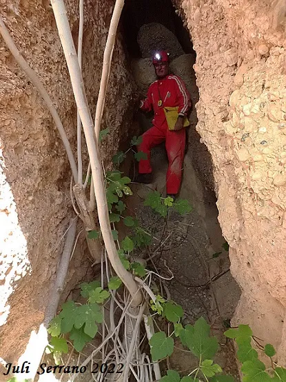
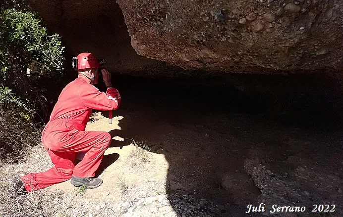
The cavity is formed by a network of joints parallel and perpendicular to each other and connected inside. It is possible to enter through the first and exit through the last; it has a length of 54 metres and a vertical drop of +6.5 metres. The connection between the two networks is made by means of a short crawlway; halfway along it an impenetrable hole can be seen through which the outside light of another access with a strong air current is visible.
History
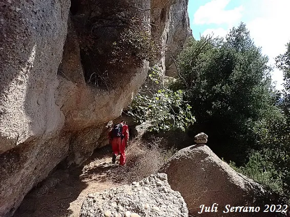
Located by members of the SIS of the CE Terrassa after the fire of 2003, in November 2005 Jordi Guillemot surveyed them and named them “Complex de les Falgueres” after the place name that appears on a nearby hill and which on the Editorial Alpina map is georeferenced as Coll de les Falgueres, but on the current ICGC map this place name does not appear anywhere. This group of cavities is known in hiking circles as Coves de Coll d'Ases; the Matagalls-Montserrat route even passes just below them.
User Comments (0)
No comments yet.
Be the first to share your experience!
Registered Explorations (0)
No explorations registered yet.
Register your visit to this cave!
Bibliography
- Guillemot, Jordi (2007).-”Dos regals del bosc cremat: el complex de les Falgueres i la cova de Salallassera”. VI Trobada d'estudiosos de Sant llorenç del Munt i l'Obac. pp.249-252. Diputació de Barcelona.
- Dades, coordenades, topografia i fotografies han estat facilitades per Juli Serrano (SIE-CEA) i Francesc Rubinat (ERE-CEC), agost de 2022.
Nearby caves


Source: Espeleoindex (espeleoindex.com), modified. CC BY-NC 4.0, https://creativecommons.org/licenses/by-nc/4.0/