
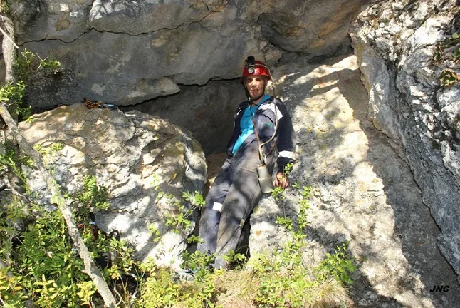
Cova 2 de Saborell
Small cave with 82 metres of passage in Alòs de Balaguer, formed by voids between blocks from landslides of the upper cliff, covered by sediments.
EspeleoWorld
Cova 2 de Saborell
Small cave with 82 metres of passage in Alòs de Balaguer, formed by voids between blocks from landslides of the upper cliff, covered by sediments.
Alòs de Balaguer · Noguera
Length: 82 m · Depth: 9 m
Updated record
https://espeleoworld.com/en/c/cova-2-de-saborell
Information can change. Always verify coordinates, access, weather, and cave conditions before setting out.
Small cave with 82 metres of passage in Alòs de Balaguer, formed by voids between blocks from landslides of the upper cliff, covered by sediments.
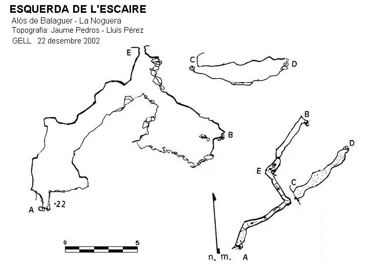
Topographic
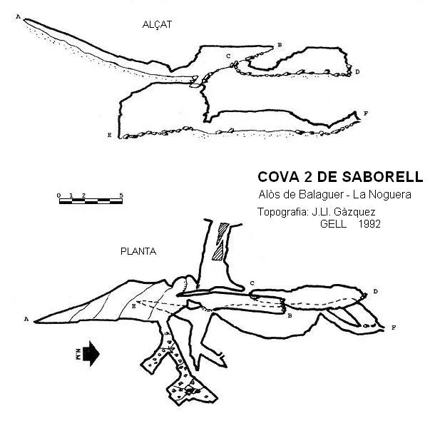
Espeleoindex · CC BY-NC 4.0, https://creativecommons.org/licenses/by-nc/4.0/ · Image © its author.
Photos
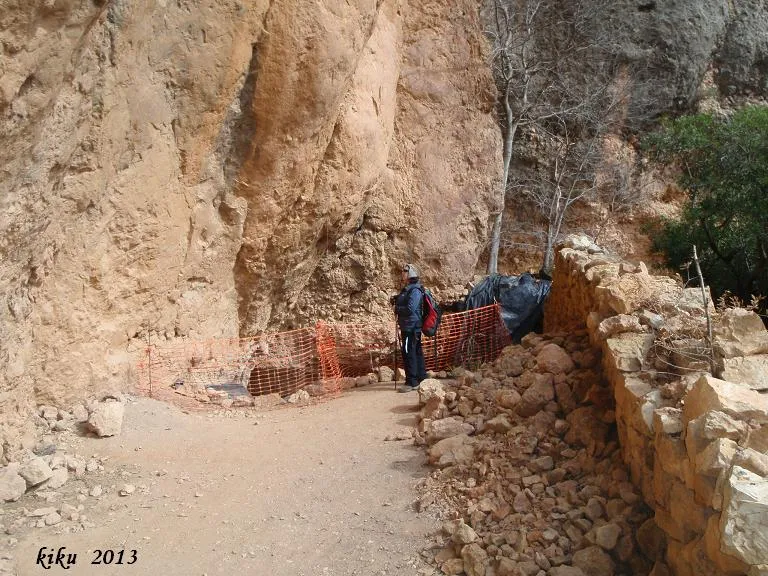
Espeleoindex · CC BY-NC 4.0, https://creativecommons.org/licenses/by-nc/4.0/ · Image © its author.
Description
Morphology
Cavity formed by the voids left between blocks from landslides of the upper cliff, later covered by sediments. This has formed a set of pseudogalleries of reduced dimensions at different levels. The elevation difference is 9 metres (-6/+3).
Speleothems
The local water input has produced an incipient lithogenic process.
History
Explored in 1992 by the GELL of the CE Lleida.
User Comments (0)
No comments yet.
Be the first to share your experience!
Registered Explorations (0)
No explorations registered yet.
Register your visit to this cave!
Bibliography
- Gàzquez i Pons, Josep Lluis, (1995).-”Catàleg Espeleològic de la Noguera” Grallera (3-4):1-90. GE Lleidatà. Lleida.
- Valles, Jordi de (2008).-”Alt Urgell, Noguera, Pla d'Urgell, Segarra, Solsonès, Urgell”. Catàleg Espeleològic de Catalunya (Vol.2):1-384. EC Gràcia/FCE.
- Dades, revisió de coordenades i fotografies facilitades per Montse Mañosa i Jordi Navarro (Centre Excursionista Castellar del Vallès)
Nearby caves
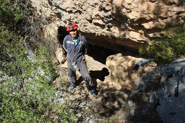
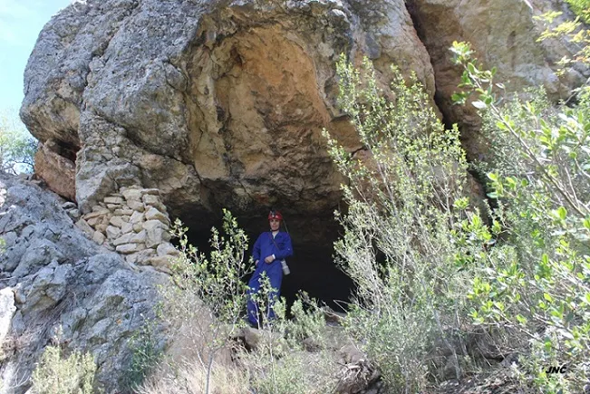


Source: Espeleoindex (espeleoindex.com), modified. CC BY-NC 4.0, https://creativecommons.org/licenses/by-nc/4.0/