

Bufador de l'Infern
Marine cavity in Begur with an upper aerial access and a submerged section that exits to the sea; connected with the Cova de l'Infern.
EspeleoWorld
Bufador de l'Infern
Marine cavity in Begur with an upper aerial access and a submerged section that exits to the sea; connected with the Cova de l'Infern.
Begur · Baix Empordà
Length: 62 m · Depth: 15 m
Updated record
https://espeleoworld.com/en/c/bufador-de-l-infern
Information can change. Always verify coordinates, access, weather, and cave conditions before setting out.
Marine cavity in Begur with an upper aerial access and a submerged section that exits to the sea; connected with the Cova de l'Infern.
Topographic

Espeleoindex · CC BY-NC 4.0, https://creativecommons.org/licenses/by-nc/4.0/ · Image © its author.
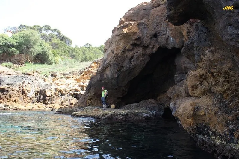
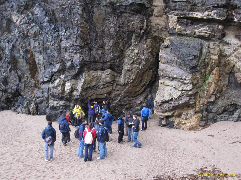
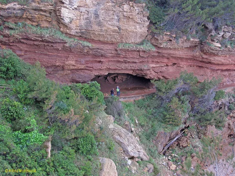
Photos
Espeleoindex · CC BY-NC 4.0, https://creativecommons.org/licenses/by-nc/4.0/ · Image © its author.
Description
Morphology
Marine cave that has two accesses; the upper aerial one above the base of the cliff beside the Camí de Ronda, and the lower one totally submerged below sea level. The communication between both mouths in rough sea conditions allows observing a considerable air current in its small upper mouth.
If we access through the upper mouth, a series of small and narrow passages that at some points had to be cleared and widened allow us to reach the lower part of the cavity, partially flooded with seawater.
Access to the flooded part of the cavity can also be made from the sea by overcoming a submerged sumped section. This gives access to a chamber about 6 m in diameter, partially flooded, initially with large blocks on the floor and a maximum depth of about 3 m of seawater. At the SE end of the room there is a submerged access to another small chamber with an air pocket at its highest part; in the innermost area of the main room we will find a gallery, which at its beginning communicates with the upper aerial part and then becomes totally submerged and ends in a sandy ramp with a new terminal air pocket.
Hydrology
The lower part of the cavity is partially flooded with seawater, with a maximum depth of about 3 m of seawater in the chamber about 6 m in diameter. Access to the flooded part can also be made from the sea by overcoming a submerged sumped section, and the cavity communicates with the sea through a submerged mouth.
Progression
If we access through the upper mouth, a series of small and narrow passages that at some points had to be cleared and widened allow us to reach the lower part of the cavity, partially flooded with seawater. Access to the flooded part of the cavity can also be made from the sea by overcoming a submerged sumped section. At the SE end of the room there is a submerged access to another small chamber with an air pocket at its highest part; in the innermost area of the main room we will find a gallery, which at its beginning communicates with the upper aerial part and then becomes totally submerged and ends in a sandy ramp with a new terminal air pocket.
History
This cavity was the first that Montse Mañosa and Jordi Navarro located in the Begur area and the one that started the interest in these modest coastal cavities. However, it has been the last to be documented due to the complexity of progression for its study.
Initially, and after verifying that the cavity was not connected with its sister Cova de l'Infern, the first incursions into the blowing mouth began; soon it was necessary to carry out the first clearings of blocks and material in the small passages that allowed descending a few metres towards the prized communication with the sea level. It was possible to carry them out with relative ease and speed until reaching a narrow and selective laminator, from which it was already possible to hear the seawater moving and breaking a few metres below.
Countless and frustrating days were necessary to widen the laminator enough to be able to cross it and finally access the prized sea level.
Once at the flooded sea level, it was possible to explore with great caution a large part of the cavity thanks to the existence of an air pocket that connected many of its chambers; the exit to the sea through a submerged mouth that could be overcome in apnea and exit directly to the sea was also certified.
However, in the innermost part of the cavity a gallery was detected that penetrated inland totally flooded and that, with the means and experience we had, made exploration with a certain safety unviable.
At this point the indispensable intervention and selfless collaboration of J.C. Juderías and J.Guarro was needed to review and certify the entire flooded part of the cavity with underwater means, topography and documentation, which has finally allowed this cavity to be documented.
User Comments (0)
No comments yet.
Be the first to share your experience!
Registered Explorations (0)
No explorations registered yet.
Register your visit to this cave!
Bibliography
- Totes les dades, topografia i fotografies han estat extretes del blog: cavitatsdecatalunya.blogspot (de Jordi de Valles). Apunt del 5-1-2025: Coves costaneres de Begur. Dades de Montse Mañosa i Jordi Navarro (Centre Excursionista de Castellar del Vallès.
Nearby caves


Source: Espeleoindex (espeleoindex.com), modified. CC BY-NC 4.0, https://creativecommons.org/licenses/by-nc/4.0/