
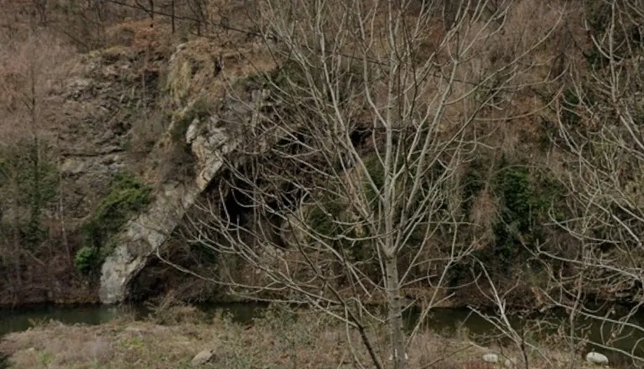
Bauma del Pont de la Cabreta
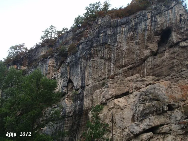
Espectacular balma travessada per la línia del tren, a Campdevànol.
EspeleoWorld
Bauma del Pont de la Cabreta
Espectacular balma travessada per la línia del tren, a Campdevànol.
Campdevànol · Ripollès
Length: 18 m · Depth: 5 m
Updated record
https://espeleoworld.com/en/c/bauma-del-pont-de-la-cabreta
Information can change. Always verify coordinates, access, weather, and cave conditions before setting out.
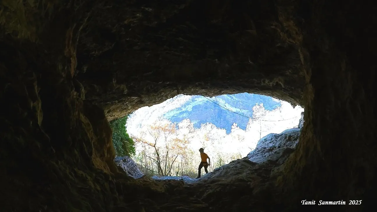
Spectacular rock shelter crossed by the train line at Campdevànol, with a large 14x9.5 metre mouth and access from inside via the railway tunnel.
Topographic
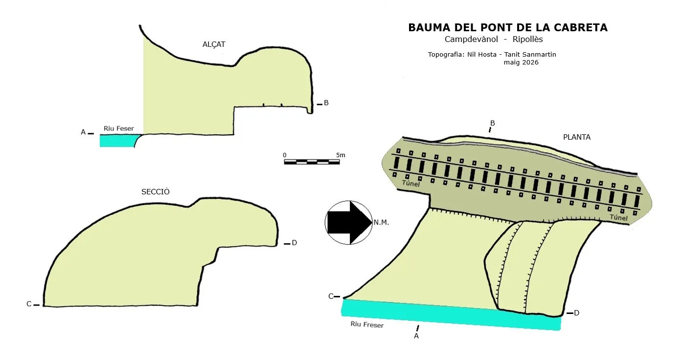
Espeleoindex · CC BY-NC 4.0, https://creativecommons.org/licenses/by-nc/4.0/ · Image © its author.
Photos
Espeleoindex · CC BY-NC 4.0, https://creativecommons.org/licenses/by-nc/4.0/ · Image © its author.
Description
Morphology
A large 14x9.5 metre mouth which can only be accessed from inside through the train tunnel, since at the mouth we find the reservoir of the Herand weir.
From the mouth we find a gallery of 8.5 metres until reaching the wall that supports the backfill that was made to raise the train track, which is 2.6 metres higher. Once on top of the wall we find the train track and the end of the balma about 7 metres further on, on the right side we can access an upper level of the balma that allows us to reach the level of the mouth of the Balma but at 4.75 metres height with respect to the entrance.
Hydrology
At the mouth of the balma we find the reservoir of the Herand weir, and the weir in the Freser river prevents crossing it.
Progression
We must cross the Cabreta bridge and follow the path that climbs past the old carbide factory; just as we cross the small canal tunnel, in front of us we find a small path that we must follow for a while, and wherever we can, passing through the middle of the forest, we will go down until we find the train track, following the track in a N direction until seeing the tunnel that passes inside the balma. We must be alert with the trains, since they never pass at the time they should.
History
Visited and cited for the first time by Faura, Santamaria and Sala who visit it on 14 August 1910.
They only say that it is a very large balma between the Eocene strata, but without scientific interest.
Later cited in speleological catalogues and inventories without providing any further data.
Nil Hosta Ferrer and Tanit Sanmartin visit it again in May 2026 carrying out cataloguing tasks.
User Comments (0)
No comments yet.
Be the first to share your experience!
Registered Explorations (0)
No explorations registered yet.
Register your visit to this cave!
Bibliography
Faura i Sans, M. (1911).- 'Excursiones espeleológicas realizadas el año 1910 en la región catalana'. Boletín de la Sociedad Española de Historia Natural (11): 355-377. Madrid
Font i Sagué, Norbert (1926).-Curs de geologia dinàmica i estratigràfica aplicada a Catalunya. 370 pp. Revisada i ampliada pel Dr. M. Faura i Sans sobre la primera edició de 1905.
Impremta La Neotípia. Barcelona
Borràs,J;Miñarro,JM;Talavera,F.(1980).-'el Ripollès, la Garrotxa i l'Alt Empordà'. Catàleg Espeleològic de Catalunya (vol.4):1-296. ed. Políglota. Barcelona.
Valles, Jordi de (2009).-'Berguedà, Cerdanya, Garrotxa, Ripollès'. Catàleg Espeleològic de Catalunya (vol.3):1-381. E C Gràcia/FCE.
Totes les dades, coordenades, topografia i fotografies han estat facilitades per Nil Hosta i Tanit Sanmartin. Maig de 2026.
Nearby caves
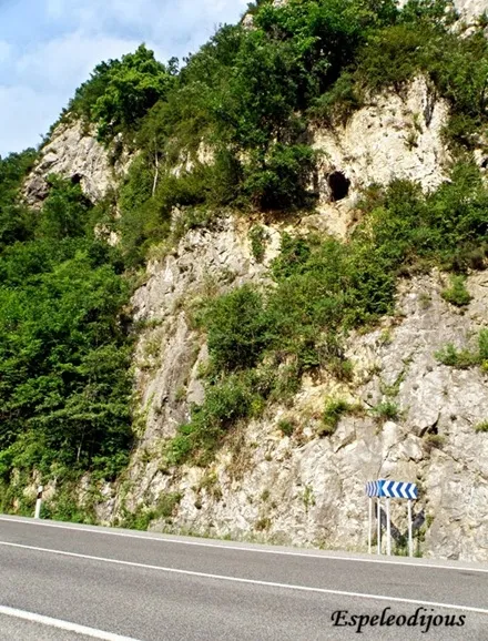
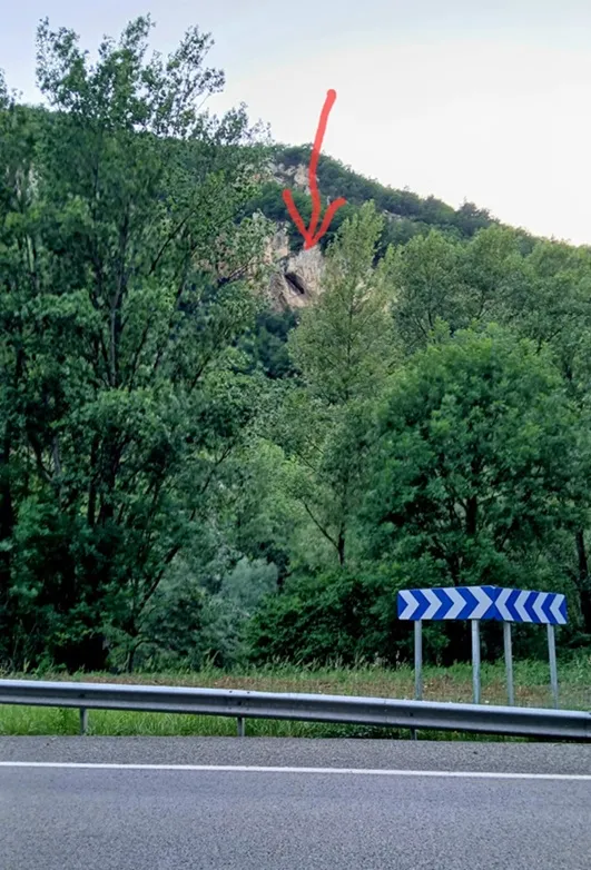


Source: Espeleoindex (espeleoindex.com), modified. CC BY-NC 4.0, https://creativecommons.org/licenses/by-nc/4.0/