
Bauma de la Veta
Àmplia i bonica balma a Montagut i Oix (Garrotxa)
EspeleoWorld
Bauma de la Veta
Àmplia i bonica balma a Montagut i Oix (Garrotxa)
Montagut i Oix · Garrotxa
Length: 36 m
Updated record
https://espeleoworld.com/en/c/bauma-de-la-veta
Information can change. Always verify coordinates, access, weather, and cave conditions before setting out.
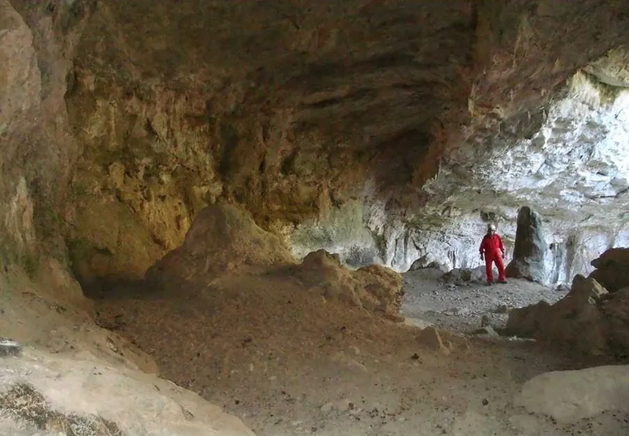
A wide and beautiful rock shelter in Montagut i Oix (Garrotxa), with a mouth 27 m wide and 18 m deep, with speleothems including stalagmites, used by goats for shelter.
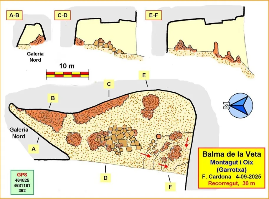
Topographic

Espeleoindex · CC BY-NC 4.0, https://creativecommons.org/licenses/by-nc/4.0/ · Image © its author.
Photos

Espeleoindex · CC BY-NC 4.0, https://creativecommons.org/licenses/by-nc/4.0/ · Image © its author.
Description
Morphology
It is a beautiful rock shelter with a mouth 27 m wide. The depth reaches 18 m, generating a wide chamber that is pleasant to be in. The height of the chamber remains between 6 and 8 m, in a large part of it.
To calculate the speleometry, we have considered the 18 m of depth of the chamber to which we have added another 18 m of the North gallery. Total, 36 m, but from end to end the cavity is 44 m.
Speleothems
The floor is quite concretionated with stalagmite massifs, although old and somewhat eroded. We also find some gour. Notable are some beautiful stalagmites on the south side, which because of their curious shapes were described by Joaquim Agustí as 'monoliths that vaguely recall human figures'.
Other details
The existence of goat droppings on the floor indicates that the rock shelter is used by these animals for shelter.
History
The rock shelter takes this name from its proximity to the coll de la Veta. The toponym 'Veta' we have sometimes seen written 'Beta'. For example, the ICGC map uses 'Veta', while the Alpina map uses 'Beta'.
The cavity has been known by local hikers for a long time. Thus, Joaquim Agustí i Bassols from Olot in his book 'Itineraris de l'Alta Garrotxa (II)' (year 1986) includes a chapter titled 'Coves i rieres' in which he refers to the existence of three cavities around the coll de la Veta.
This information is collected by Francesc Miret in his book 'Coves de l'Alta Garrotxa' (year 1999), including in the catalogue the cavity called 'Bauma sota la Veta', without further data.
Likewise, Jordi de Valles in his 'Catàleg Espeleològic de Catalunya' (Vol.3, year 2009) collects the information and catalogues the 'Bauma Sota la Beta'. Furthermore, he catalogues the 'Bauma de la Veta', of which he says that it is at the foot of a rock fissure, reproducing the data provided by Joaquim Agustí for the first of the three cavities he mentions. In reality, however, both catalogued cavities are the same cavity, the one we are dealing with now, and the one of the rock fissure must be another, almost certainly the Forat Negre, of which for the moment there is still no information available.
User Comments (0)
No comments yet.
Be the first to share your experience!
Registered Explorations (0)
No explorations registered yet.
Register your visit to this cave!
Bibliography
Totes les dades, topografia i fotografies han estat extretes del web: geb.cat (del Grup d'Espeleologia de Badalona). Apunt del 8-9-2025. Dades: Ferran Cardona (ECM Barcelonès)
Nearby caves
Forat Negre d'escales
0.3 km · NW
Montagut i Oix (Garrotxa)
1 topo.6 photos
Bauma del Corneta
0.4 km · N
Montagut i Oix (Garrotxa)
1 topo.5 photos
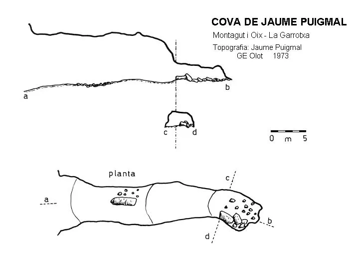
Cova d'en Jaume Puigmal
0.6 km · SE
Montagut i Oix (Garrotxa)
1 topo.
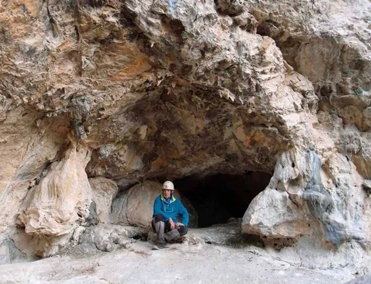
Cova dels Encantats d'escales
0.6 km · NW
Montagut i Oix (Garrotxa)
1 topo.4 photos
Source: Espeleoindex (espeleoindex.com), modified. CC BY-NC 4.0, https://creativecommons.org/licenses/by-nc/4.0/