
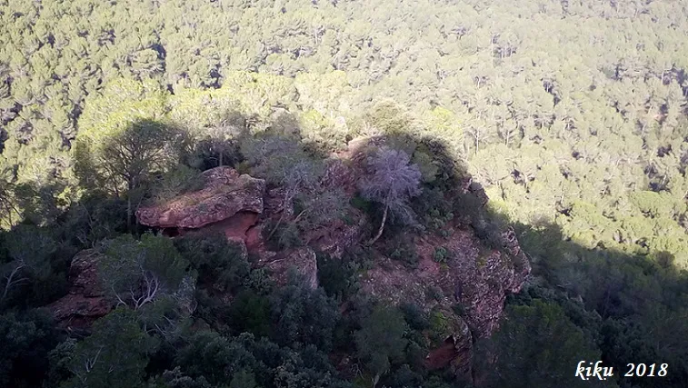
Balmes del Cucut
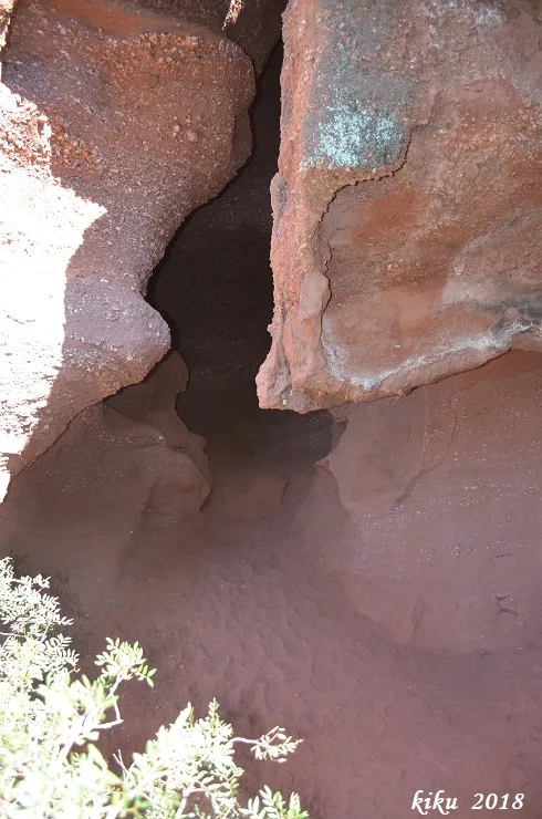
Small balmes at the Penya del Cucut, Cervelló, opened in basal silicic conglomerates.
EspeleoWorld
Balmes del Cucut
Small balmes at the Penya del Cucut, Cervelló, opened in basal silicic conglomerates.
Cervelló · Baix Llobregat
Length: 5 m
Updated record
https://espeleoworld.com/en/c/balmes-del-cucut
Information can change. Always verify coordinates, access, weather, and cave conditions before setting out.
Small balmes at the Penya del Cucut, Cervelló, opened in basal silicic conglomerates.
Topographic
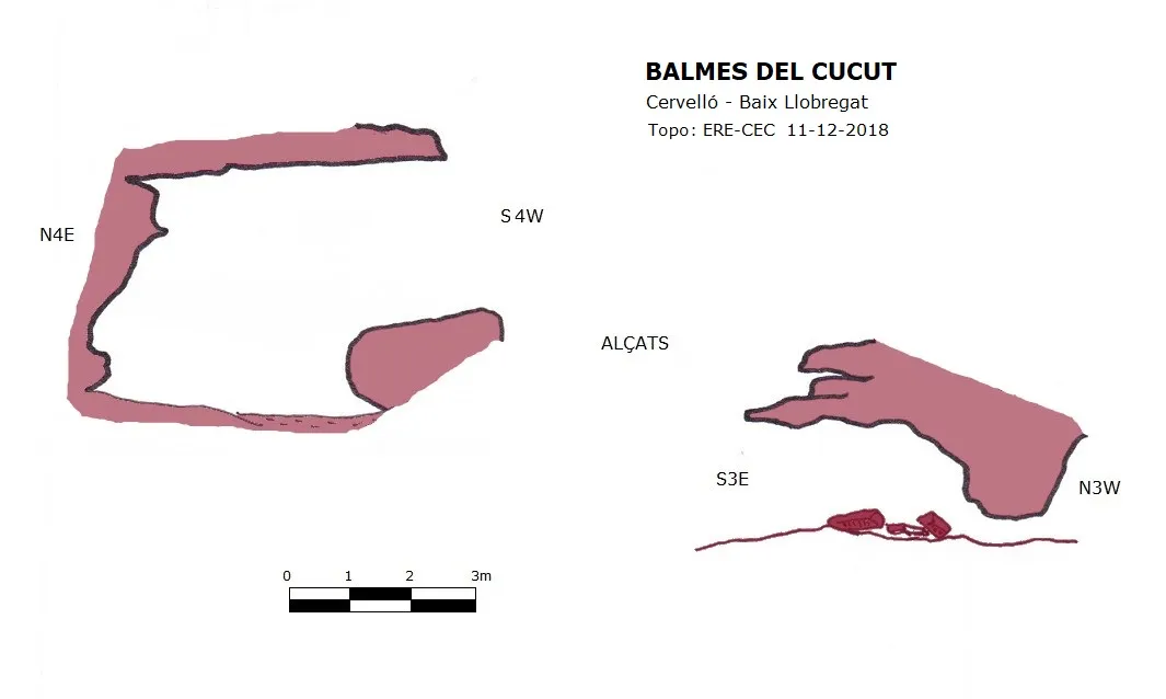

Espeleoindex · CC BY-NC 4.0, https://creativecommons.org/licenses/by-nc/4.0/ · Image © its author.
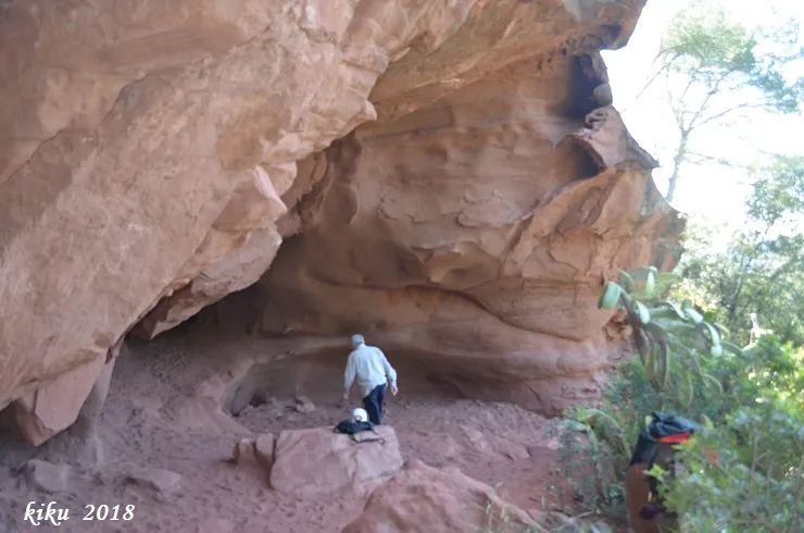
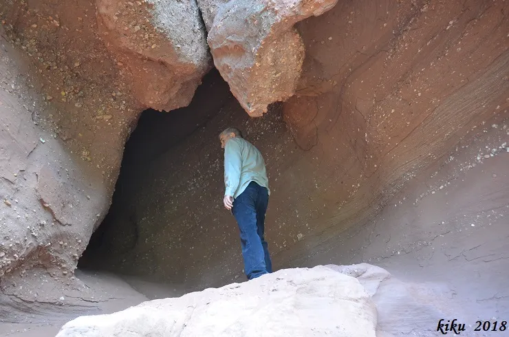
Photos

Espeleoindex · CC BY-NC 4.0, https://creativecommons.org/licenses/by-nc/4.0/ · Image © its author.
Description
Morphology
These are two small balmes opened in the basal silicic conglomerates. They face one another. The larger one is 5 metres deep, while the other also has a route of 5 metres but by means of a narrow conduit it emerges to the exterior through a narrow conduit.
History
Known in hiking circles, in recent years they have been documented on various Wikiloc routes.
User Comments (0)
No comments yet.
Be the first to share your experience!
Registered Explorations (0)
No explorations registered yet.
Register your visit to this cave!
Bibliography
- Totes les dades, coordenades, topografia i fotografies han estat aportades per membres de l'ERE del CEC.
Nearby caves
Coves Nº2-3 de Can Mas
0.8 km · S
Torrelles de Llobregat (Baix Llobregat)
1 topo.8 photos
Cova Nº4 de Can Mas
0.8 km · S
Torrelles de Llobregat (Baix Llobregat)
1 topo.3 photos

Foradada Nº1 de la Serra de Can Valent
0.8 km · SE
Torrelles de Llobregat (Baix Llobregat)
1 topo.6 photos
Cova Nº1 de Can Mas
0.8 km · S
Torrelles de Llobregat (Baix Llobregat)
1 topo.5 photos
Source: Espeleoindex (espeleoindex.com), modified. CC BY-NC 4.0, https://creativecommons.org/licenses/by-nc/4.0/