

Balma Roja de Vilacireres
A 5-metre-long rock shelter in Guixers (Solsonès), with a depth of about 4 to 5 metres and an opening of about 15 m.
EspeleoWorld
Balma Roja de Vilacireres
A 5-metre-long rock shelter in Guixers (Solsonès), with a depth of about 4 to 5 metres and an opening of about 15 m.
Guixers · Solsonès
Length: 5 m
Updated record
https://espeleoworld.com/en/c/balma-roja-de-vilacireres
Information can change. Always verify coordinates, access, weather, and cave conditions before setting out.
A 5-metre-long rock shelter in Guixers (Solsonès), with a depth of about 4 to 5 metres and an opening of about 15 m.
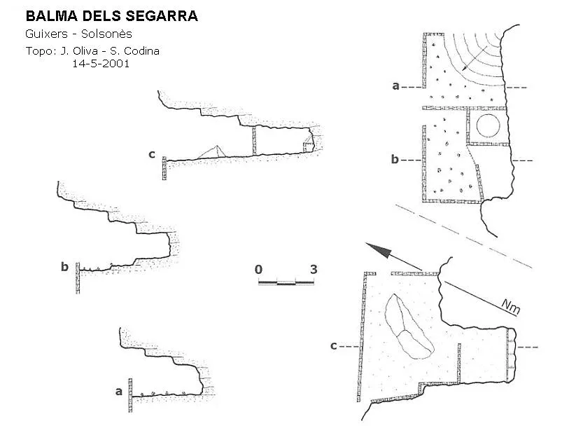
Topographic

Espeleoindex · CC BY-NC 4.0, https://creativecommons.org/licenses/by-nc/4.0/ · Image © its author.
Photos
Espeleoindex · CC BY-NC 4.0, https://creativecommons.org/licenses/by-nc/4.0/ · Image © its author.
Description
Morphology
It is about 4 to 5 metres deep and opens out over some 15 m with a fairly high, sunny visor. The terrain is conglomerate with a band of sandstone or gritstone with an inclined plane dipping to the north. The rock below is red in colour. About 50 metres above, a spur with a very good view over the torrent de Vilacireres.
History
Known since time immemorial.
Bio
We will only find goat droppings.
User Comments (0)
No comments yet.
Be the first to share your experience!
Registered Explorations (0)
No explorations registered yet.
Register your visit to this cave!
Bibliography
- Catalunya Subterrània. Blog de Jordi de Valles, post del dimecres 29 d'octubre de 2014. “cavitatsdecatalunya.blogspot.com.es”. Dades arxiu Salvador Codina.
Nearby caves
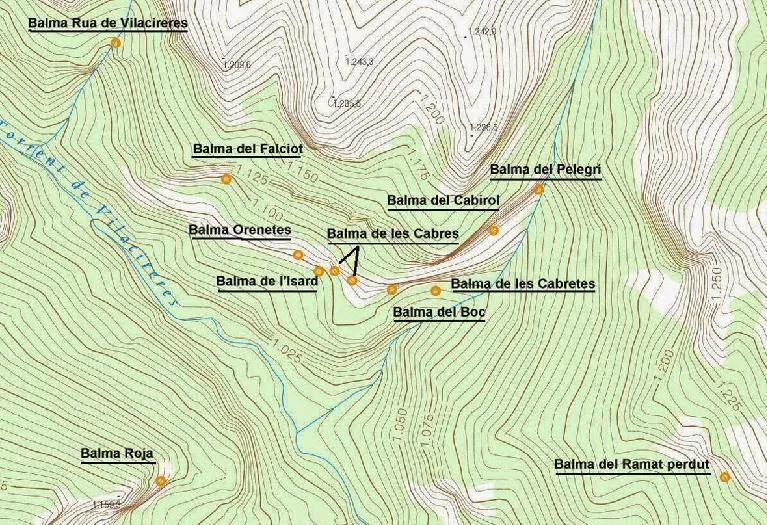
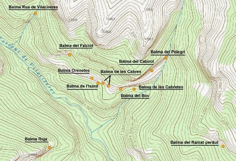
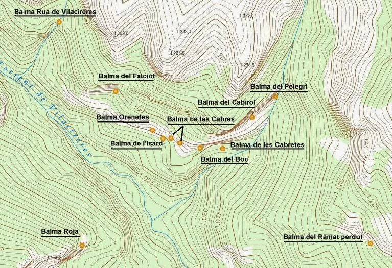


Source: Espeleoindex (espeleoindex.com), modified. CC BY-NC 4.0, https://creativecommons.org/licenses/by-nc/4.0/