
Balma Guillotera
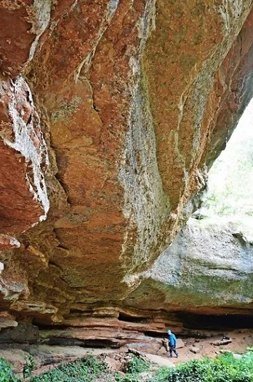
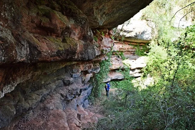
Large rock shelter at the torrent dels Codolosos (Mura), 81 m in a semicircle, 10 m deep and 8 m maximum height, with the remains of a quadrangular structure dug into the ground.
EspeleoWorld
Balma Guillotera
Large rock shelter at the torrent dels Codolosos (Mura), 81 m in a semicircle, 10 m deep and 8 m maximum height, with the remains of a quadrangular structure dug into the ground.
Mura · Bages
Length: 10 m
Updated record
https://espeleoworld.com/en/c/balma-guillotera
Information can change. Always verify coordinates, access, weather, and cave conditions before setting out.
Large rock shelter at the torrent dels Codolosos (Mura), 81 m in a semicircle, 10 m deep and 8 m maximum height, with the remains of a quadrangular structure dug into the ground.
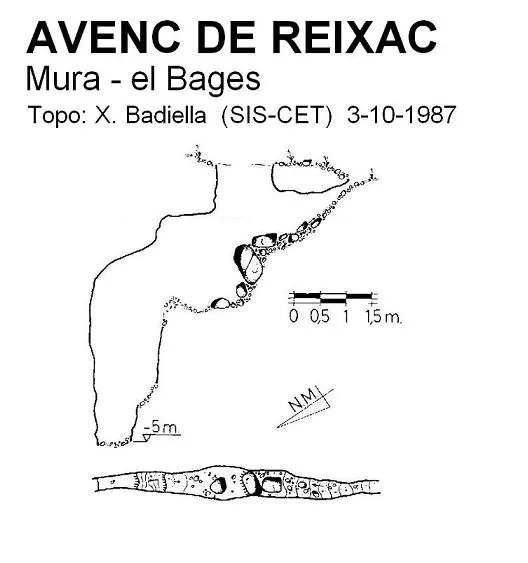
Topographic
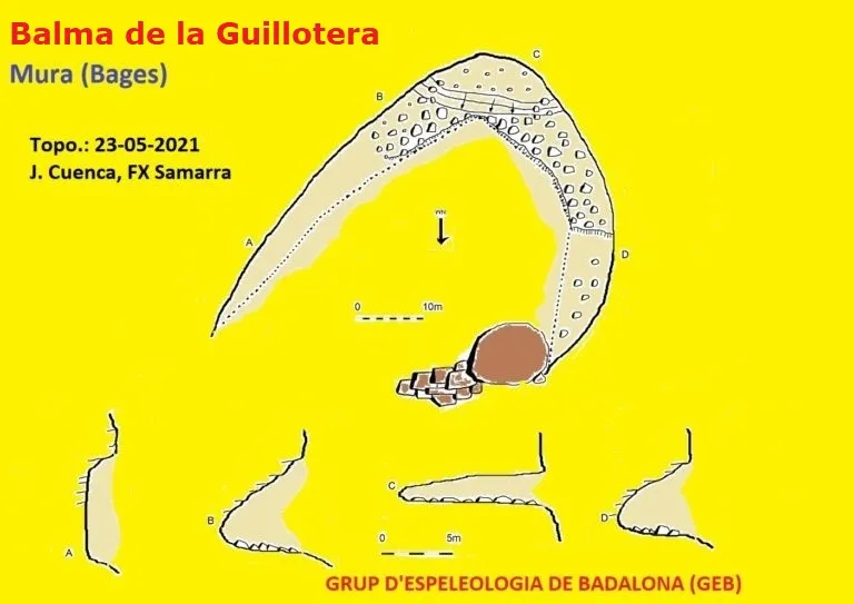
Espeleoindex · CC BY-NC 4.0, https://creativecommons.org/licenses/by-nc/4.0/ · Image © its author.
Photos
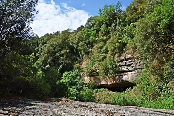
Espeleoindex · CC BY-NC 4.0, https://creativecommons.org/licenses/by-nc/4.0/ · Image © its author.
Description
Morphology
The rock shelter, which we find in the middle of the saltant dels Codolosos, has a length of 81 m, in a semicircle, by 10 m deep and a maximum height of 8 m.
Other details
Inside there are the remains of a structure. It is a kind of receptacle dug into the ground of the rock shelter, quadrangular in shape, with the walls plastered with mud. Various hypotheses are suggested about the use of this work, such as a lime kiln, a water deposit, a place for making mud and a cist.
History
Known since remote times.
Toponymy: Most maps, including that of the ICGC, reference the toponym as Guillotera, but we have received a communication from Josep Canals of the association Recull Històric de Mura informing us that the correct one is Griotera. We imagine that this toponym would also be valid for the nearby Balma de la Font de la Guillotera.
User Comments (0)
No comments yet.
Be the first to share your experience!
Registered Explorations (0)
No explorations registered yet.
Register your visit to this cave!
Bibliography
- Totes les dades, topografia i fotografies han estat extretes del web: geb.cat (del Grup d'Espeleologia de Badalona). Apunt del 5-7-2021. Dades: Josep Cuenca i Xavier Samarra (GEB)
Nearby caves
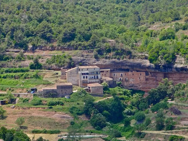


Source: Espeleoindex (espeleoindex.com), modified. CC BY-NC 4.0, https://creativecommons.org/licenses/by-nc/4.0/