
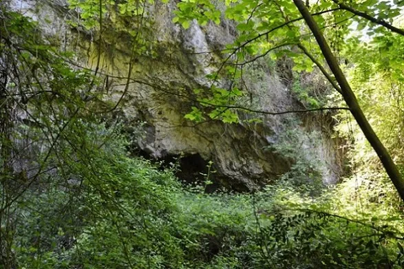
Balma del Noguer
Spacious rock shelter near Torrelletes, in Castellet i la Gornal.
EspeleoWorld
Balma del Noguer
Spacious rock shelter near Torrelletes, in Castellet i la Gornal.
Castellet i la Gornal · Alt Penedès
Length: 8 m · Depth: 2 m
Updated record
https://espeleoworld.com/en/c/balma-del-noguer
Information can change. Always verify coordinates, access, weather, and cave conditions before setting out.
Spacious rock shelter near Torrelletes, in Castellet i la Gornal.
Topographic
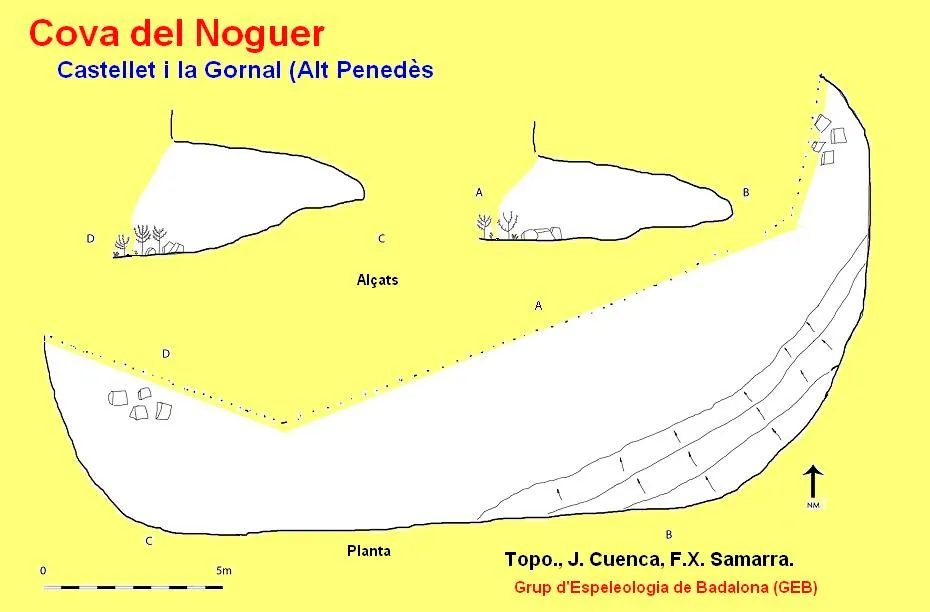

Espeleoindex · CC BY-NC 4.0, https://creativecommons.org/licenses/by-nc/4.0/ · Image © its author.
Photos

Espeleoindex · CC BY-NC 4.0, https://creativecommons.org/licenses/by-nc/4.0/ · Image © its author.
Description
Morphology
The maximum measurements of the rock shelter are 30 metres wide, by 8 metres deep and 6 metres high.
Hydrology
It seems that formerly, inside the rock shelter, there was a channel that conducted the water captured from the infiltrations of the ceiling to a small pool located outside.
History
Cavity known since time immemorial.
User Comments (0)
No comments yet.
Be the first to share your experience!
Registered Explorations (0)
No explorations registered yet.
Register your visit to this cave!
Bibliography
- Aymamí, Gener (1997).- “Contribució al coneixement espeleològic de l'Alt Penedès (18ena. Nota).” Excursionisme (260): 254. Unió Excursionista de Catalunya. Barcelona.
- Altres dades, coordenades, topografia 2017 i fotografies extretes del web: geb.cat (del GE Badalona). Apunt del 6-6-2017. Dades: Ana Ruiz, Josep Cuenca i Xavier Samarra (GEB).
Nearby caves
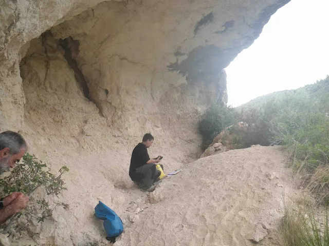
Cova d'en Muntaner
0.7 km · SW
Castellet i la Gornal (Alt Penedès)
1 topo.2 photos
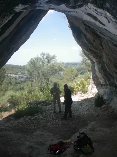
Cova Fosca
0.9 km · S
Castellet i la Gornal (Alt Penedès)
1 topo.2 photos
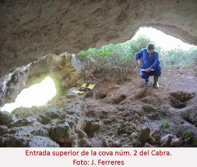
Cova Nº2 del Cabra
1.1 km · SW
Castellet i la Gornal (Alt Penedès)
1 topo.2 photos
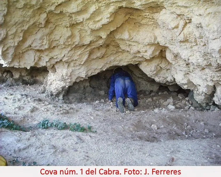
Cova Nº1 del Cabra
1.1 km · SW
Castellet i la Gornal (Alt Penedès)
2 topo.1 photos
Source: Espeleoindex (espeleoindex.com), modified. CC BY-NC 4.0, https://creativecommons.org/licenses/by-nc/4.0/