
Balma de la Feu
Balma d'àmplies dimensions a Santa Pau (Garrotxa)
EspeleoWorld
Balma de la Feu
Balma d'àmplies dimensions a Santa Pau (Garrotxa)
Santa Pau · Garrotxa
Length: 14 m
Updated record
https://espeleoworld.com/en/c/balma-de-la-feu
Information can change. Always verify coordinates, access, weather, and cave conditions before setting out.
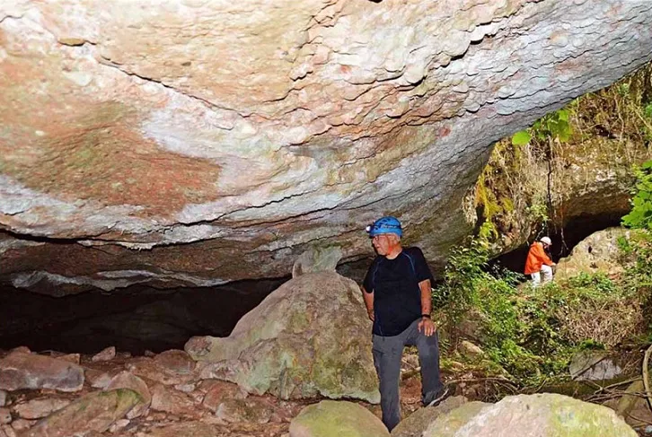
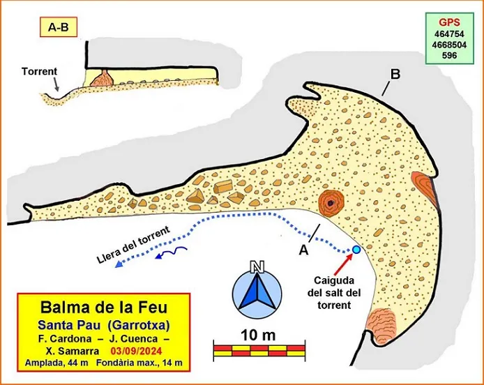
A large shelter in Santa Pau (Garrotxa), on the bed of the torrent de Sallent, 44 m wide and 14 m deep at its maximum.
Topographic

Espeleoindex · CC BY-NC 4.0, https://creativecommons.org/licenses/by-nc/4.0/ · Image © its author.
Photos

Espeleoindex · CC BY-NC 4.0, https://creativecommons.org/licenses/by-nc/4.0/ · Image © its author.
Description
Morphology
Shelter situated in a shady corner of the wood, on the bed of the torrent. It is 44 m wide, but the most important part is found in the eastern half, where the maximum depth is reached, 14 m. The roof is not very high, we could say that the average height is of the order of a metre and a half, for which reason it is necessary to advance somewhat stooped in a good part of the cavity. The floor is relatively flat, although stony.
Speleothems
Some concretions stand out, including small gours.
Hydrology
The torrent de Sallent drops down over the shelter in a small waterfall when it carries water, at the very mouth.
Progression
When we have followed the path of the coll de Boixedes for some 250 m, just as we pass an elevated meadow, we must look on the right for the start of a small path that goes to cross the torrent de Sallent, which we will go up along a narrow path that runs along the left hydrographic bed. After walking some 350 m along it, we will reach the cavity, in the very middle of the torrent.
History
Known to some people of the area and to one or another local hiker. Speleologically unpublished, it does not appear in any speleological catalogue.
User Comments (0)
No comments yet.
Be the first to share your experience!
Registered Explorations (0)
No explorations registered yet.
Register your visit to this cave!
Bibliography
Totes les dades, topografia i fotografies han estat extretes del web: geb.cat (del Grup d'Espeleologia de Badalona), Apunt del 4-11-2024. Dades; Ferran Cardona (ECM Barcelonès), Josep Cuenca i Xavier Samarra (GE Badalona)
Nearby caves
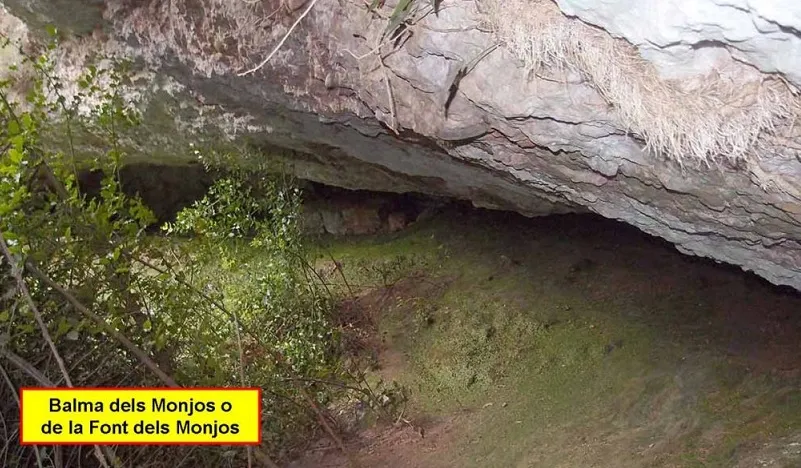
Bauma dels Monjos
0.6 km · N
Santa Pau (Garrotxa)
1 topo.4 photos
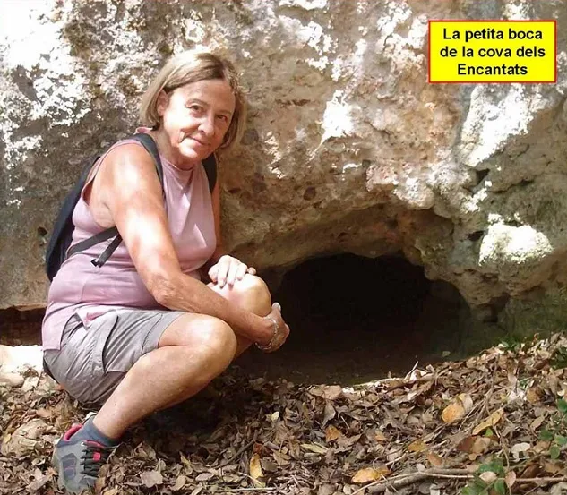
Cova dels Encantats
0.8 km · N
Sant Joan les Fonts (Garrotxa)
1 topo.6 photos
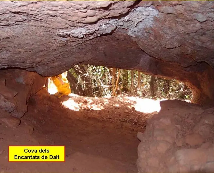
Cova dels Encantats de Dalt
0.8 km · N
Sant Joan les Fonts (Garrotxa)
1 topo.2 photos
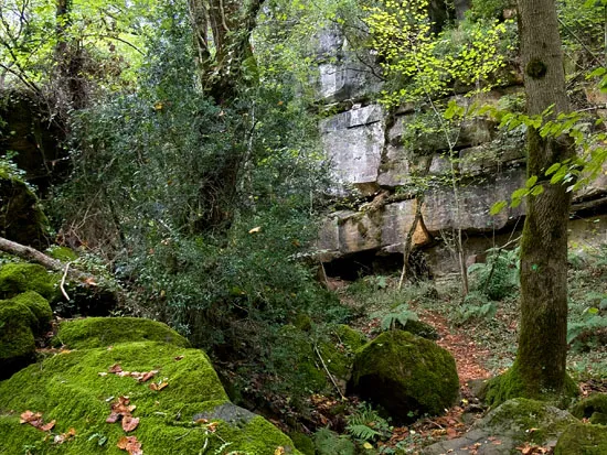
Baumes d'en Caxurma
5.0 km · N
Montagut i Oix (Garrotxa)
1 topo.11 photos
Source: Espeleoindex (espeleoindex.com), modified. CC BY-NC 4.0, https://creativecommons.org/licenses/by-nc/4.0/