
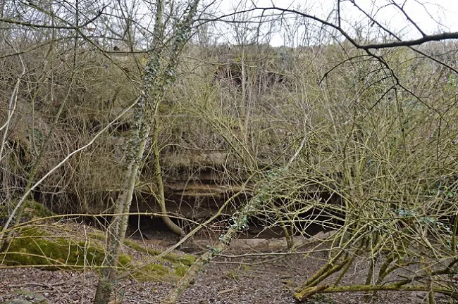
Balma d'Escrigues
Balma amb salt d'aigua a Santa Maria de Merlès (Berguedà)
EspeleoWorld
Balma d'Escrigues
Balma amb salt d'aigua a Santa Maria de Merlès (Berguedà)
Santa Maria de Merlès · Berguedà
Length: 4 m
Updated record
https://espeleoworld.com/en/c/balma-d-escrigues
Information can change. Always verify coordinates, access, weather, and cave conditions before setting out.
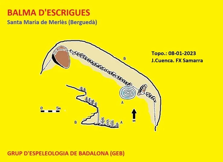
A rock shelter with a waterfall in Santa Maria de Merlès, in the Berguedà, 45 m long, 4 m deep and 3 m high.
Topographic

Espeleoindex · CC BY-NC 4.0, https://creativecommons.org/licenses/by-nc/4.0/ · Image © its author.
Photos

Espeleoindex · CC BY-NC 4.0, https://creativecommons.org/licenses/by-nc/4.0/ · Image © its author.
Description
Morphology
The cavity measures 45 m long by 4 m deep and 3 m high. Above this rock shelter, another, much smaller rock shelter is formed.
Hydrology
This is a rock shelter through which the waters of a stream plunge, the stream conducting them from the upper side.
Other details
The rock shelter is partially covered with vegetation.
User Comments (0)
No comments yet.
Be the first to share your experience!
Registered Explorations (0)
No explorations registered yet.
Register your visit to this cave!
Bibliography
- Totes les dades, topografia i fotografies han estat extretes del web: geb.cat (Grup d'Espeleologia de Badalona). Apunt del 4-4-2023. Dades: Josep Cuenca i Xavier Samarra (GEB)
Nearby caves
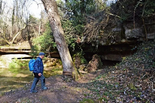
Balma de la Font del Clotet
3.4 km · SE
Prats de Lluçanès (Lluçanès)
1 topo.4 photos
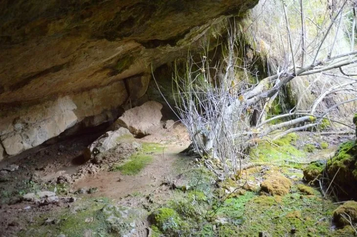
Balma de la Font d'en Pere Costa
3.6 km · S
Santa Maria de Merlès (Berguedà)
1 topo.3 photos
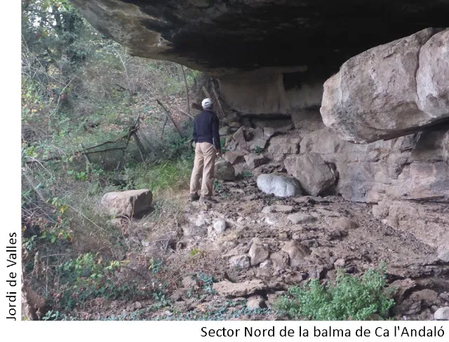
Balma de Ca l'andaló
3.9 km · NE
Santa Maria de Merlès (Berguedà)
1 topo.4 photos
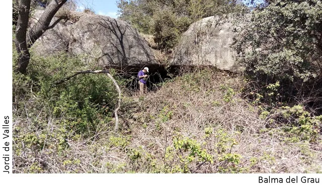
Balma del Grau
4.2 km · E
Lluçà (Lluçanès)
1 topo.1 photos
Source: Espeleoindex (espeleoindex.com), modified. CC BY-NC 4.0, https://creativecommons.org/licenses/by-nc/4.0/