
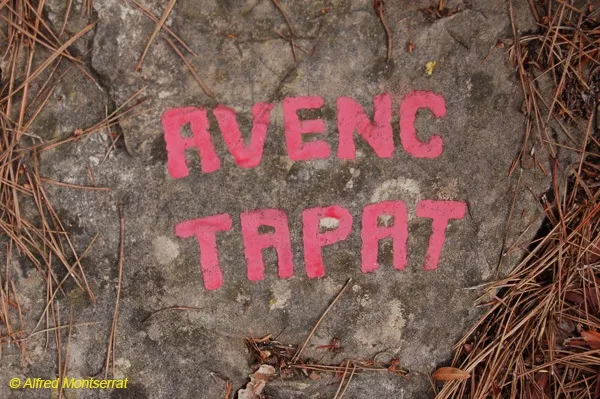
Avenc Tapat
A 19-metre-deep pit in Vallirana (Ordal), in the Lledoner residential development.
EspeleoWorld
Avenc Tapat
A 19-metre-deep pit in Vallirana (Ordal), in the Lledoner residential development.
Vallirana · Baix Llobregat
Length: 21 m · Depth: 19 m
Updated record
https://espeleoworld.com/en/c/avenc-tapat
Information can change. Always verify coordinates, access, weather, and cave conditions before setting out.
A 19-metre-deep pit in Vallirana (Ordal), in the Lledoner residential development.
Topographic
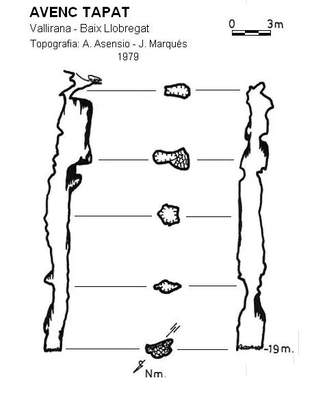

Espeleoindex · CC BY-NC 4.0, https://creativecommons.org/licenses/by-nc/4.0/ · Image © its author.
Photos

Espeleoindex · CC BY-NC 4.0, https://creativecommons.org/licenses/by-nc/4.0/ · Image © its author.
Description
Morphology
The entrance, which was cleared, forms a sloping funnel that gives way to a pit 19 metres deep; its width hardly exceeds one metre along its entire course.
Other details
At present the cavity is undergoing a notable process of decalcification and at the bottom rubble and refuse are observed, certainly coming from the nearby residential development.
History
In February 1955, Lluís Muntan (GES-CMB), while descending along a ridge from the coll de l'Ordal towards the Fondo del Lledoner, located two pits he did not know. The following week, together with his GES companions, they carried out the exploration. The one closer to the coll de l'Ordal they named Avenc del Pont (its entrance is divided in two by a rock bridge) and the lower one they called Avenc Tapat (they had to uncover it first). Both are about 20 m deep.
They published the Avenc del Pont years later (Geo y Bio KARST nº 18, 1968) and in 1976 Joan Borràs (GES-CMB) found out that it is really the Avenc d'en Parellada, explored by M. Faura i Sans in 1910. Around 1997 the cavity disappeared under the construction works of the variant of the coll de l'Ordal road.
The Avenc Tapat was saved by a few metres when the streets of the Lledoner residential development were built.
User Comments (0)
No comments yet.
Be the first to share your experience!
Registered Explorations (0)
No explorations registered yet.
Register your visit to this cave!
Bibliography
- Rubinat, Francesc.(1988).-”Catàleg Espeleològic del Massís de Garraf.-Unitat Septentrional. Sector 12” EspeleoSie (30):13-68. SIE-CEA. Barcelona.
- Rubinat Aumedes, Francesc.(2004).-”Catàleg Espeleològic del Massís de l'Ordal”. EspeleoSie-(monogràfic):1-117. EC Gràcia/FCE. Barcelona.
- Valles, Jordi de (2017)”Baix Llobregat” Catàleg Espeleològic de Catalunya (Vol.6):1-468. EC Gràcia/FCE.
- Fotografies facilitades per Andreu Beguerie (ERE-CEC) i altres del blog: notesdecamp.blogspot (d'Alfred Montserrat, ERE-CEC)
Nearby caves
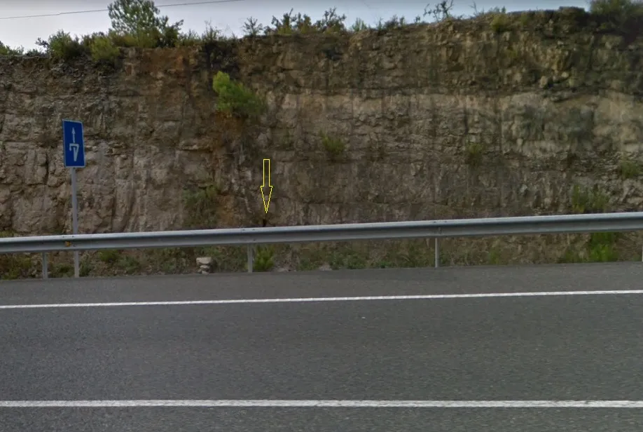
Coveta Nº3 de la Cuneta
0.1 km · N
Vallirana (Baix Llobregat)
1 topo.1 photos
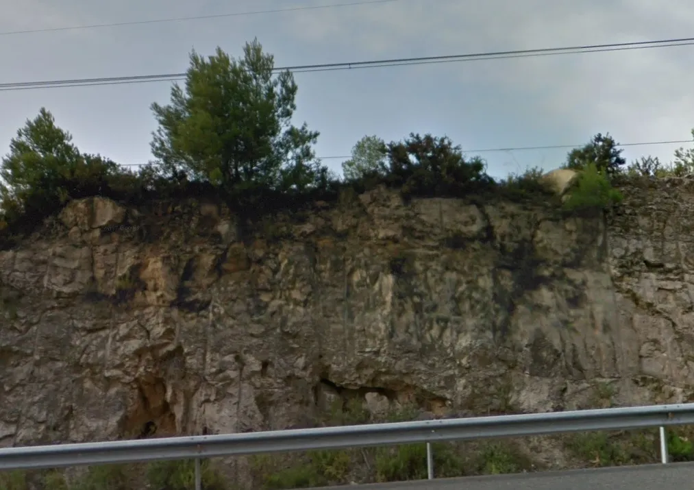
Coveta Nº2 de la Cuneta
0.1 km · N
Vallirana (Baix Llobregat)
1 topo.2 photos
Coveta Nº1 de la Cuneta
0.2 km · N
Vallirana (Baix Llobregat)
1 topo.2 photos
Coveta Penjada
0.2 km · N
Vallirana (Baix Llobregat)
1 topo.2 photos
Source: Espeleoindex (espeleoindex.com), modified. CC BY-NC 4.0, https://creativecommons.org/licenses/by-nc/4.0/