
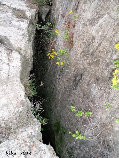
Avenc Nº1 de l'Esquerda
A 32-metre-deep pothole in la Palma de Cervelló, in the Fontpineda urbanisation, discovered by the GEIS in 1972 and explored jointly with the CE Molins de Rei in 1977.
EspeleoWorld
Avenc Nº1 de l'Esquerda
A 32-metre-deep pothole in la Palma de Cervelló, in the Fontpineda urbanisation, discovered by the GEIS in 1972 and explored jointly with the CE Molins de Rei in 1977.
Palma de Cervelló, La · Baix Llobregat
Length: 90 m · Depth: 32 m
Updated record
https://espeleoworld.com/en/c/avenc-n-1-de-l-esquerda
Information can change. Always verify coordinates, access, weather, and cave conditions before setting out.
A 32-metre-deep pothole in la Palma de Cervelló, in the Fontpineda urbanisation, discovered by the GEIS in 1972 and explored jointly with the CE Molins de Rei in 1977.
Topographic
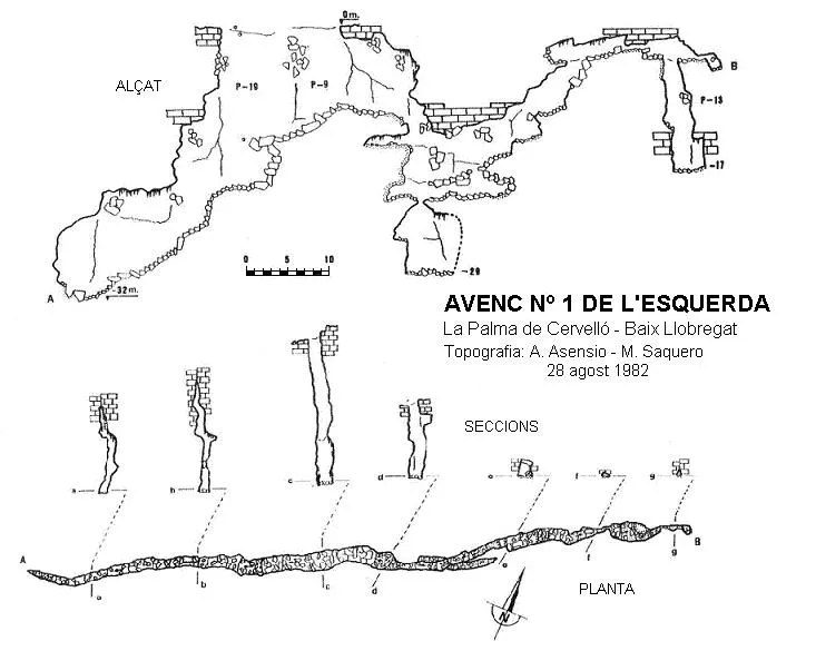

Espeleoindex · CC BY-NC 4.0, https://creativecommons.org/licenses/by-nc/4.0/ · Image © its author.
Photos

Espeleoindex · CC BY-NC 4.0, https://creativecommons.org/licenses/by-nc/4.0/ · Image © its author.
Description
Morphology
The mouth of the pothole is 10 metres long by 0.9 wide and opens the way to a shaft divided in two by some blocks, the floor being at -19 and -9 respectively. Via the P-19 one reaches a descending floor covered with small blocks, until reaching the point of maximum depth of the cavity, -32 metres. Via the P-9 we find a floor identical to the previous one but wider; after 8 metres of passage a very irregularly shaped shaft opens, -10 metres deep, semi-obstructed by blocks; among them one can access a 7-metre shaft with no continuation. Situated again on the floor of the P-10, a gallery is visible at the other end; to access it one must climb up some blocks, after some successive steps of 2 and 3 metres, it links with a rectangular room of 7X2 metres, the ceiling is formed by the accumulation of large blocks. At the upper end of the room we find a flat crawlway through which one accesses a second room of 5X2 metres; in this room we find two continuations, one by means of a crawlway that ends after a few metres, and the other through an inclined shaft -13 metres deep that ends obstructed by earth and blocks coming from the upper zone.
History
Discovered by the GEIS of the Centre Ciclista Excursionista de Sants in 1972 and explored jointly with the CE Molins de Rei in 1977. In 1979 the SIE of the CEA carried out the first known survey of the cavity. In 1982 Toni Asensio surveyed it again. The cavity remained practically forgotten due to its difficulty of access; it was not until 2014 that Tassja Römhild, a resident of Fontpineda, located the cavity and got in contact with the EspeleoÍndex team, accompanying them in the exploration of the cavity.
User Comments (0)
No comments yet.
Be the first to share your experience!
Registered Explorations (0)
No explorations registered yet.
Register your visit to this cave!
Bibliography
- Asensio,A.(1983).-”Contribució al coneixement espeleo-tectònic de la riera de Corbera”. Carbonato (3):15-47. GERS-AE Muntanya. Barcelona.
- Rubinat Aumedes, Francesc.(1981).-”Catàleg Espeleològic del Massís de Garraf - Unitat Septentrional - Sector 10”. GOURS (8):45-78. GEFOMA. Barcelona.
- Rubinat Aumedes, Francesc.(2004).-Catàleg Espeleològic del massís de l'Ordal (monogràfic):1-117. SIE-CE Àliga. Barcelona.
- Situació i accés a la cavitat facilitat per Tassja Römhild, resident a la urbanització de Fontpineda
Nearby caves
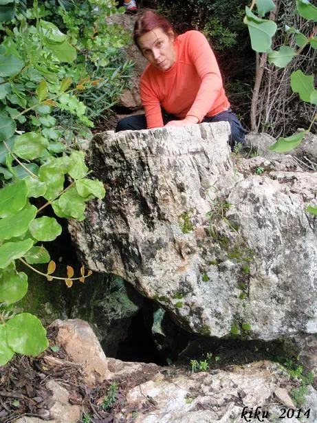
Avenc Nº2 de l'Esquerda
0.0 km · NE
Palma de Cervelló, La (Baix Llobregat)
1 topo.2 photos
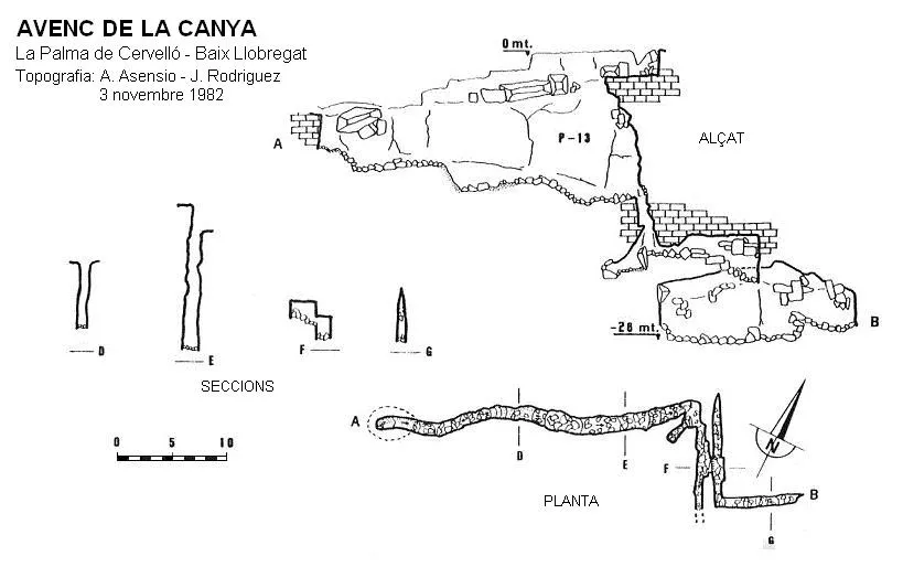
Avenc de la Canya
0.2 km · NE
Palma de Cervelló, La (Baix Llobregat)
1 topo.
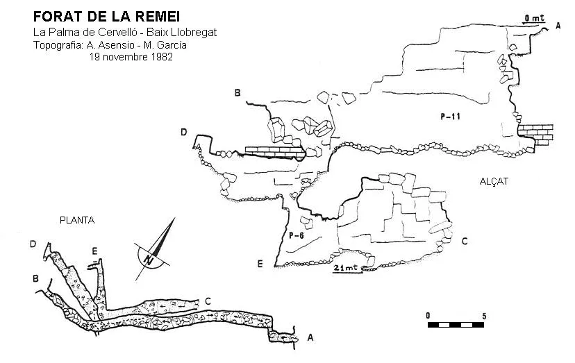
Forat de la Remei
0.3 km · E
Palma de Cervelló, La (Baix Llobregat)
2 topo.
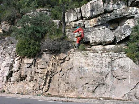
Avenc de Can Montmany
0.5 km · E
Palma de Cervelló, La (Baix Llobregat)
1 topo.4 photos
Source: Espeleoindex (espeleoindex.com), modified. CC BY-NC 4.0, https://creativecommons.org/licenses/by-nc/4.0/