
Avenc Mitos
Avenc de 18 metres de fondària al Serrat de l'Avenc, Mont-ral.
EspeleoWorld
Avenc Mitos
Avenc de 18 metres de fondària al Serrat de l'Avenc, Mont-ral.
Mont-ral · Alt Camp
Length: 28 m · Depth: 18 m
Updated record
https://espeleoworld.com/en/c/avenc-mitos
Information can change. Always verify coordinates, access, weather, and cave conditions before setting out.
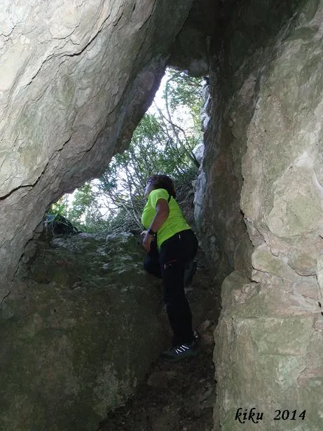
An 18-metre-deep pit at Serrat de l'Avenc, Mont-ral, with an entrance on a steep ramp, a ledge, a passage and a shaft down to -17.8 metres.
Topographic
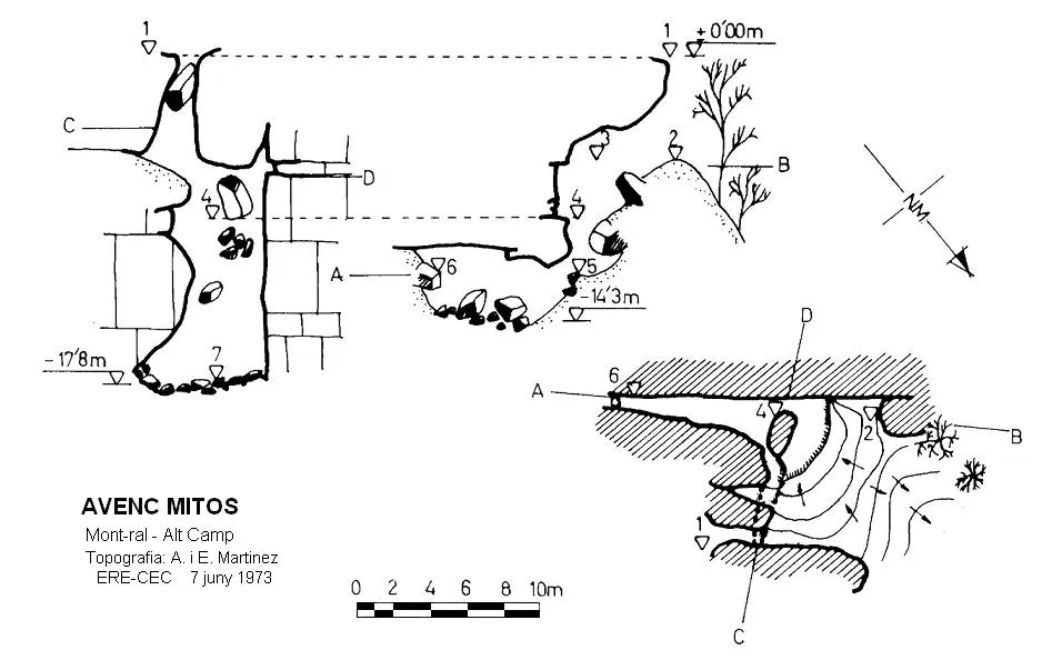
Espeleoindex · CC BY-NC 4.0, https://creativecommons.org/licenses/by-nc/4.0/ · Image © its author.
Photos
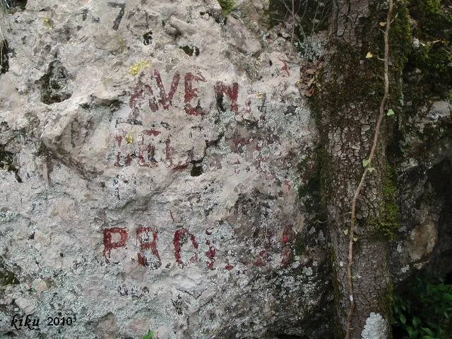
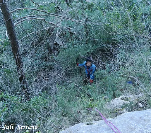
Espeleoindex · CC BY-NC 4.0, https://creativecommons.org/licenses/by-nc/4.0/ · Image © its author.
Description
Morphology
The entrance on a steep ramp places us on a ledge where another entrance opens that leads to the gully, already at the cliff face; from this ledge a short passage leads off and we also find a shaft that gives access to the final part of the cavity, located at a depth of -17.8 metres.
History
We do not know who the first explorers were; we only have the data from the exploration carried out on 7 June 1973 by the ERE del CEC, during which they made the survey.
User Comments (0)
No comments yet.
Be the first to share your experience!
Registered Explorations (0)
No explorations registered yet.
Register your visit to this cave!
Bibliography
- Borràs, J.; Miñarro,JM.; Talavera, F. (1978).- Catàleg Espeleològic de Catalunya. Vol. 2 (l'Alt Camp, la Conca de Barberà,el Baix Penedès i el Tarragonès):246 pp. Ed. Poliglota. Barcelona.
- Topografia, Arxiu Centre Excursionista de Catalunya.
Nearby caves



Source: Espeleoindex (espeleoindex.com), modified. CC BY-NC 4.0, https://creativecommons.org/licenses/by-nc/4.0/